Porter in Porter County, Indiana — The American Midwest (Great Lakes)
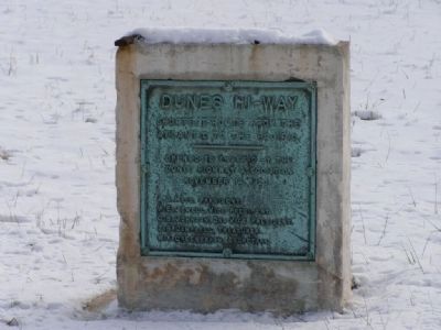
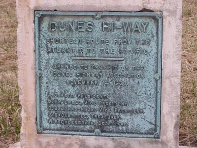
Dunes Hi-Way
Shortest Route from the Atlantic to the Pacific
Photographed by Christopher Light, January 19, 2008
1. Dunes Hi-Way Marker
A.S. Hess, President
W.E. Jewell, Vice President
O.B. Johnson, 2nd Vice President
Z.B. Campbell, Treasurer
W.K. Greenebaum, Secretary
Topics. This historical marker is listed in these topic lists: Notable Events • Roads & Vehicles. A significant historical date for this entry is November 14, 1923.
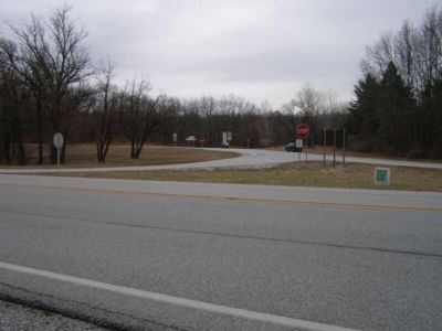
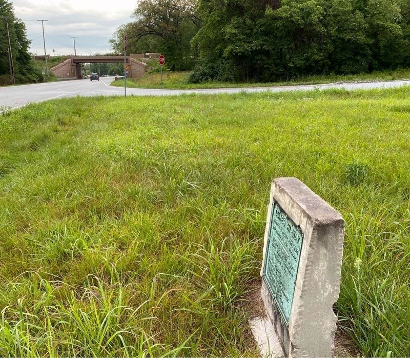
Location. 41° 38.582′ N, 87° 3.84′ W. Marker is in Porter, Indiana, in Porter County. It is at the intersection of U.S. 12 and State Road 49 on U.S. 12. The marker is located on the US 12 side of the triangle formed at the on-ramp to State Road 49. Touch for map. Marker is in this post office area: Chesterton IN 46304, United States of America. Touch for directions.

Regionally, this marker is in Northwest Indiana, specifically on the Indiana Dunes and Lake Michigan Shore, and in the Calumet Region. It is also in the American Midwest and in the Corn Belt. Globally, it is in North America, on the Great Lakes, in the Western Hemisphere, in the Western World, and in the Anglosphere. Historically, it finds itself in what was once the territory of the Mississippian
this page online
Other nearby markers. At least 8 other markers are within 2 miles of this marker, measured as the crow flies: History of the Dunes (approx. 0.2 miles away); Iron Brigade (approx. 0.6 miles away); Indiana State Police Dunes Park Post #1 (approx. 0.6 miles away); Firepit Pattern (approx. 0.8 miles away); Indiana Dunes Indigenous Cultural Trail (approx. 0.8 miles away); Indiana State Parks: the First 100 Years 1916-2016 (approx. 0.9 miles away); Cowles Bog (approx. 1.2 miles away); Daylighting: Getting Dunes Creek Out of the Pipe (approx. 1.2 miles away). Touch for a list and map of all markers in Porter.
Photographed by Christopher Light, April 4, 2008
2. Dunes Hi-Way Marker
Photographed by Christopher Light, April 3, 2008
3. Intersection of US 12 (Dunes Hiway) and SR 49
Photographed by Lou Donkle, July 27, 2022
4. Marker along US 12 with SR 49 bridge in the distance
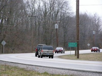
Photographed by Christopher Light, April 4, 2008
5. Dunes Highway east bound approach towards SR 49
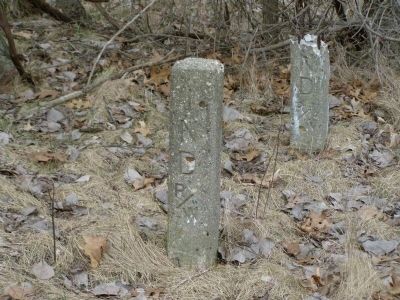
Photographed by Christopher Light, April 4, 2008
6. Historic Right-of-Way markers
Credits. This page was last revised on July 3, 2023. It was originally submitted on May 16, 2008, by Christopher Light of Valparaiso, Indiana. This page has been viewed 1,544 times since then and 40 times this year. Last updated on August 26, 2008, by Ian Histor of Calumet City, Illinois. Photos: 1, 2, 3. submitted on May 16, 2008, by Christopher Light of Valparaiso, Indiana. 4. submitted on June 26, 2023, by Lou Donkle of Valparaiso, Indiana. 5, 6. submitted on May 16, 2008, by Christopher Light of Valparaiso, Indiana. • Kevin W. was the editor who published this page.
