Kelso in Desha County, Arkansas — The American South (West South Central)
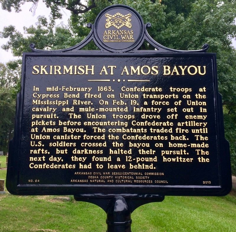
Skirmish at Amos Bayou
Erected 2013 by Arkansas Civil War Sesquicentennial Commission, Desha County Historical Society, Arkansas Natural and Cultural Resources Council. (Marker Number 64.)
Topics and series. This historical marker is listed in these topic lists: Animals • War, US Civil • Waterways & Vessels. In addition, it is included in the Arkansas Civil War Sesquicentennial Commission series list. A significant historical date for this entry is February 19, 1863.
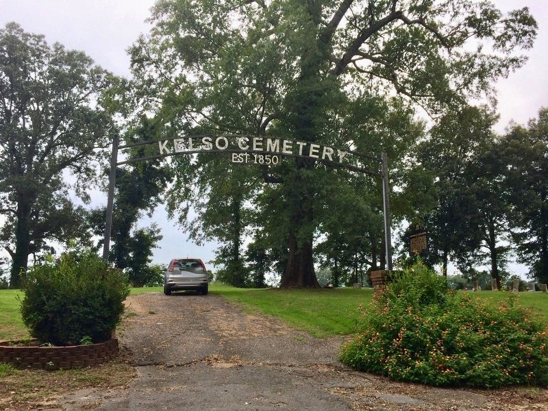
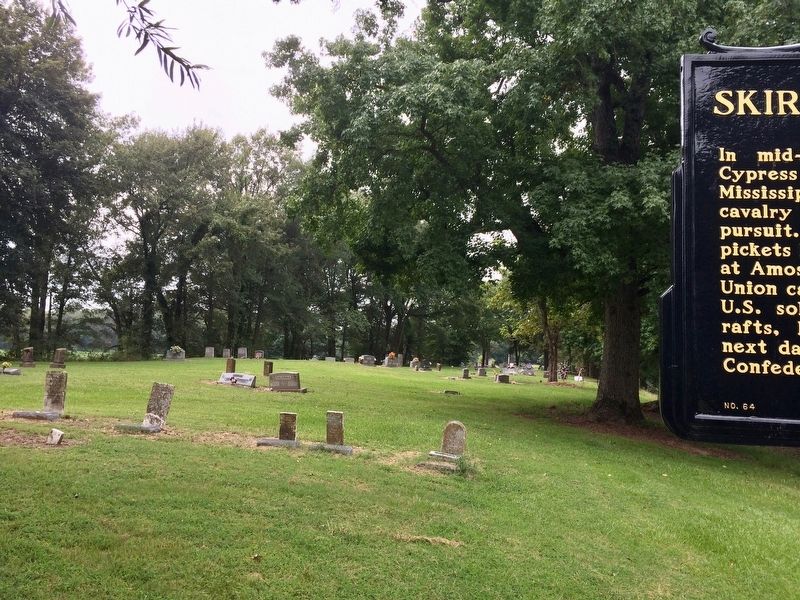
Location. 33° 46.962′ N, 91° 16.155′ W. Marker is in Kelso, Arkansas, in Desha County. Marker is on Kelso Road, 0.3 miles east of State Route 1, on the right when traveling east. Located near the Kelso Cemetery entrance gateway. Touch for map. Marker is in this post office area: Watson AR 71674, United States of America. Touch for directions.
Other nearby markers. At least 8 other markers are within 2 miles of this marker, measured as the crow flies. Old Town of Napoleon (approx. 0.9 miles away); Rohwer Japanese American Relocation Center (approx. 1.2 miles away); Why Us? Why Here? (approx. 1.2 miles away); I Am An American (approx. 1.2 miles away); Taken Away (approx. 1.2 miles away); We Lived & Died Here (approx. 1.3 miles away); Rohwer Relocation Center Memorial Cemetery (approx. 1.3 miles away); Rohwer Internment Camp Veterans Memorial (approx. 1.3 miles away).
Regarding Skirmish at Amos Bayou. The area that would become Kelso was the site of a minor Civil War skirmish that occurred on February 19–20, 1863. The skirmish began at Cypress Bend (Desha County) on the Mississippi River ten miles due east of the area of Kelso. Even today, residents remark of a cannonball embedded in a walnut tree near the Kelso Cemetery. During the war, many people living at Cypress Bend moved to the area of Kelso to escape cannon fire from Union gunboats firing at a small but persistent Confederate battery at Cypress Bend.
Credits. This page was last revised on August 30, 2017. It was originally submitted on August 30, 2017, by Mark Hilton of Montgomery, Alabama. This page has been viewed 388 times since then and 37 times this year. Photos: 1, 2, 3. submitted on August 30, 2017, by Mark Hilton of Montgomery, Alabama.


