Near Barton in Phillips County, Arkansas — The American South (West South Central)
Lick Creek Skirmish
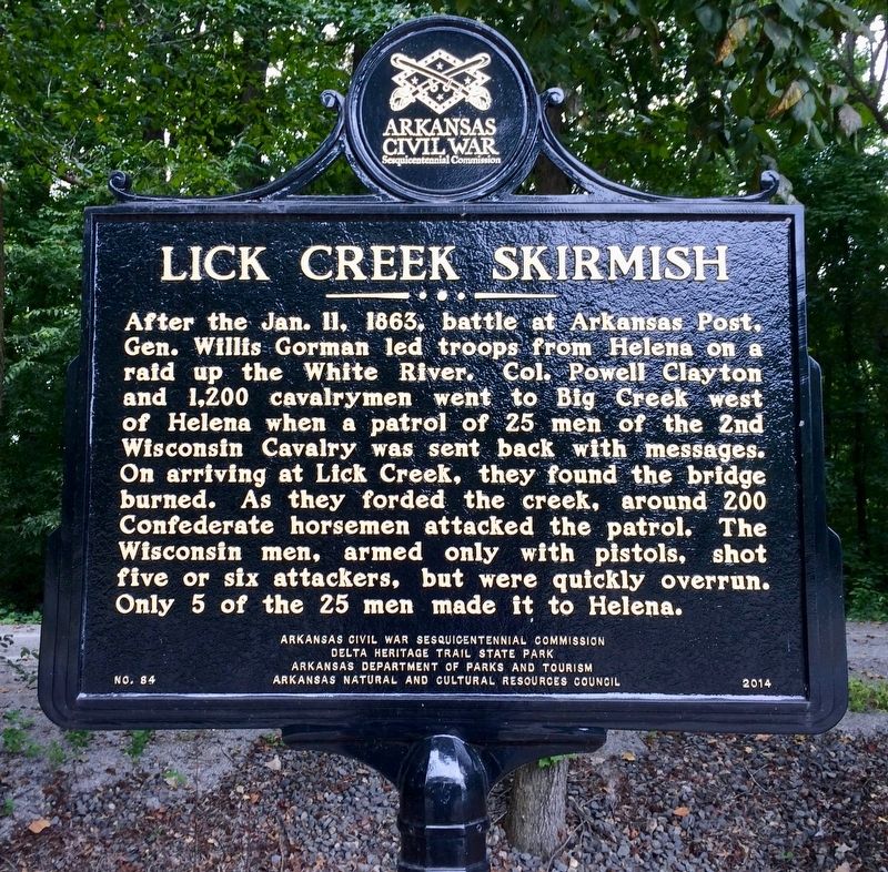
Photographed by Mark Hilton, August 26, 2017
1. Lick Creek Skirmish Marker
Erected 2014 by Arkansas Civil War Sesquicentennial Commission, Delta Heritage Trail State Park, Arkansas Department of Parks and Tourism, Arkansas Natural and Cultural Resources Council. (Marker Number 84.)
Topics and series. This historical marker is listed in these topic lists: War, US Civil • Waterways & Vessels. In addition, it is included in the Arkansas Civil War Sesquicentennial Commission series list. A significant historical date for this entry is January 11, 1863.
Location. 34° 32.019′ N, 90° 46.134′ W. Marker is near Barton, Arkansas, in Phillips County. It is on Arkansas
this page online

Regionally, this marker is in the Arkansas Delta, in Crowley’s Ridge, in the Mississippi Alluvial Plain, and in the Quapaw Homeland. It is also in the American South, specifically in the Upper South, in the Mississippi Delta, and in the Great River Road Region. Globally, it is in North America, the Western Hemisphere, the Western World, and the Anglosphere. Historically, it finds itself in what was once the territory of the Mississippian Culture, the Louisiana Purchase, one of the Confederate States of America, and the Antebellum South.
Other nearby markers. At least 8 other markers are within 9 miles of this marker, measured as the crow flies: Wood Products Capital (approx. 7 miles away); Early Railroads (approx. 7 miles away); Made in West Helena (approx. 7 miles away); A Web of Track (approx. 7 miles away); Unbroken Forest (approx. 7 miles
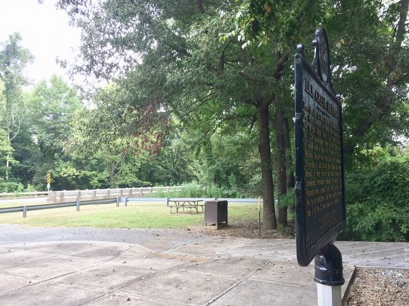
Photographed by Mark Hilton, August 26, 2017
2. Bridge over the Lick Creek can be seen in background.
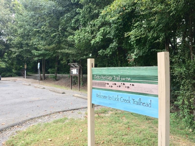
Photographed by Mark Hilton, August 26, 2017
3. View of Lick Creek Skirmish Marker at trailhead.
Credits. This page was last revised on September 26, 2020. It was originally submitted on August 30, 2017, by Mark Hilton of Montgomery, Alabama. This page has been viewed 928 times since then and 60 times this year. Photos: 1, 2, 3. submitted on August 30, 2017, by Mark Hilton of Montgomery, Alabama.
