Crocketts Bluff in Arkansas County, Arkansas — The American South (West South Central)
Crocketts Bluff
Photographed by Mark Hilton, August 26, 2017
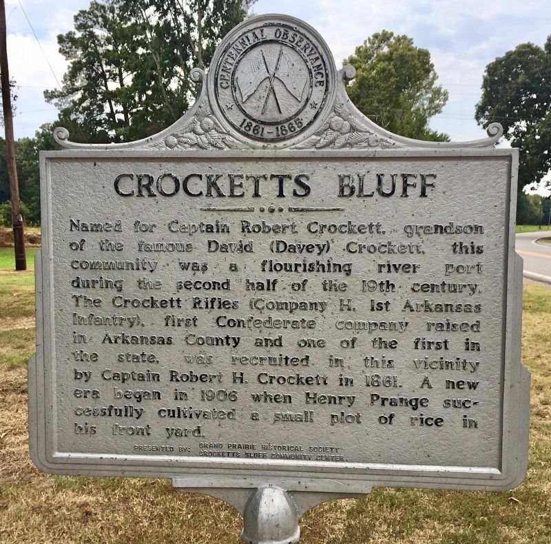
1. Crocketts Bluff Marker
Erected 1965 by the Grand Prairie Historical Society, Crocketts Bluff Community Center.
Topics. This historical marker is listed in these topic lists: War, US Civil • Waterways & Vessels. A significant historical year for this entry is 1861.
Location. This marker has been replaced by another marker nearby. It was located near 34° 26.534′ N, 91° 13.196′ W. Marker was in Crocketts Bluff, Arkansas, in Arkansas County. It was on Arkansas Route 153 north of Starks Lane, on the right when traveling north. Touch for map. Marker was in this post office area: Crocketts Bluff AR 72038, United States of America. Touch for directions.

Regionally,
this page online
Other nearby markers. At least 8 other markers are within 17 miles of this location, measured as the crow flies: A different marker also named Crocketts Bluff (here, next to this marker); Captain Alf Johnson's Spy Company (approx. 4 miles away); Immanuel High School (approx. 6½ miles away); J. Deane & Sons Hardware Store (approx. 6.7 miles away); St. Charles Battle Monument (approx. 6.7 miles away); Engagement at St. Charles (approx. 7 miles away); Mt. Union Church of Christ and Cemetery (approx. 14.7 miles away); Louisiana Territory: 1682-1800 (approx. 16.9 miles away). Touch for a list and map of all markers
Photographed by Mark Hilton, August 26, 2017
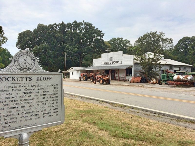
2. Marker near the former Schwab's Grocery (closed in 1985).
Related marker. Click here for another marker that is related to this marker. Marker contained incorrect info on the town's founder and was replaced.
Photographed by Mark Hilton, August 26, 2017
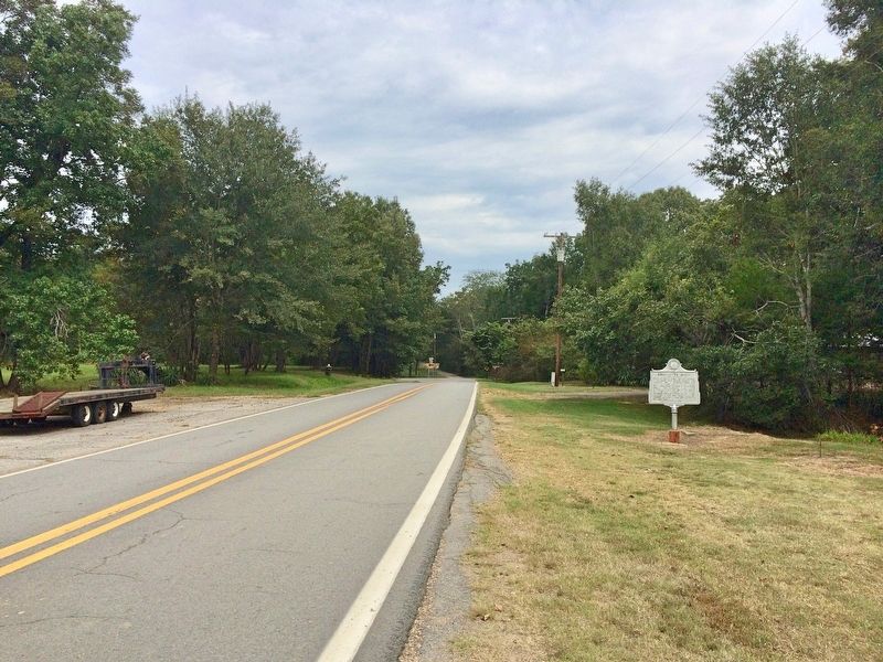
3. The view north on AR-153.
Credits. This page was last revised on November 1, 2025. It was originally submitted on September 1, 2017, by Mark Hilton of Montgomery, Alabama. This page has been viewed 1,603 times since then and 145 times this year. Photos: 1, 2, 3. submitted on September 1, 2017, by Mark Hilton of Montgomery, Alabama.
