Helena in Phillips County, Arkansas — The American South (West South Central)
Fight at the Levee
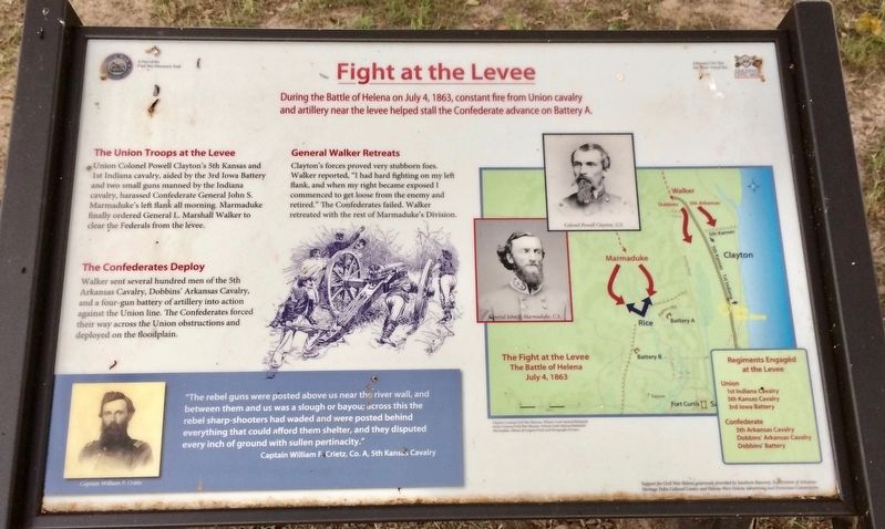
During the Battle of Helena on July 4, 1863, constant fire from Union cavalry and artillery near the levee helped stall the Confederate advance on Battery A.
The Union Troops at the Levee
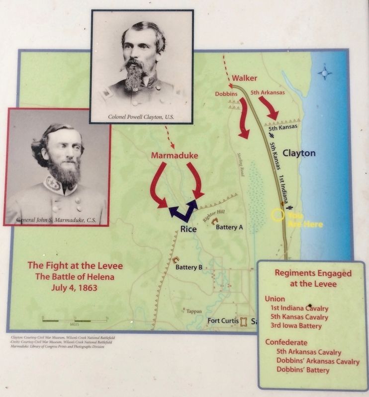
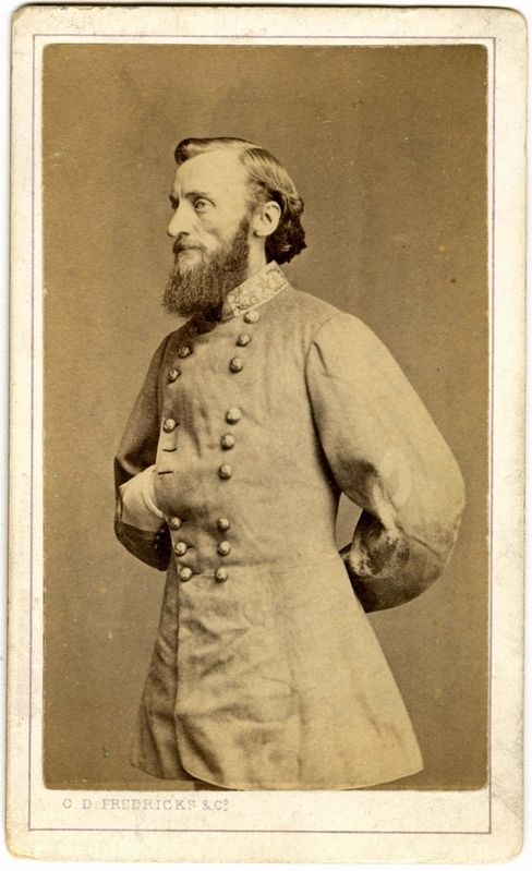
Union Colonel Powell Clayton's 5th Kansas and 1st Indiana cavalry, aided by the 3rd Iowa Battery and two small guns manned by the Indiana cavalry, harassed Confederate General John S. Marmaduke's left flank all morning. Marmaduke finally ordered General L. Marshall Walker to clear the Federals from the levee.
The Confederates Deploy
Walker sent several hundred men of the 5th Arkansas Cavalry, Dobbins' Arkansas Cavalry, and a four-gun battery of artillery into action against the Union line. The Confederates forced their way across the Union obstructions and deployed on the floodplain.
General Walker Retreats
Clayton's forces proved very stubborn foes. Walker reported, "I had hard fighting on my left flank, and when my right became exposed I commenced to get loose from the enemy and retired." The Confederates failed. Walker retreated with the rest of Marmaduke's Division.
[Inset quote]
"The rebel guns were posted above us near the river wall, and between them and us was a slough or bayou; across this the rebel sharp-shooters had waded and were posted behind everything that could afford them shelter, and they disputed every inch of ground with sullen pertinacity."
Captain William F. Crietz, Co. A, 5th Kansas Cavalry
Erected 2013 by Arkansas Civil War Sesquicentennial Commission.
Topics. This historical marker is listed in these topic lists: War, US Civil • Waterways & Vessels. A significant historical date for this entry is July 4, 1863.
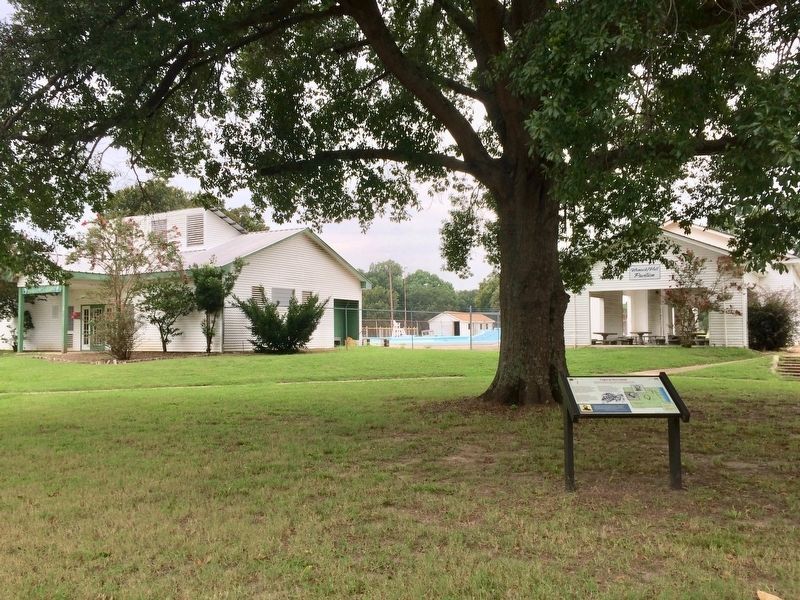
Location. 34° 32.367′ N, 90° 35.168′ W. Marker is in Helena, Arkansas, in Phillips County. Marker is at the intersection of Monroe Street and Cherry Street, on the left when traveling east on Monroe Street. Located near the Helena North Pool House. Touch for map. Marker is at or near this postal address: 352 Monroe Street, Helena AR 72342, United States of America. Touch for directions.
Other nearby markers. At least 8 other markers are within walking distance of this marker. “Let him sleep now with his brave companions” (approx. 0.3 miles away); Remembering the Fallen (approx. 0.3 miles away); A Grand Memorial (approx. 0.3 miles away); Service with Distinction (approx. 0.4 miles away); Battery A (approx. 0.4 miles away); Patrick Ronayne Cleburne (approx. 0.4 miles away); "We are all the same as dead men" (approx. 0.7 miles away); World War I 1917-1918 (approx. 0.7 miles away). Touch for a list and map of all markers in Helena.
More about this marker. An Arkansas Civil War Sesquicentennial site and a part of the Arkansas Civil War Discovery Trail.
Also see . . . Wikipedia article on the Battle of Helena. (Submitted on September 4, 2017, by Mark Hilton of Montgomery, Alabama.)
Credits. This page was last revised on September 4, 2017. It was originally submitted on September 4, 2017, by Mark Hilton of Montgomery, Alabama. This page has been viewed 255 times since then and 13 times this year. Photos: 1, 2, 3, 4, 5. submitted on September 4, 2017, by Mark Hilton of Montgomery, Alabama.
