Helena in Phillips County, Arkansas — The American South (West South Central)
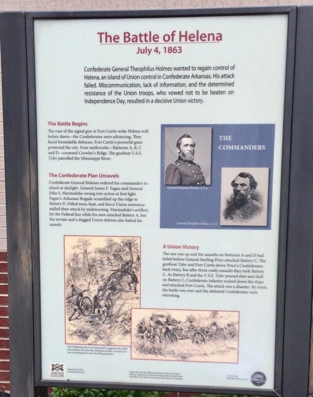
The Battle of Helena
July 4, 1863
The Battle Begins
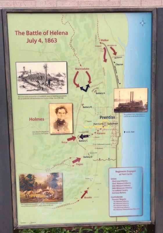
The roar of the signal gun at Fort Curtis woke Helena well before dawn—the Confederates were advancing. They faced formidable defenses. Fort Curtis's powerful guns protected the city. Four earthworks—Batteries A, B, C and D—crowned Crowley's Ridge. The gunboat U.S.S. Tyler patrolled the Mississippi River.
The Confederate Plan Unravels
Confederate General Holmes ordered his commanders to attack at daylight. General James F. Fagan and General John S. Marmaduke swung into action at first light Fagan's Arkansas Brigade scrambled up the ridge to Battery D. Felled trees, heat, and fierce Union resistance stalled their attack by midmorning. Marmaduke's artillery hit the Federal line while his men attacked Battery A, but the terrain and a dogged Union defense also halted his assault.
Union Victory
The sun was up and the assaults on Batteries A and D had failed before General Sterling Price attacked Battery C. The gunboat Tyler and Fort Curtis drove Price's Confederates back twice, but after three costly assaults they took Battery C. As Battery B and the U.S.S. Tyler poured shot and shell on Battery C, Confederate infantry rushed down the slope and attacked Fort Curtis. The attack was a disaster. By noon, the battle was over and the defeated Confederates were retreating.
[Photo captions]
Bottom left: The Confederate attack was hampered by rugged terrain, felled trees and heat. By noon they had gathered their wounded and were retreating back to the Alan Polk plantation.
Top right inset: The Commanders - General Benjamin Prentiss, U.S.A. - General Theophilus Holmes, C.S.A.
Erected 2013 by Arkansas Civil War Sesquicentennial Commission.
Topics. This historical marker is listed in these topic lists: Forts and Castles • War, US Civil • Waterways & Vessels.
Location. 34° 31.726′ N, 90° 35.479′ W. Marker is in Helena, Arkansas, in Phillips County. Marker is on Columbia Street south of Perry Street (Business U.S. 49), on the right when traveling south. Located on the east side of the Phillips County
Library. Touch for map. Marker is at or near this postal address: 702 Porter Street, Helena AR 72342, United States of America. Touch for directions.
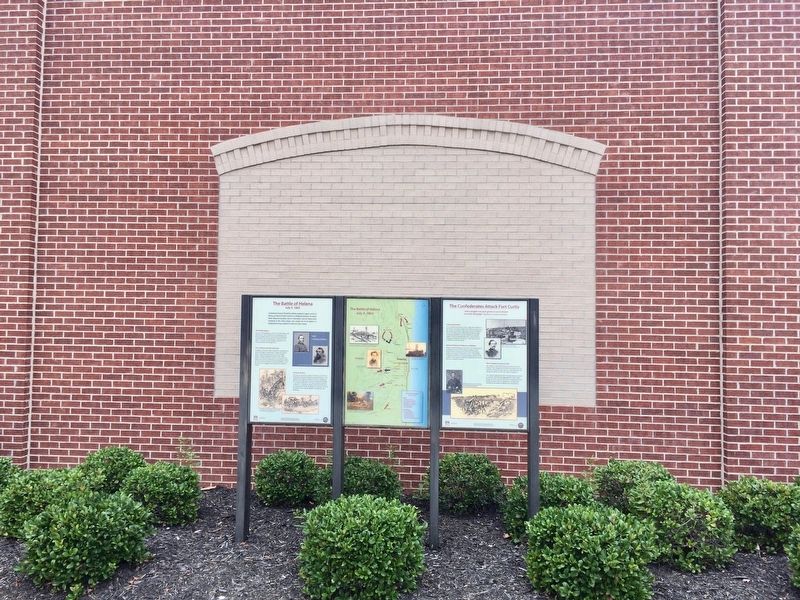
Other nearby markers. At least 8 other markers are within walking distance of this marker. The Confederates Attack Fort Curtis (here, next to this marker); Russwurm Memorial (within shouting distance of this marker); Fort Curtis (within shouting distance of this marker); William Patterson (about 300 feet away, measured in a direct line); Phillips County's Confederate Soldiers (approx. 0.2 miles away); General Patrick Cleburne (approx. 0.2 miles away); Patrick Cleburne in Helena (approx. 0.2 miles away); The Irish Immigrant (approx. 0.2 miles away). Touch for a list and map of all markers in Helena.
More about this marker. An Arkansas Civil War Sesquicentennial site and a part of the Arkansas Civil War Discovery Trail.
Also see . . . Wikipedia article on the Battle of Helena. (Submitted on September 4, 2017, by Mark Hilton of Montgomery, Alabama.)
Credits. This page was last revised on September 4, 2017. It was originally submitted on September 4, 2017, by Mark Hilton of Montgomery, Alabama. This page has been viewed 295 times since then and 10 times this year. Photos: 1, 2, 3, 4. submitted on September 4, 2017, by Mark Hilton of Montgomery, Alabama.


