Llewellyn Farms in Dublin in Franklin County, Ohio — The American Midwest (Great Lakes)
Field of Corn
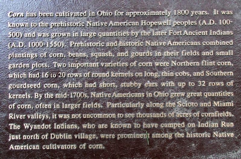
Corn
| — | First of Multiple Plaques | — |
Photographed by Rev. Ronald Irick, August 31, 2017
1. Field of Corn Marker
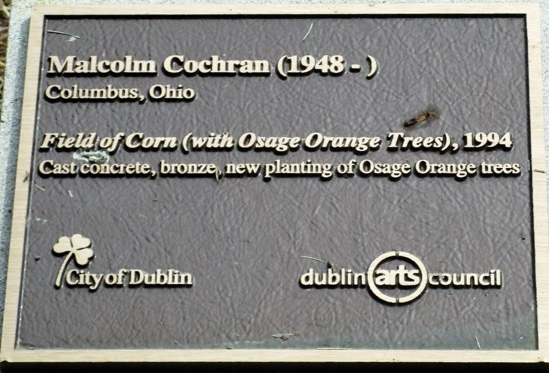
Second plaque Malcolm Cochrane (1948- ) Columbus, Ohio “Field of Corn” (with Osage Orange Trees), 1994 cast concrete, bronze, new planting of Osage Orange trees (City of
this page online
Erected 1994 by Dublin Arts Council.
Topics. This historical marker is listed in these topic lists: Agriculture • Indigenous Peoples and Communities • Settlements & Settlers.
Location. 40° 5.1′ N, 83° 7.437′ W. Marker is in Dublin, Ohio, in Franklin County. It is in Llewellyn Farms. It is at the intersection of Rings Road and Frantz Road, on the left when traveling west on Rings Road. Touch for map. Marker is at or near this postal address: 4995 Rings Rd, Dublin OH 43017, United States of America. Touch for directions.

Regionally, this marker is in the Scioto Valley and in the Columbus Metropolitan Area. It is also in the American Midwest and in the Corn Belt. Globally, it is in North America, the Western Hemisphere, the Western World, and the Anglosphere. Historically, it finds itself in what was once the Haudenosaunee (Iroquois) Confederacy, the territory of the Mississippian Culture, and the Northwest Territory.
Other nearby markers. At least 8 other markers are within one mile of this marker, measured as the
Photographed by Rev. Ronald Irick, August 31, 2017
2. Field of Corn Marker
the Artist's plaque
More about this marker. There are five text markers, an artist's marker, and an Arts Council sign at this site, plus the "field of Corn" sculpture
Photographed by Rev. Ronald Irick, August 31, 2017
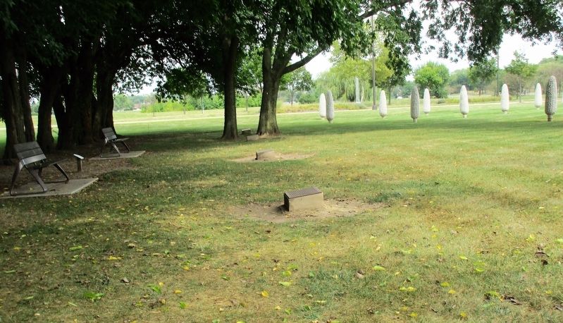
3. Field of Corn Marker
the plaques are located in the tree line, behind the Field of Corn
Photographed by Rev. Ronald Irick, August 31, 2017
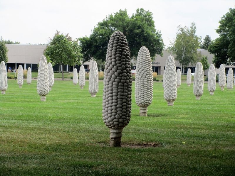
4. Field of Corn Marker
one of the sculptures in the "Field of Corn"
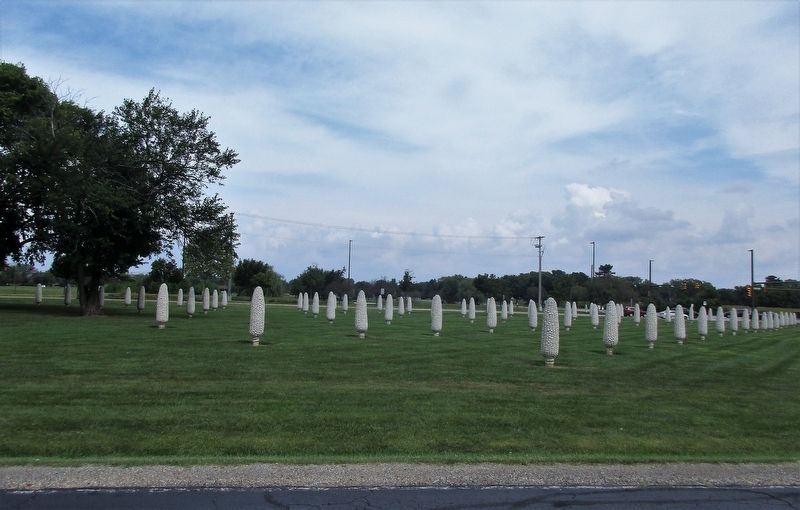
Photographed by Rev. Ronald Irick, August 31, 2017
5. Field of Corn Marker
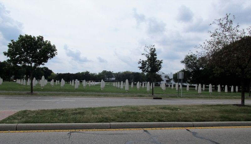
Photographed by Rev. Ronald Irick, August 31, 2017
6. Field of Corn Marker
Credits. This page was last revised on February 4, 2025. It was originally submitted on September 4, 2017, by Rev. Ronald Irick of West Liberty, Ohio. This page has been viewed 747 times since then and 36 times this year. Photos: 1, 2, 3, 4, 5, 6. submitted on September 4, 2017, by Rev. Ronald Irick of West Liberty, Ohio. • Bill Pfingsten was the editor who published this page.
