Jarrell Home
circa 1898
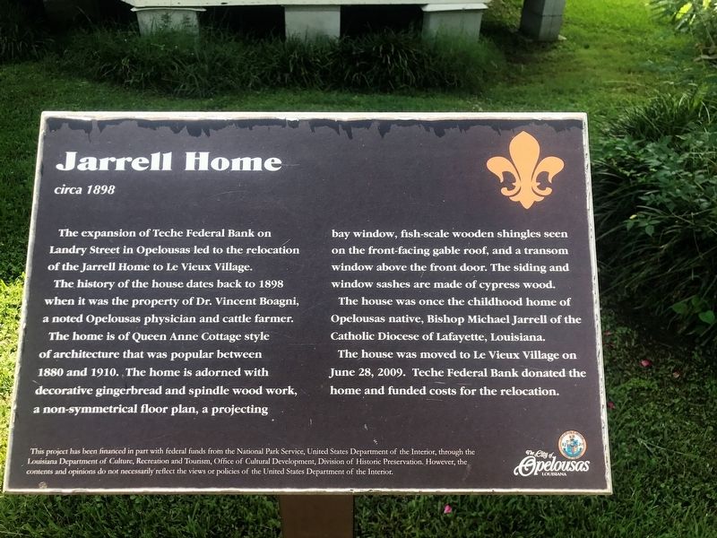
The expansion of the Teche Federal Bank on Landry Street in Opelousas led to the relocation of the Jarrell Home to Le Vieux Village
The history of the house dates back to 1898 when it was the property of Dr. Vincent Boagni, a noted Opelousas physician and cattle farmer.
The home is of Queen Anne Cottage style of architecture that was popular between 1880 and 1910. The home is adorned with decorative gingerbread and spindle wood work, a non-symmetrical floor plan, a projecting bay window, fish-scale wooden shingles seen on the front facing gable roof, and a transom window above the front door. The siding and window sashes are made of cypress wood.
The house was once the childhood home of Opelousas native, Bishop Michael Jarrell of the Catholic Diocese of Lafayette, Louisiana.
The house was moved to Le Vieux Village on June 28, 2009. Teche Federal Bank donated the home and funded the costs for the relocation.
Erected by City of Opelousas Louisiana.
Topics. This historical marker is listed in these topic lists: Agriculture • Animals • Architecture • Science & Medicine.
Location. 30° 31.88′ N,
this page online

Regionally, this marker is in Acadiana — Cajun Country. It is also in the American South and specifically in the Deep South. Globally, it is in North America, a Gulf of Mexico state, the Western Hemisphere, the Western World, and the Anglosphere. Historically, it finds itself in what was once New Spain, Acadia, the territory of the Mississippian Culture, the Louisiana Purchase, one of the Confederate States of America, and the Antebellum South.
Other nearby markers. At least 8 other markers are within walking distance of this marker: The Macland Plantation Bell (here, next to this marker); St. Joseph Methodist Church for Colored People (a few steps from this marker); Acadian House / Pigeoneer (within shouting distance of this marker); Opelousas Firsts and Famous/ Hall of Fame
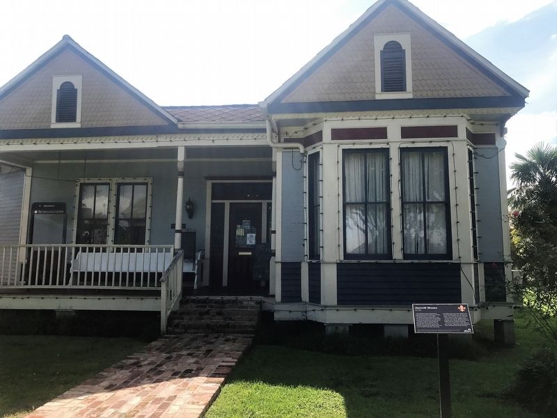
More about this marker. The City of Opelousas Tourist Information is located on the grounds of Le Vieux Village Historical Park & Heritage Museum at the eastern entrance of Opelousas along U.S. Highway 190.
Credits. This page was last revised on July 28, 2023. It was originally submitted on September 5, 2017, by Cajun Scrambler of Assumption, Louisiana. This page has been viewed 411 times since then and 29 times this year. Photos: 1, 2. submitted on September 5, 2017.
