Kingsport in Sullivan County, Tennessee — The American South (East South Central)
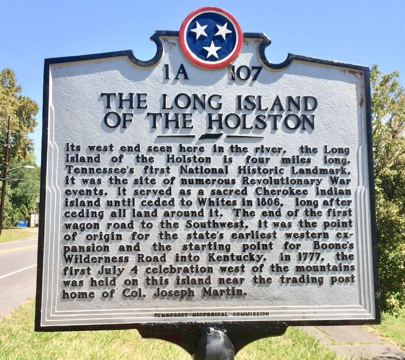
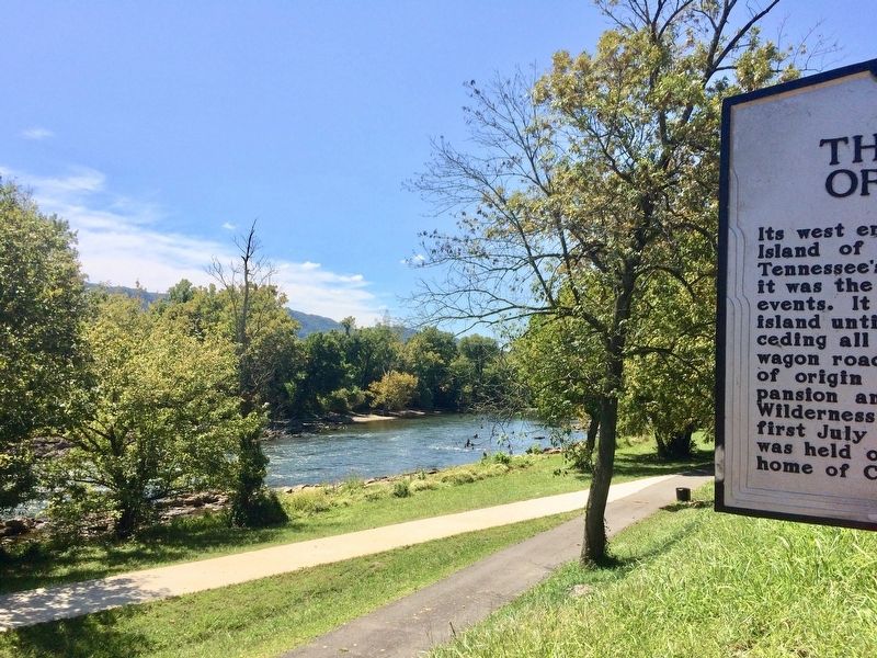
The Long Island of the Holston
Erected by Tennessee Historical Commission. (Marker Number 1A 107.)
Topics and series. This historical marker is listed in these topic lists: Landmarks • Native Americans • War, US Revolutionary • Waterways & Vessels. In addition, it is included in the Tennessee Historical Commission series list. A significant historical date for this entry is July 4, 1806.
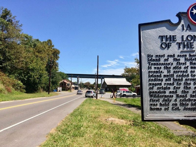
Location. 36° 33.073′ N, 82° 35.04′ W. Marker is in Kingsport, Tennessee, in Sullivan County. Marker is on Netherland Inn Road, 0.3 miles east of Upton Street, on the right when traveling east. Touch for map. Marker is at or near this postal address: 1837 Netherland Inn Road, Kingsport TN 37660, United States of America. Touch for directions.
Other nearby markers. At least 8 other markers are within walking distance of this marker. Flatboat "Adventure" December 22, 1779 (approx. 0.6 miles away); The Great Indian War Path (approx. 0.6 miles away); Bank Barn (approx. 0.6 miles away); Daniel Boone Wilderness Trail (approx. 0.6 miles away); Netherland Inn (approx. 0.6 miles away); Netherland Inn / King's Boat Yard (approx. 0.6 miles away); The Old Schoolhouse (approx. 0.6 miles away); The Boat Yard (approx. 0.6 miles away). Touch for a list and map of all markers in Kingsport.
More about this marker. Marker was moved from former location at the west end of the Riverfront Park about 0.3 miles west of here.
Also see . . . Wikipedia article on the Long Island (Long Island of the Holston). (Submitted on September 11, 2017, by Mark Hilton of Montgomery, Alabama.)
Credits. This page was last revised on September 11, 2017. It was originally submitted on September 10, 2017, by Mark Hilton of Montgomery, Alabama. This page has been viewed 675 times since then and 65 times this year. Photos: 1. submitted on September 10, 2017, by Mark Hilton of Montgomery, Alabama. 2, 3. submitted on September 11, 2017, by Mark Hilton of Montgomery, Alabama.


