Fort Stanton in Lincoln County, New Mexico — The American Mountains (Southwest)
Fort Stanton Cave
Photographed by William F Haenn, September 13, 2017
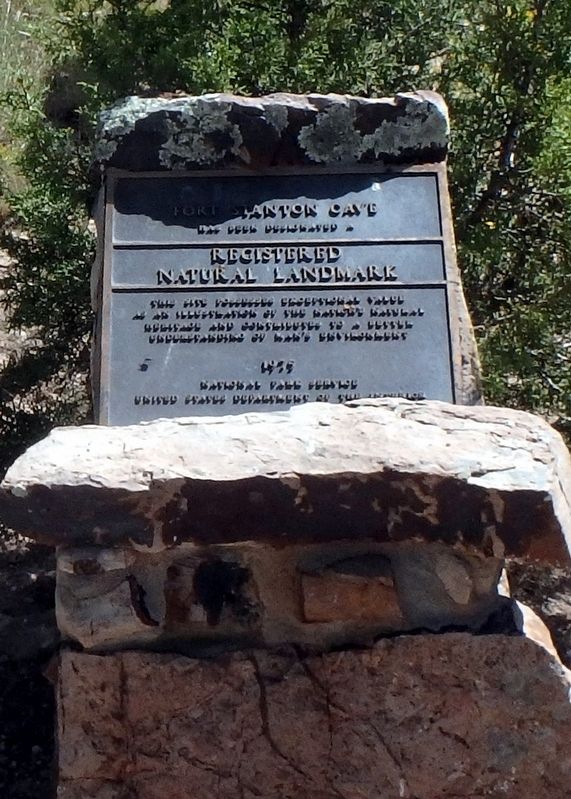
1. Fort Stanton Cave Marker
Has been designated a
Registered
Natural Landmark
The site possesses exceptional value as an illustration of the nation's natural heritage and contributes to a better understanding of man's environment
1975
Erected 1975 by National Park Service United States Department of the Interior.
Topics and series. This historical marker is listed in these topic lists: Environment • Natural Features. In addition, it is included in the National Historic Landmarks series list.
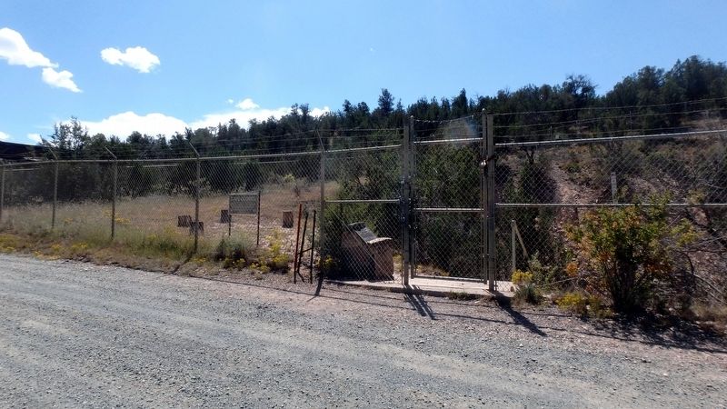
Location. 33° 30.409′ N, 105° 29.6′ W. Marker is in Fort Stanton, New Mexico, in Lincoln County. It is on Cave Canyon Trail, on the left when traveling south. Site is located in the Fort Stanton - Snowy River Cave Natural Conservation Area operated by the Bureau of Land Management and is accessible to the public by a BLM road off of U.S. Highway 380 west of Lincoln NM. Touch for map. Marker is at or near this postal address: E Well Trail, Fort Stanton NM 88323, United States of America. Touch for directions.

Regionally, this marker is in New Mexico’s Pecos Valley.
this page online
Other nearby markers. At least 8 other markers are within 2 miles of this marker, measured as the crow flies: Eve Ball (1890-1984) (approx. one mile away); American Merchant Marine Monuments (approx. 1.7 miles away); Fort Stanton (approx. 1.9 miles away); Stables and Corrals (approx. 1.9 miles away); a different marker also named Fort Stanton (approx. 1.9 miles away); a different marker also named Fort Stanton (approx. 2 miles away); Community House (approx. 2 miles away); Buildings 17 - 20 (approx. 2 miles away). Touch for a list and map of all markers in Fort Stanton.
More about this marker. A primitive campground is located at the cave site with a restroom and three picnic shelter campsites.
Photographed by William F Haenn, September 13, 2017
2. Fort Stanton Cave Marker location
Photographed by William F Haenn, September 13, 2017
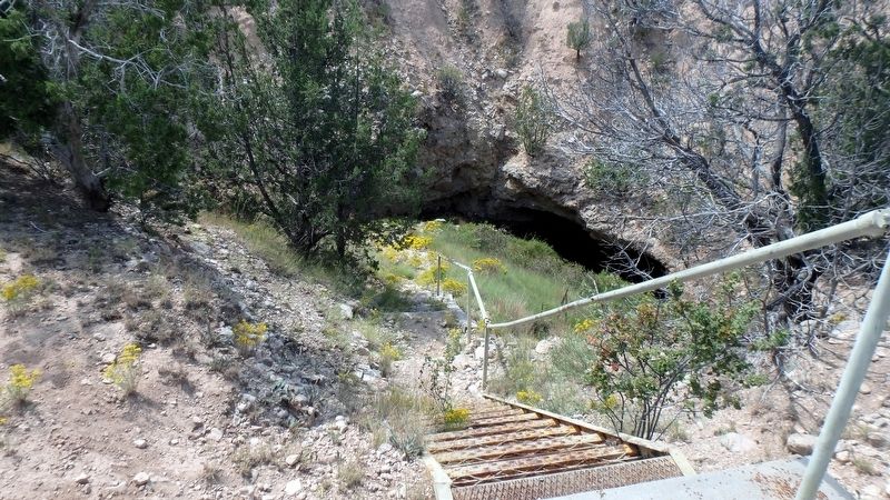
3. Fort Stanton Cave entrance
Photographed by William F Haenn, September 13, 2017
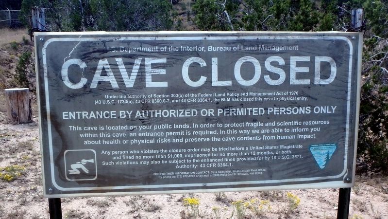
4. Fort Stanton Cave NOTICE
Credits. This page was last revised on October 6, 2025. It was originally submitted on September 16, 2017, by William F Haenn of Fort Clark (Brackettville), Texas. This page has been viewed 683 times since then and 68 times this year. Photos: 1, 2, 3, 4. submitted on September 16, 2017, by William F Haenn of Fort Clark (Brackettville), Texas. • Syd Whittle was the editor who published this page.
