St. Augustine in St. Johns County, Florida — The American South (South Atlantic)
Nuestra Señora de la Soledad
Our Lady of Solitude, Church and Hospital
Photographed by Jay Kravetz, June 6, 2017
1. Nuestra Señora de la Soledad Marker
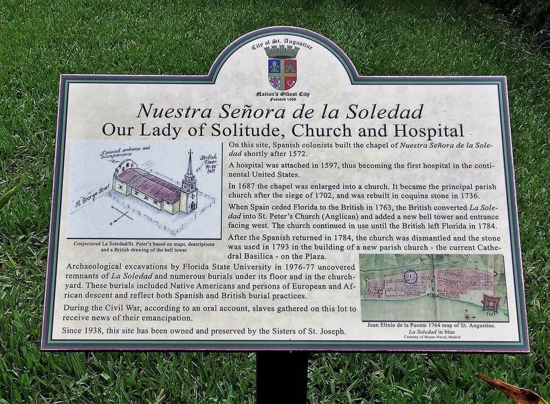
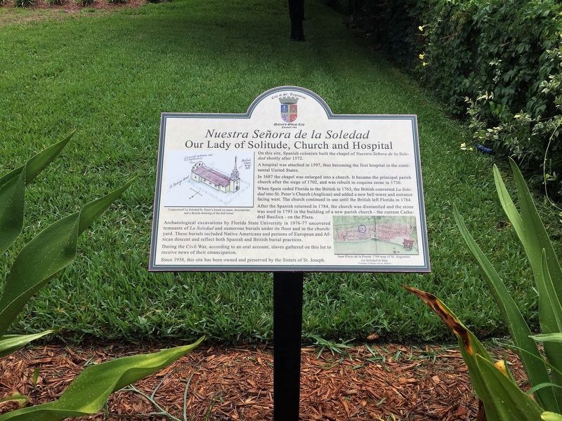
On this site, Spanish colonists built the chapel of Nuestra Señora de la Soledad shortly after 1572.
A hospital was attached in 1597, thus becoming the first hospital in the continental United States.
In 1687 the chapel was enlarged into a church. It became the principal parish church after the siege of 1702, and was rebuilt in coquina stone in 1736.
When Spain ceded Florida to the British in 1763, the British converted La Soledad into St. Peter's Church (Anglican) and added a new bell tower and entrance facing west. The church continued in use until the British left Florida in 1784.
After the Spanish returned in 1784, the church was dismantled and the stone was used in 1793 in the building of a new parish church - the current Cathedral Basilica - on the Plaza.
Archaeological excavations by Florida State University in 1976-77 uncovered remnants of La Soledad and numerous burials under its floor and in the churchyard.
These burials included Native Americans and persons of European and African descent and reflect both Spanish and British burial practices. During the Civil War, according to an oral account,
this page online
Since 1938, this site has been owned and preserved by the Sisters of St. Joseph.
Captions:
Conjectured La Soledad/St.Peter’s based on maps, descriptions and a British drawing of the bell tower.
Juan Elixío de la Puente 1764 map of St. Augustine. La Soledad in blue
Courtesy of Museo Naval, Madrid
Erected 2012 by City of St. Augustine.
Topics. This historical marker is listed in these topic lists: Cemeteries & Burial Sites • Religion & Religious Structures • Settlements & Settlers • War, US Civil. A significant historical year for this entry is 1572.
Location. 29° 53.424′ N, 81° 18.738′ W. Marker is in St. Augustine, Florida, in St. Johns County. It can be reached from Saint George Street south of Cadiz Street, on the right when traveling south. Touch for map. Marker is at or near this postal address: 232 St George St, Saint Augustine FL 32084, United States of America. Touch for directions.

Regionally, this marker is in First Coast and in Greater Jacksonville. It is also in the American South and on the Eastern Seaboard. Globally, it is in the
Photographed by Jay Kravetz, June 6, 2017
2. Nuestra Señora de la Soledad Marker
Other nearby markers. At least 8 other markers are within walking distance of this marker: Sisters of St. Joseph - Florida Motherhouse (within shouting distance of this marker); Freedom Bell (within shouting distance of this marker); First Colonial Houses (within shouting distance of this marker); Colonial Defense Line (about 300 feet away, measured in a direct line); Canova-Prince Murat House (about 300 feet away); Canova-Dow and Canova-de Medicis Houses (about 300 feet away); Star General Store (about 300 feet away); Cofradia Archaeological Site (about 300 feet away). Touch for a list and map of all markers in St. Augustine.
Photographed by Jay Kravetz, June 6, 2017
3. Nuestra Señora de la Soledad Marker
Credits. This page was last revised on January 2, 2019. It was originally submitted on September 17, 2017, by Jay Kravetz of West Palm Beach, Florida. This page has been viewed 1,648 times since then and 119 times this year. Photos: 1, 2, 3. submitted on September 17, 2017, by Jay Kravetz of West Palm Beach, Florida. • Bernard Fisher was the editor who published this page.
