Arkansas Post in Arkansas County, Arkansas — The American South (West South Central)
The Post under Spain
Photographed by Mark Hilton, August 26, 2017
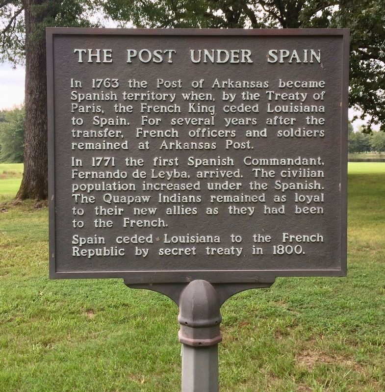
1. The Post under Spain Marker
In 1763 the Post of Arkansas became Spanish territory when, by the Treaty of Paris, the French King ceded Louisiana to Spain. For several years after the transfer, French officers and soldiers remained at Arkansas Post.
In 1771 the first Spanish Commandant, Fernando de Leyba, arrived. The civilian population increased under the Spanish. The Quapaw Indians remained as loyal to their new allies as they had been to the French.
Spain ceded Louisiana to the French Republic by secret treaty in 1800.
Erected by National Park Service, U.S. Department of the Interior.
Topics. This historical marker is listed in these topic lists: Colonial Era • Indigenous Peoples and Communities • Notable Places • Settlements & Settlers. A significant historical year for this entry is 1763.
Location. 34° 1.045′ N, 91° 20.863′ W. Marker is in Arkansas Post, Arkansas, in Arkansas County. It can be reached from Old Post Road 0.7 miles south of State Route 169. Touch for map. Marker is at or near this postal address: 1741 Old Post Road, Gillett AR 72055, United States of America. Touch for directions.

Regionally,
this page online
Other nearby markers. At least 8 other markers are within walking distance of this marker: The French Period (here, next to this marker); Stone from Ruins of Old Bank (within shouting distance of this marker); The European Settlement (within shouting distance of this marker); Republican France (within shouting distance of this marker); The Post of Arkansas (about 300 feet away, measured in a direct line); The American Era (about 400 feet away); Edge of Empires (approx. 0.2 miles away); The Colbert Raid (approx. 0.2 miles away). Touch for a list and map of all markers in Arkansas Post.
Also see . . . Wikipedia article on Arkansas Post.
Photographed by Mark Hilton, August 26, 2017
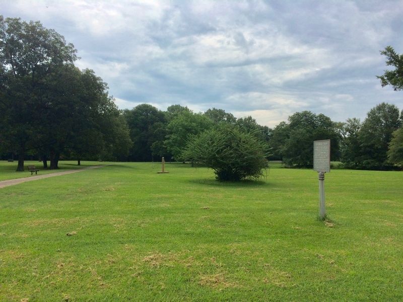
2. The Post under Spain Marker, on right, looking east.
Photographed by Mark Hilton, August 26, 2017
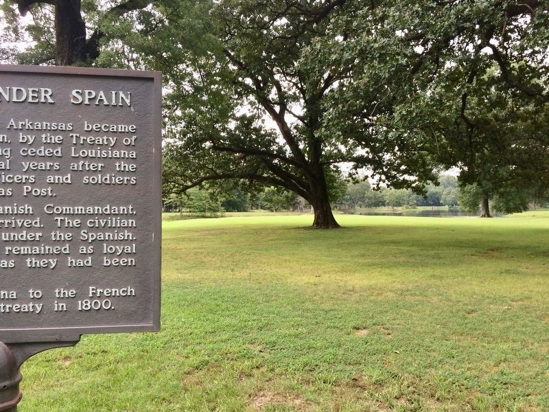
3. View from marker looking south towards Park Lake.
Credits. This page was last revised on August 31, 2020. It was originally submitted on September 20, 2017, by Mark Hilton of Montgomery, Alabama. This page has been viewed 764 times since then and 62 times this year. Photos: 1, 2, 3. submitted on September 20, 2017, by Mark Hilton of Montgomery, Alabama.
