First Landing
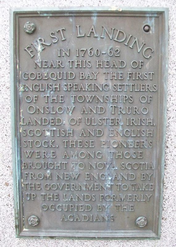
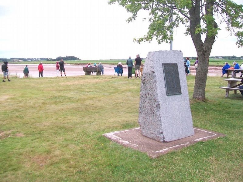
In 1760-62 near this Head of Cobequid Bay the first English speaking settlers of the Townships of Onslow and Truro landed. Of Ulster Irish, Scottish and English stock, these pioneers were among those brought to Nova Scotia from New England by the government to take up the lands formerly occupied by the Acadians.
Topics and series. This historical marker is listed in these topic lists: Colonial Era • Settlements & Settlers • Waterways & Vessels. In addition, it is included in the Acadian History series list.
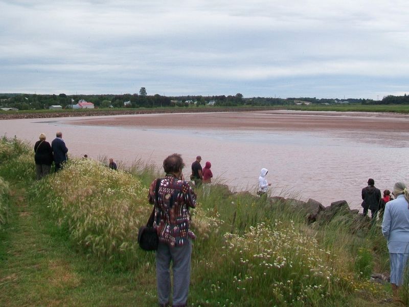
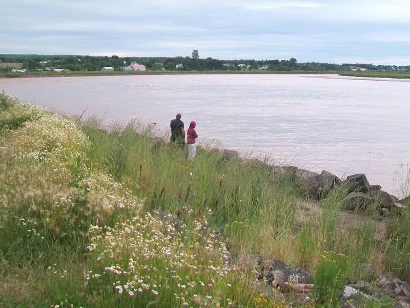
Location. 45° 22.29′ N, 63° 19.331′ W. Marker is in Lower Truro, Nova Scotia, in Colchester County. Marker is on Tidal Bore Road, 0.6 kilometers north of Glooscap Trail (Nova Scotia Route 236), on the left when traveling north. Marker is on the grounds of the Truro Tidal Bore Viewing Visitor Centre. Touch for map. Marker is at or near this postal address: 103 Tidal Bore Road, Lower Truro NS B6L 1T9, Canada. Touch for directions.
Other nearby markers. At least 7 other markers are within 8 kilometers of this marker, measured as the crow flies. The Lumber Jack, circa 1900 (approx. 3.3 kilometers away); Truro Post Office / Le Bureau de Poste de Truro (approx. 3.3 kilometers away); First Presbyterian/United Church (approx. 3.4 kilometers away); Centennial of Presbyterian Church Formation in Canada
Credits. This page was last revised on September 27, 2017. It was originally submitted on September 27, 2017, by William Fischer, Jr. of Scranton, Pennsylvania. This page has been viewed 272 times since then and 20 times this year. Photos: 1, 2, 3, 4. submitted on September 27, 2017, by William Fischer, Jr. of Scranton, Pennsylvania.


