Dominion Land Company Mound An Early Woodlands Period Structure/Sunwall and Moonwall Murals
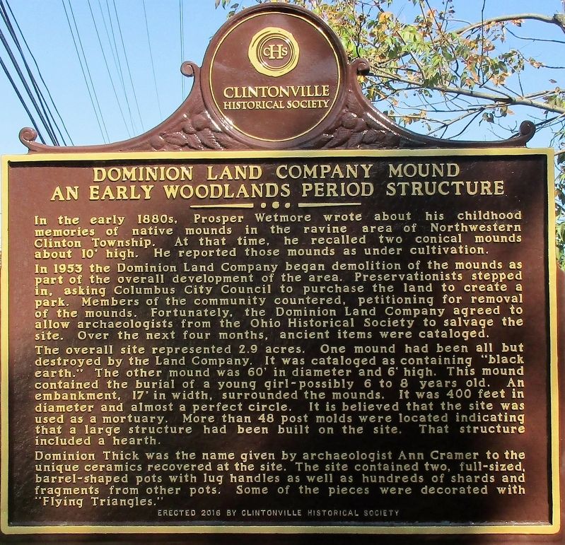
Dominion Land Company Mound An Early Woodlands Period Structure
In the early 1800s, Prosper Wetmore wrote about his childhood memories of native mounds in the ravine area of Northwestern Clinton Township. At that time, he recalled two conical mounds about 10’ high. He reported these mounds as under cultivation. In 1953 the Dominion Land Company began demolition of the mounds as part of the overall development of the area. Preservationists stepped in, asking Columbus City Council to purchase the land to create a park. Members of the community countered, petitioning for removal of the mounds. Fortunately, the Dominion Land Company agreed to allow archaeologists from the Ohio Historical Society to salvage the site. Over the next four months, ancient items were cataloged. The overall site represented 2.9 acres. One mound had been all but destroyed by the Land Company. It was cataloged as containing “black earth.” The other mound was 60” in diameter and 6’ high. This mound contained the burial of a young girl- possibly 6 to 8 years old. An embankment, 17’ in width, surrounded the mounds.
this page online
Dominion Thick was the name given by archaeologist Ann Cramer to the unique ceramics recovered at the site. The site contained two, full- sized, barrel- shaped pots with lug handles as well as hundreds of shards and fragments from other pots. Some of the pieces were decorated with “Flying Triangles.”
Sunwall and Moonwall Murals
In July of 2014, artist Danielle Poling created the Sunwall and
Moonwall murals on the railroad overpass at Cooke Road. These
large scale works of art were designed to pay tribute to the early
Americans. The walls use native symbols and cave paintings tech-
niques to remind current residents and visitors of those who lived
here before us.
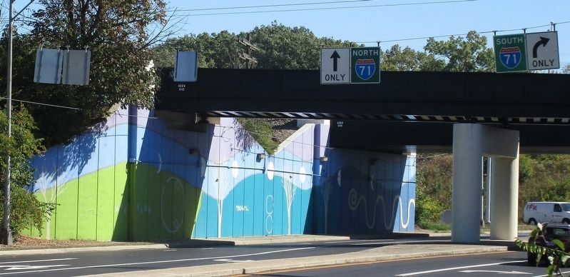
The Moonwall was created using blues and greens. The trees depicted here are barren connecting to the winter or end of life cycle. The wall features the phases of the moon as well as the outlines of
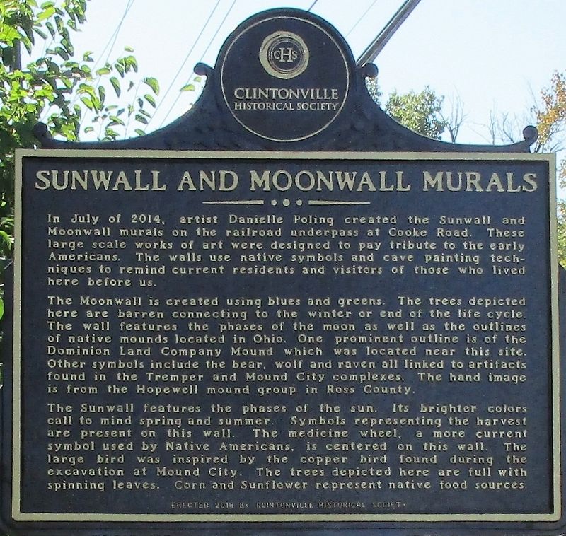
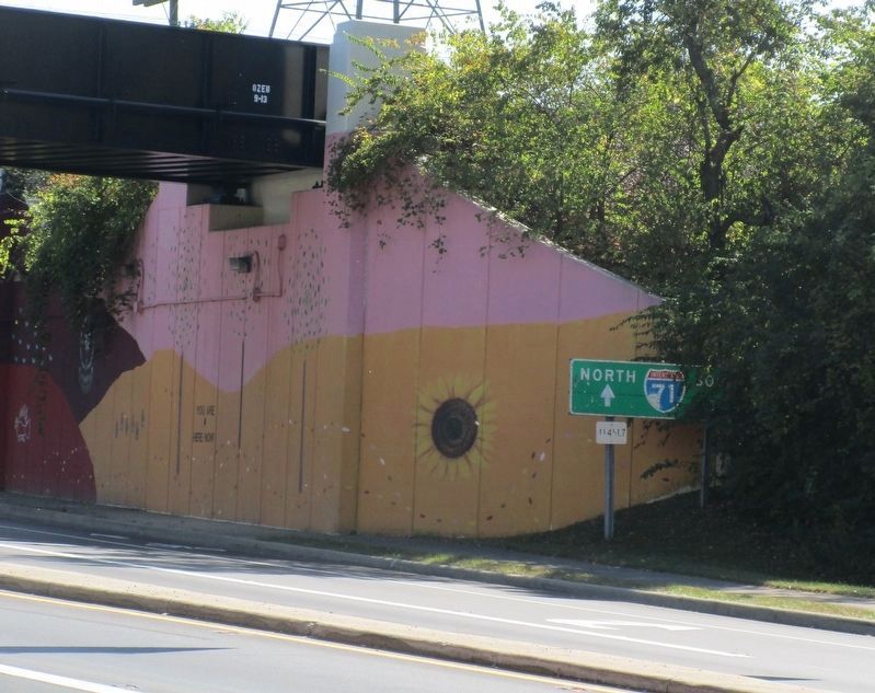
The Sunwall features the phases of the sun. Its brighter colors
call to mind spring and summer. Symbols representing harvest
are present on the wall. The medicine wheel, a more current
symbol used by Native Americans, is centered on this wall. The
large bird was inspired by the copper bird found during the
excavation at Mound City. The trees depicted here are full with
spinning leaves. Corn and Sunflowers represent native food sources.
Erected 2016 by Clintonville Historical Society.
Topics. This historical marker is listed in these topic lists: Anthropology & Archaeology • Arts, Letters, Music • Indigenous Peoples and Communities • Paleontology.
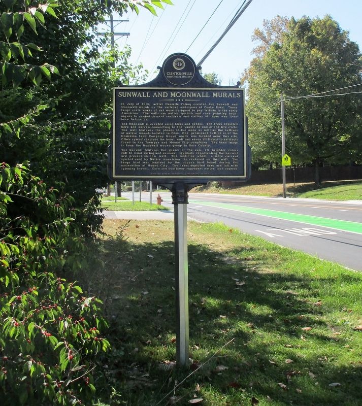
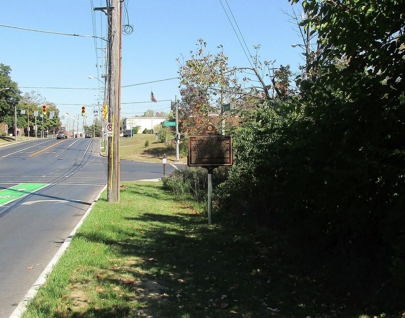
Location. 40° 2.786′ N, 82° 59.986′ W. Marker is in Columbus, Ohio, in Franklin County. It is in Indian Springs.

Regionally, this marker is in Ohio’s Scioto Valley. It is also in the American Midwest and in the Corn Belt. Globally, it is in North America, the Western Hemisphere, the Western World, and the Anglosphere. Historically, it finds itself in what was once the Haudenosaunee (Iroquois) Confederacy, the territory of the Mississippian Culture, and the Northwest Territory.
Other nearby markers. At least 8 other markers are within 2 miles of this marker, measured as the crow flies: The Charity Newsies (approx. 0.4 miles away); Clintonville Woman's Club / Kiwanis Club of Northern Columbus (approx. 1.1 miles away); Philo Webster and Webster Graveyard (approx. 1.1 miles away); Bill Moose (approx. 1.1 miles away); Rand P. Hollenback (approx. 1.1 miles away); Beechwold / The Cottages (approx. 1.2 miles away); Clinton Township High School / East North Broadway Historic District
Another marker is no longer nearby. East North Broadway Historic District (was approx. 1.3 miles away but has been permanently removed).
Credits. This page was last revised on February 3, 2023. It was originally submitted on October 4, 2017, by Rev. Ronald Irick of West Liberty, Ohio. This page has been viewed 1,847 times since then and 116 times this year. Photos: 1, 2, 3, 4, 5, 6. submitted on October 4, 2017, by Rev. Ronald Irick of West Liberty, Ohio. • Bill Pfingsten was the editor who published this page.
