Buchanan in Henry County, Tennessee — The American South (East South Central)
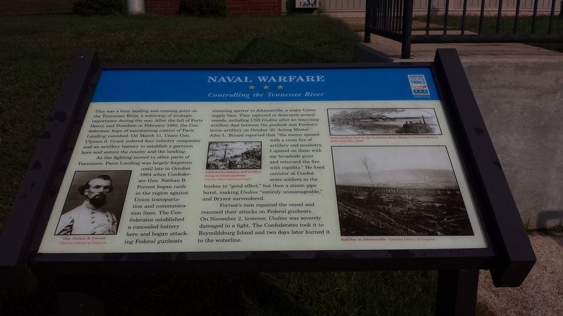
Naval Warfare
Controlling the Tennessee River
As the fighting moved to other parts of Tennessee, Paris Landing was largely forgotten until late in October 1864 when Confederate Gen. Nathan B. Forrest began raids in the region against Union transportation and communications lines. The Confederates established a concealed battery here and began attacking Federal gunboats steaming upriver to Johnsonville, a major Union supply base. They captured or destroyed several vessels, including USS Undine after an hour-long artillery duel between the gunboat and Forrest’s horse artillery on October 30. Acting Master John L. Bryant reported that “the enemy opened with a cross fire of artillery and musketry. I opened on them with my broadside guns and returned the fire with rapidity.” He fired canister at Confederate soldiers in the bushes to “good effect,” but then a steam pipe burst, making Undine “entirely unmanageable,” and Bryant surrendered.
Forrest’s men repaired the vessel and resumed their attacks on Federal gunboats. On November 2, however, Undine was severely damaged in a fight. The Confederates took it to Reynoldsburg Island and two days later burned it to the waterline.
(photo captions)
Gen. Nathan B. Forrest Courtesy Library of Congress
Confederate infantry and artillery firing on Union gunboats Courtesy Naval Historical Center
Union gunboat fleet on the Tennessee River, Harper’s Pictorial History of the Civil War (1896)
Rail Line at Johnsonville – Courtesy Library of Congress
Erected by Tennessee Civil War Trails.
Topics and series. This historical marker is listed in these topic lists: War, US Civil • Waterways & Vessels. In addition, it is included in the Tennessee Civil War Trails series list. A significant historical date for this entry is November 2, 1864.
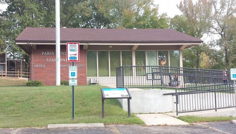
Location. 36° 26.351′ N, 88° 5.003′ W. Marker is in Buchanan, Tennessee, in Henry County. Marker is at the intersection of Austin Peay Memorial Highway (U.S. 79) and Fishing Pier Drive, on the left when traveling west on Austin Peay Memorial Highway. Located at the Paris Landing State Park Visitor Center. Touch for map. Marker is at or near this postal address: 16055 US-79 Scenic, Buchanan TN 38222, United States of America. Touch for directions.
Other nearby markers. At least 8 other markers are within 5 miles of this marker, measured as the crow flies. Forrest at Paris Landing (approx. 0.3 miles away); Prelude to Johnsonville (approx. 0.3 miles away); Scott Fitzhugh Bridge Pavilion (approx. 0.3 miles away); That Devil Forrest (approx. half a mile away); Fort Henry (approx. 4.1 miles away); An Unfinished Fort (approx. 4.4 miles away in Kentucky); Forrest Stages A Raid (approx. 4˝ miles away in Kentucky); Fort Heiman (approx. 4.6 miles away in Kentucky). Touch for a list and map of all markers in Buchanan.
Credits. This page was last revised on October 18, 2017. It was originally submitted on October 17, 2017, by Karen Emerson-McPeak of Triune, Tennessee. This page has been viewed 346 times since then and 16 times this year. Photos: 1, 2. submitted on October 17, 2017, by Karen Emerson-McPeak of Triune, Tennessee. • Bernard Fisher was the editor who published this page.

