Near Pioneer in West Carroll Parish, Louisiana — The American South (West South Central)
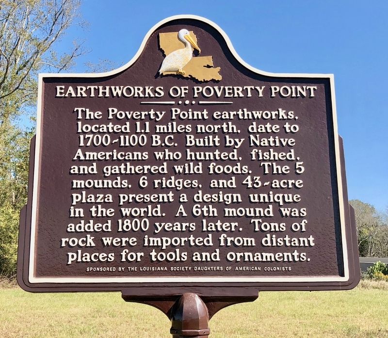
Earthworks of Poverty Point
Erected by Louisiana Society Daughters of American Colonists.
Topics and series. This historical marker is listed in these topic lists: Cemeteries & Burial Sites • Landmarks • Native Americans • Settlements & Settlers. In addition, it is included in the Daughters of the American Colonists series list. A significant historical year for this entry is 1800.
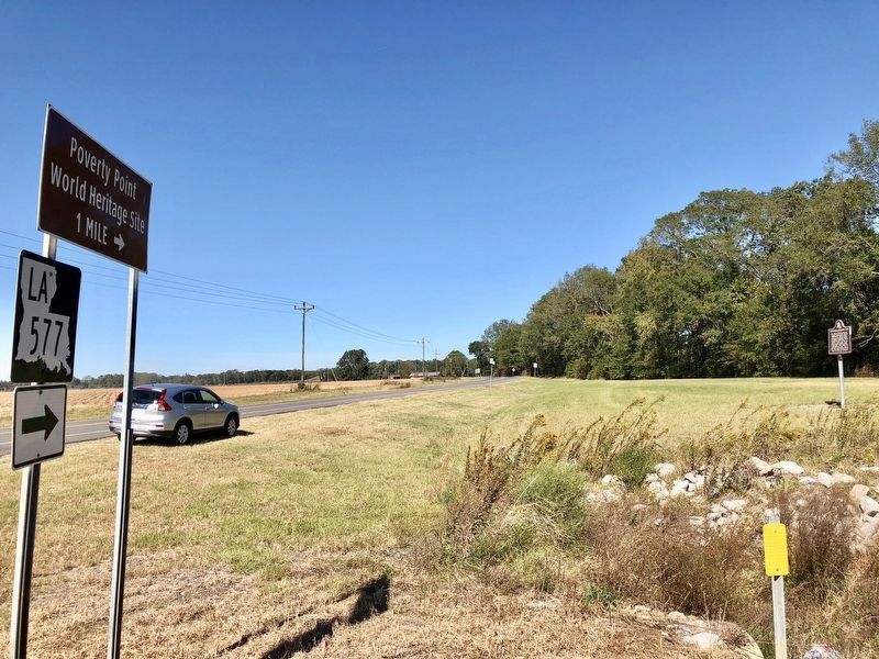
Location. 32° 37.247′ N, 91° 24.383′ W. Marker is near Pioneer, Louisiana, in West Carroll Parish. Marker is at the intersection of Louisiana Route 577 and Louisiana Route 134, on the right when traveling north on State Route 577. Touch for map. Marker is in this post office area: Pioneer LA 71266, United States of America. Touch for directions.
Other nearby markers. At least 8 other markers are within one mile of this marker, measured as the crow flies. Lower Jackson Mound (approx. ¼ mile away); Mound E (approx. 0.9 miles away); Southwest Ridges (approx. one mile away); Mound D (Sarah's Mount) (approx. one mile away); Mound A (approx. one mile away); Mound A Apex (approx. one mile away); Poverty Point Earthworks (approx. 1.1 miles away); Poverty Point World Heritage Site (approx. 1.1 miles away). Touch for a list and map of all markers in Pioneer.
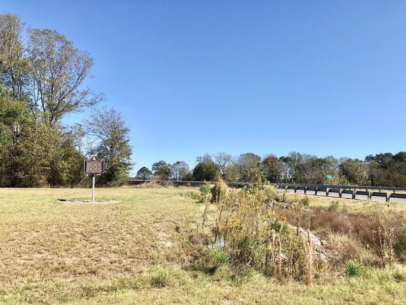
More about this marker. An older marker, titled 'Poverty Point' was previous located in this area. An old metal bridge, across Bayou Macon, was removed and a new concrete bridge installed changing the landscape of the area.
Also see . . . Poverty Point World Heritage Site website. (Submitted on October 25, 2017, by Mark Hilton of Montgomery, Alabama.)
Credits. This page was last revised on October 25, 2017. It was originally submitted on October 25, 2017, by Mark Hilton of Montgomery, Alabama. This page has been viewed 276 times since then and 16 times this year. Photos: 1, 2, 3. submitted on October 25, 2017, by Mark Hilton of Montgomery, Alabama.


