Wetland Resources
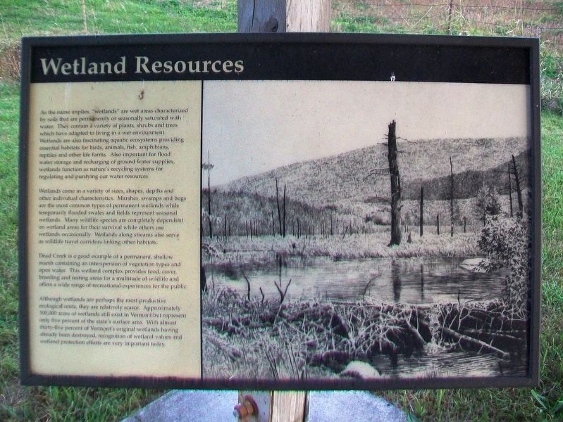
As the name implies, "wetlands" are wet areas characterized by soils that are permanently or seasonally saturated with water. They contain a variety of plants, shrubs and trees which have adapted to living in a wet environment. Wetlands are also fascinating aquatic ecosystems providing essential habitats for birds, animals, fish, amphibians, reptiles and other life forms. Also important for flood water storage and recharging of ground water supplies, wetlands function as nature's recycling systems for regulating and purifying our water resources.
Wetlands come in a variety of sizes, shapes, depths and other individual characteristics. Marshes, swamps and bogs are the most common types of permanent wetlands while temporarily flooded swales and fields represent seasonal wetlands. Many wildlife species are completely dependent on wetland areas for their survival while others use wetlands occasionally. Wetlands along streams also serve as wildlife travel corridors linking other habitats.
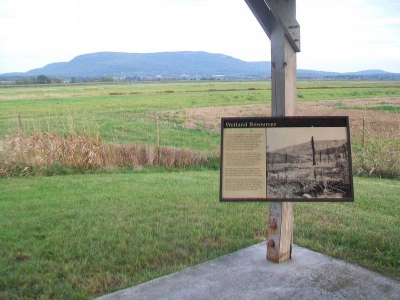
Dead Creek is a good example of a permanent, shallow marsh containing an interspersion of vegetation types and open water. This wetland complex provided food, cover, breeding and resting areas for a multitude of wildlife and offers a wide range of recreational experiences for the public.
Although wetlands are perhaps the most productive ecological
units, they are relatively scarce. Approximately 300,000 acres of wetlands still exist in Vermont but represent only five percent of the state's surface area. With almost thirty-five percent of Vermont's original wetlands having already been destroyed, recognition of wetland values and wetland protection efforts are very important today.Erected by Vermont Fish & Wildlife Department.
Topics. This historical marker is listed in these topic lists: Animals • Environment • Waterways & Vessels.
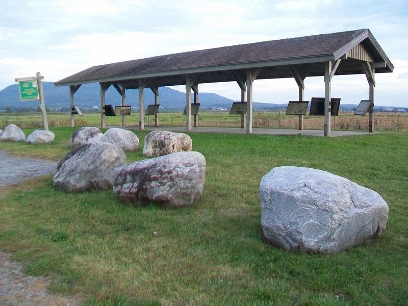
Location. 44° 5.115′ N, 73° 20.207′ W. Marker is near Addison, Vermont, in Addison County. Marker is on Vermont Route 17W, 1.7 miles west of Vermont Route 22A, on the left when traveling west. Markers are under a shelter at the roadside wildlife viewing area. Touch for map. Marker is at or near this postal address: 2015 Vermont Route 17W, Vergennes VT 05491, United States of America. Touch for directions.
Other nearby markers. At least 8 other markers are within 6 miles of this marker, measured as the crow flies. Snow Geese (here, next to this marker); The Dead Creek Wildlife Management Area (here, next to this marker); Canada Geese (here, next to this marker); War Memorial (approx. 1.7 miles away); Benedict Arnold (approx. 4.1 miles away); DAR John Strong Mansion (approx. 4.3 miles away); Northern Terminal of the Crown Point Military Road (approx. 5.3 miles away); Chimney Point (approx. 5.4 miles away). Touch for a list and map of all markers in Addison.
Regarding Wetland Resources. Marker provides limited historical information on Vermont's wetlands.
Also see . . .
1. Ecology of Wetland Ecosystems. (Submitted on October 26, 2017, by William Fischer, Jr. of Scranton, Pennsylvania.)
2. Why are wetlands important?. (Submitted on October 26, 2017, by William Fischer, Jr. of Scranton, Pennsylvania.)
Credits. This page was last revised on February 17, 2024. It was originally submitted on October 26, 2017, by William Fischer, Jr. of Scranton, Pennsylvania. This page has been viewed 224 times since then and 11 times this year. Photos: 1, 2, 3, 4. submitted on October 26, 2017, by William Fischer, Jr. of Scranton, Pennsylvania.


