Near Epps in West Carroll Parish, Louisiana — The American South (West South Central)
Lower Jackson Mound
Ancient Mounds Trail
Photographed by Mark Hilton, October 25, 2017
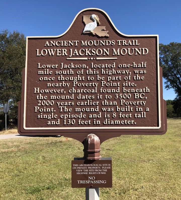
1. Lower Jackson Mound Marker
Lower Jackson, located one-half mile south of this highway, was once thought to be part of the nearby Poverty Point site. However, charcoal found beneath the mound dates it to 3500 BC, 2000 years earlier than Poverty Point. The mound was built in a single episode and is 8 feet tall and 130 feet in diameter.
This archaeological site is on private property. Please view the site from the highway right-of-way.
No Trespassing
Erected by the State of Louisiana.
Topics and series. This historical marker is listed in these topic lists: Anthropology & Archaeology • Indigenous Peoples and Communities. In addition, it is included in the Louisiana Ancient Mounds Trail series list.
Location. 32° 37.147′ N, 91° 24.628′ W. Marker is near Epps, Louisiana, in West Carroll Parish. It is at the intersection of Louisiana Route 134 and Walnut Grove Lane, on the right when traveling east on Louisiana Route 134. Touch for map. Marker is in this post office area: Epps LA 71237, United States of America. Touch for directions.

Regionally, this marker is in North
this page online
Other nearby markers. At least 8 other markers are within 2 miles of this marker, measured as the crow flies: Earthworks of Poverty Point (approx. ¼ mile away); Mound E (approx. 0.9 miles away); Southwest Ridges (approx. 1.1 miles away); Mound A Apex (approx. 1.1 miles away); Mound A (approx. 1.1 miles away); Mound D (Sarah's Mount) (approx. 1.2 miles away); Poverty Point Earthworks (approx. 1.2 miles away); a different marker also named Poverty Point Earthworks (approx. 1.2 miles away).
Also see . . . Indian Mounds of Northeast Louisiana - Lower Jackson Mounds. (Submitted on October 27, 2017, by Mark Hilton of Montgomery, Alabama.)
Photographed by Mark Hilton, October 25, 2017
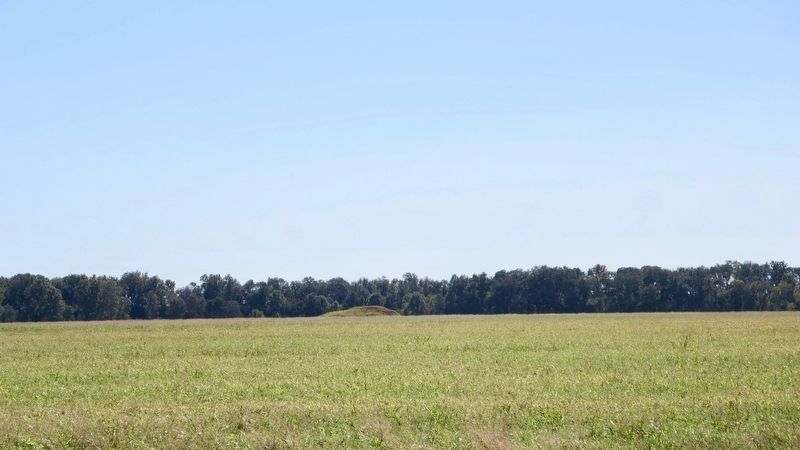
2. Lower Jackson Mound can be seen in far distance.
Photographed by Mark Hilton, October 25, 2017
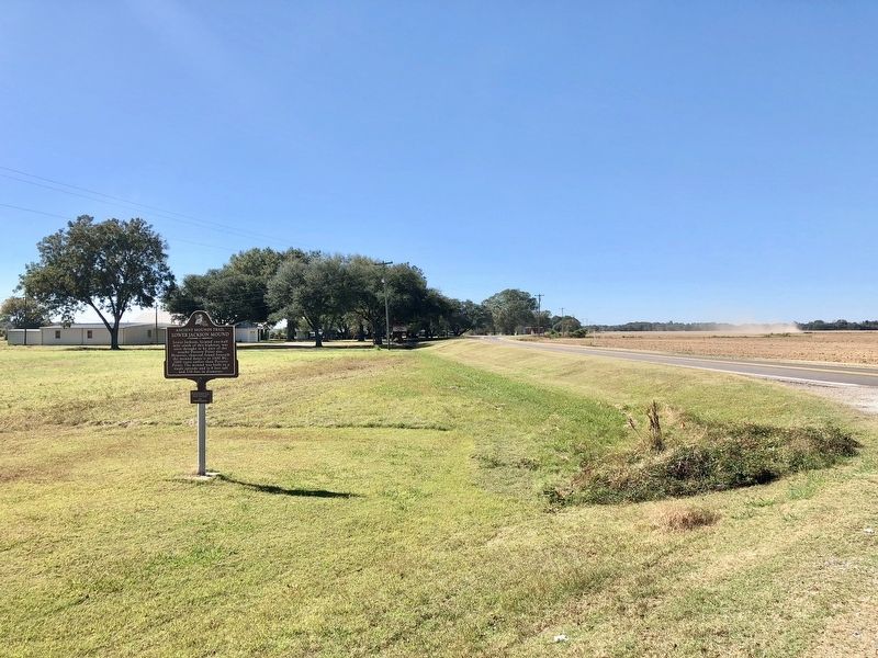
3. view of marker looking west towards town of Epps.
Photographed by Mark Hilton, October 25, 2017
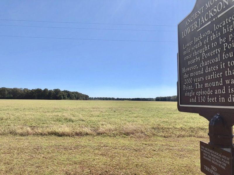
4. Marker with mound in distance.
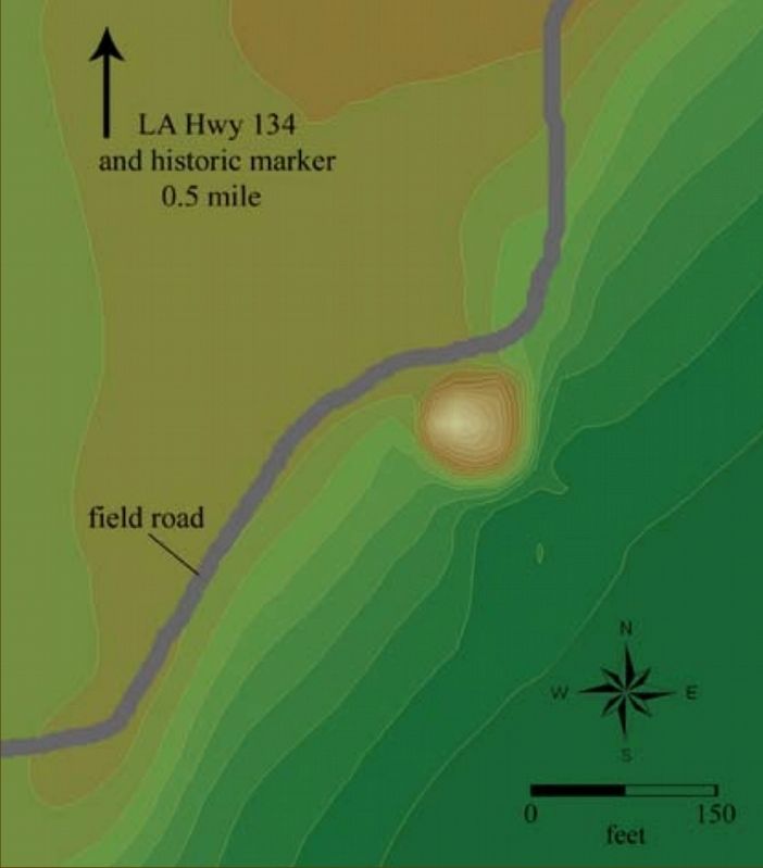
Photographed by State of Louisiana
5. Lower Jackson Mound map
Credits. This page was last revised on September 23, 2020. It was originally submitted on October 27, 2017, by Mark Hilton of Montgomery, Alabama. This page has been viewed 3,801 times since then and 193 times this year. Photos: 1, 2, 3, 4, 5. submitted on October 27, 2017, by Mark Hilton of Montgomery, Alabama.
