Near Pioneer in West Carroll Parish, Louisiana — The American South (West South Central)
Southwest Ridges
— Poverty Point Earthworks —
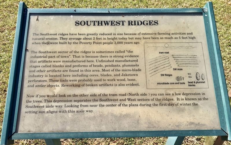
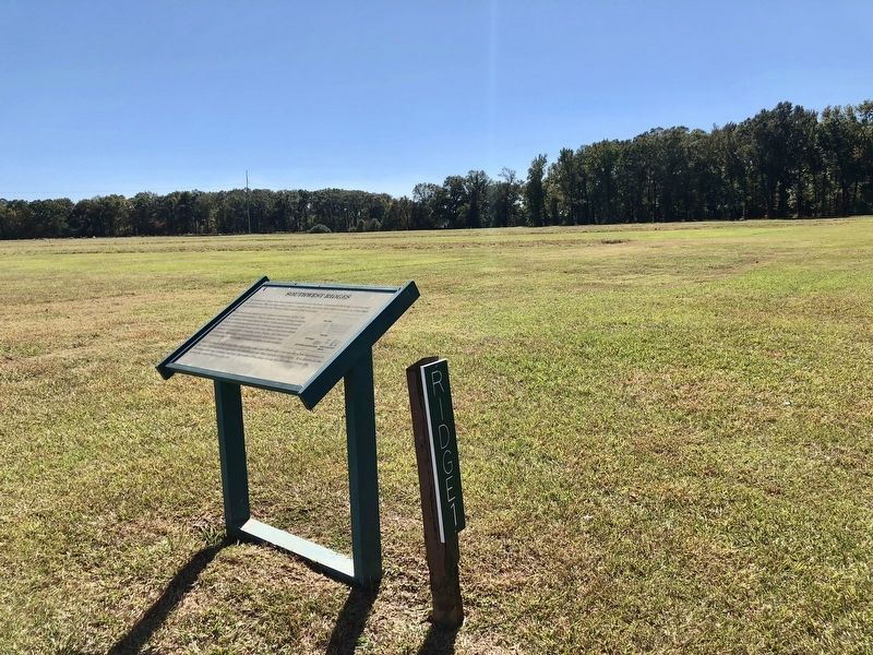
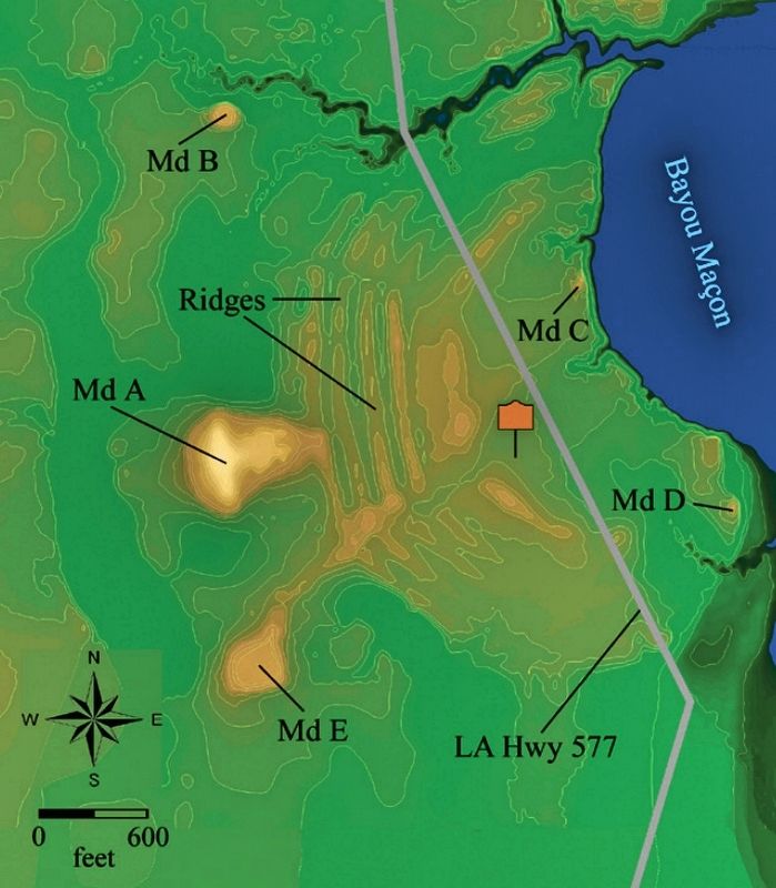
The Southwest ridges have been greatly reduced in size because of extensive farming activities and natural erosion. They average about 2 feet in height today but may have been as much as 5 feet high when they were built by the Poverty Point people 3,000 years ago.
The Southwest sector of the ridges is sometimes called "the industrial part of town". That is because there is strong evidence that artifacts were manufactured here. Unfinished manufactured stages called blanks and preforms of beads, pendants, plummets and other artifacts are found in this area. Most of the micro-blade industry is located here including cores, blades, and Jaketown perforators. These tools were probably used to work wood, bone, and antler objects. Reworking of broken artifacts is also evident.
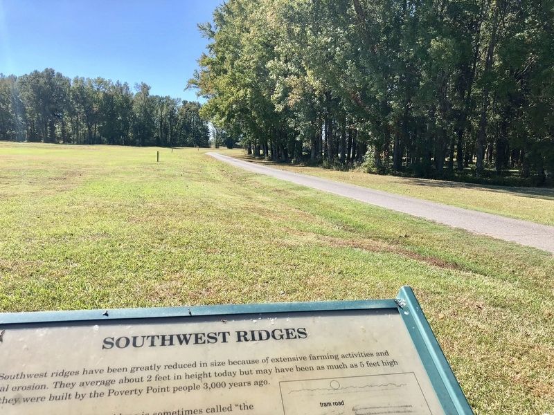
Now if you would look on the other side of the tram road (North side) you can see a low depression in the trees. This depression separates the Southwest and West sectors of the ridges. It is known as the Southwest aisle way. Looking from near the center of the plaza during the first day of winter the setting sun aligns with this aisle way.
Erected by the State of Louisiana.
Topics. This historical marker is listed in these topic lists: Anthropology & Archaeology • Native Americans.
Location. 32° 38.071′ N, 91° 24.365′ W. Marker is near Pioneer, Louisiana, in West Carroll Parish. Marker can be reached from Louisiana Route 577 near Louisiana Route 134. Touch for map. Marker is at or near this postal address: 6859 LA-577, Pioneer LA 71266, United States of America. Touch for directions.
Other nearby markers. At least 8 other markers are within walking distance of this marker. Poverty Point Earthworks (about 700 feet away, measured in a direct line); a different marker also named Poverty Point Earthworks (approx. 0.2 miles away); Poverty Point World Heritage Site (approx. 0.2 miles away); After Poverty Point (approx. 0.2 miles away); Peopling of the Americas (approx. 0.2 miles away); Poverty Point Artifacts (approx. 0.2 miles away); Before Poverty Point (approx. 0.2 miles away); The Natural and Cultural Environment (approx. 0.2 miles away). Touch for a list and map of all markers in Pioneer.
Also see . . . Wikipedia article on Poverty Point. (Submitted on November 1, 2017, by Mark Hilton of Montgomery, Alabama.)
Credits. This page was last revised on September 23, 2020. It was originally submitted on November 1, 2017, by Mark Hilton of Montgomery, Alabama. This page has been viewed 210 times since then and 10 times this year. Photos: 1, 2, 3, 4. submitted on November 1, 2017, by Mark Hilton of Montgomery, Alabama.


