Lewiston in Nez Perce County, Idaho — The American West (Mountains)
John Silcott
Photographed by Cosmos Mariner, June 25, 2013
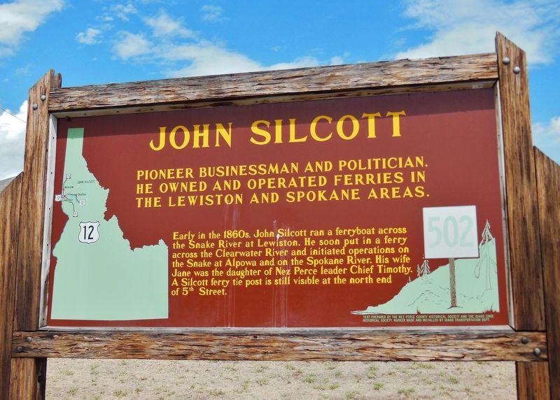
1. John Silcott Marker
Pioneer businessman and politician,
he owned and operated ferries in the Lewiston and Spokane areas.
Early in the 1860’s, John Silcott ran a ferryboat across the Snake River at Lewiston. He soon put in a ferry across the Clearwater River and initiated operations on the Snake at Alpowa and on the Spokane River. His wife Jane was the daughter of Nez Perce leader Chief Timothy. A Silcott ferry tie post is still visible at the north end of 5th Street.
Erected by Nez Perce County Historical Society, Idaho State Historical Society, Idaho Transportation Department. (Marker Number 502.)
Topics and series. This historical marker is listed in these topic lists: Indigenous Peoples and Communities • Industry & Commerce • Settlements & Settlers • Waterways & Vessels. In addition, it is included in the Idaho State Historical Society series list.
Location. 46° 25.477′ N, 117° 1.512′ W. Marker is in Lewiston, Idaho, in Nez Perce County. It is at the intersection of U.S. 12 and 5th Street, on the right when traveling west on U.S. 12. Marker is located adjacent
this page online

Regionally, this marker is in North Idaho — Idaho’s Panhandle and in the Palouse. It is also in the American Mountain West, specifically in the Pacific Northwest, and in the Lewis & Clark Corridor. Globally, it is in North America, the Western Hemisphere, the Western World, and the Anglosphere.
Other nearby markers. At least 8 other markers are within walking distance of this marker: 18th St. Bridge (here, next to this marker); Site of Luna House (approx. 0.2 miles away); Lewis and Clark (approx. ¼ mile away); Means Building (approx. ¼ mile away); Old City Hall (approx. ¼ mile away); Pacific Northwest Bell Building (Historic Name) (approx. ¼ mile away); Tsceminicum (approx. 0.3 miles away); Kettenbach Building (approx. 0.3 miles away). Touch for a list and map of all markers in Lewiston.
More about this marker. Large wooden marker in good condition
Photographed by Cosmos Mariner, June 25, 2013
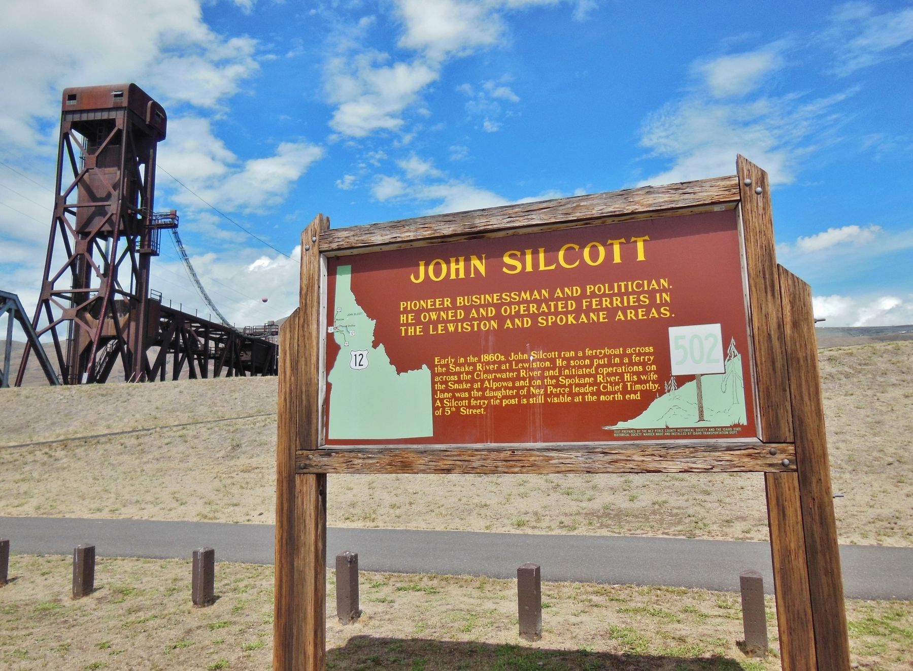
2. John Silcott Marker (wide view with 18th Street Bridge in the background)
Credits. This page was last revised on November 9, 2017. It was originally submitted on November 7, 2017, by Cosmos Mariner of Cape Canaveral, Florida. This page has been viewed 829 times since then and 87 times this year. Photos: 1, 2. submitted on November 7, 2017, by Cosmos Mariner of Cape Canaveral, Florida. • Andrew Ruppenstein was the editor who published this page.
