Near Kamiah in Lewis County, Idaho — The American West (Mountains)
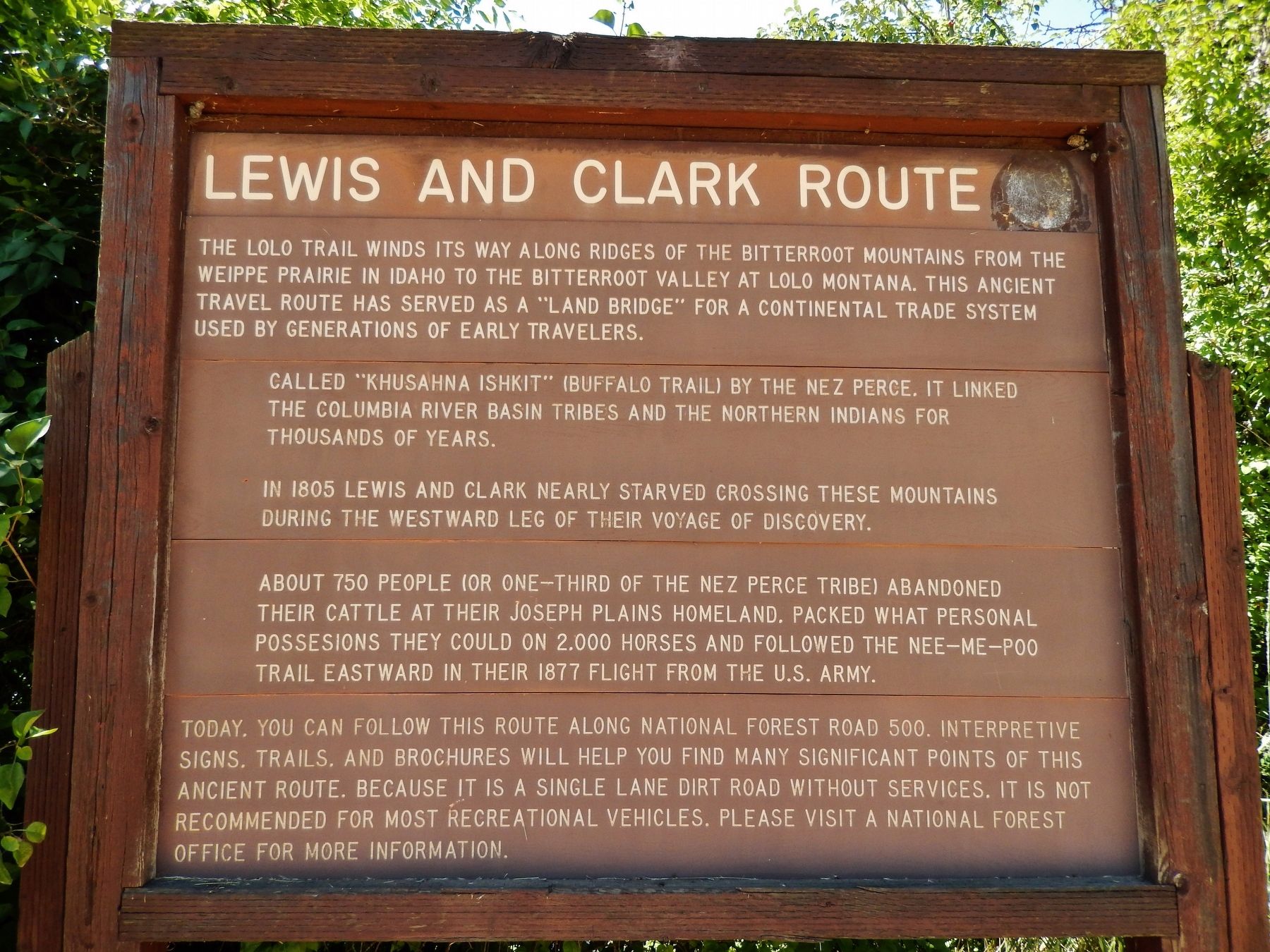
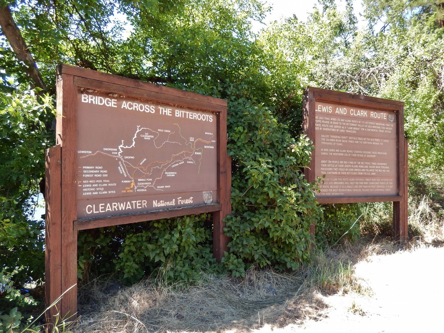
Lewis and Clark Route
Called “Khusahna Ishkit” (Buffalo Trail) by the Nez Perce, it linked the Columbia River Basin tribes and the Northern Indians for thousands of years.
In 1805 Lewis and Clark nearly starved crossing these mountains during the westward leg of their voyage of discovery.
About 750 people (or one-third of the Nez Perce tribe) abandoned their cattle at their Joseph Plains homeland, packed what personal possessions they could on 2,000 horses and followed the Nee-Me-Poo Trail eastward in their 1877 flight from the U.S. Army.
Today, you can follow this route along National Forest Road 500. Interpretive signs, trails, and brochures will help you find many significant points of this ancient route. Because it is a single land dirt road without services, it is not recommended for most recreational vehicles. Please visit a National Forest office for more information.
Erected by U. S. Forest Service.
Topics and series. This historical marker is listed in these topic lists: Exploration • Native Americans • Roads & Vehicles • Wars, US Indian. In addition, it is included in the Lewis & Clark Expedition series list. A significant historical year for this entry is 1805.
Location. 46° 13.357′ N, 116° 0.586′ W. Marker is near Kamiah, Idaho, in Lewis County. Marker is on U.S. 12, half a mile west of Dyche Road, on the left when traveling west. Marker is located in a pull-out on the west side of US Highway 12, overlooking the Clearwater River. Touch for map. Marker is in this post office area: Kamiah ID 83536, United States of America. Touch for directions.
Other nearby markers. At least 8 other markers are within 10 miles of this marker, measured as the crow flies. Long Camp (a few steps from this marker); Asa Smith Mission (a few steps from this marker); Nez Perce National Historical Park (approx. 0.8 miles away); Trails at Heart of the Monster (approx. 0.9 miles away); Kooskia Crossing Kiosk (approx. 5.3 miles away); History of a Frontier Community (approx. 6 miles away); Looking Glass (approx. 6.6 miles away); Camas Prairie (approx. 9.7 miles away). Touch for a list and map of all markers in Kamiah.
More about this marker. Large wooden marker in good condition
Credits. This page was last revised on April 16, 2018. It was originally submitted on November 8, 2017, by Cosmos Mariner of Cape Canaveral, Florida. This page has been viewed 311 times since then and 18 times this year. Photos: 1, 2, 3. submitted on November 8, 2017, by Cosmos Mariner of Cape Canaveral, Florida. • Bill Pfingsten was the editor who published this page.


