Orofino in Clearwater County, Idaho — The American West (Mountains)
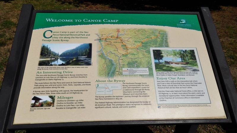
Welcome to Canoe Camp
Photographed by Cosmos Mariner, July 14, 2016
1. Welcome to Canoe Camp Marker
Canoe Camp is part of the Nez Perce National Historical Park and a key site along the Northwest Passage Scenic Byway
An Interesting Drive
The 202-mile Northwest Passage Scenic Byway stretches from Lewiston to Lolo Pass on US Highway 12, and from Kooskia to Grangeville on Idaho Highway 13.
The route follows the Nez Perce and Lewis & Clark National Historic Trails along two wild and scenic rivers. Parks, waysides, and kiosks provide information along the way.
A byway spur links Spalding with Lapwai, the headquarters for the Nez Perce Tribe, three miles south on US Highway 95.
Mileages
Orofino to Lewiston – 43 miles
Orofino to Kooskia – 30 miles
Orofino to Lolo Pass – 130 miles
Kooskia to Grangeville – 26 miles
Topics. This historical marker is listed in these topic lists: Exploration • Indigenous Peoples and Communities • Waterways & Vessels.
Location. 46° 30.055′ N, 116° 19.876′ W. Marker is in Orofino, Idaho, in Clearwater County. It can be reached from the intersection of U.S. 12 and 140th Street, on the right when traveling west.
this page online

Regionally, this marker is in North Idaho — Idaho’s Panhandle. It is also in the American Mountain West, specifically in the Pacific Northwest, and in the Lewis & Clark Corridor. Globally, it is in North America, the Western Hemisphere, the Western World, and the Anglosphere.
Other nearby markers. At least 8 other markers are within walking distance of this marker: Orofino: A Fine Place (here, next to this marker); Canoe Camp (a few steps from this marker); Pit House Village (within shouting distance of this marker); 1804-1806 Corps of Discovery (within shouting distance of this marker); Ahsakha Village Site (about 300 feet away, measured in a direct line); Canoe Building Site (about 400 feet away); Navigating the Clearwater (approx. 0.8 miles away); Clearwater River Log Drives (approx. 0.8 miles away). Touch for a list and map of all markers in Orofino.
Also see . . . Lewis and Clark - Canoe Camp State Park.
Photographed by Cosmos Mariner, July 14, 2016
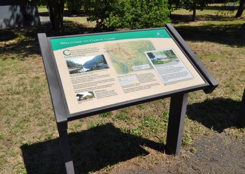
2. Welcome to Canoe Camp Marker (wide view)
These grounds have been inhabited for thousands of years by the Nez Perce people, but are best known as the place where the Lewis and Clark Corps Of Discovery worked with the Nez Perce to carve the canoes that took them to the Pacific Ocean in 1805. (Submitted on November 10, 2017, by Cosmos Mariner of Cape Canaveral, Florida.)
Photographed by Cosmos Mariner, July 14, 2016
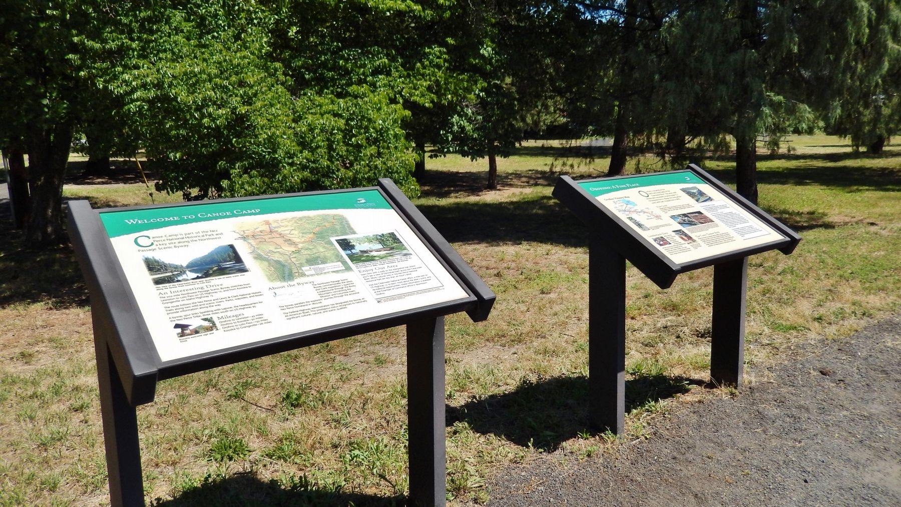
3. Welcome to Canoe Camp Marker (wide view showing adjacent marker)
Credits. This page was last revised on August 2, 2025. It was originally submitted on November 10, 2017, by Cosmos Mariner of Cape Canaveral, Florida. This page has been viewed 667 times since then and 35 times this year. Photos: 1, 2, 3. submitted on November 10, 2017, by Cosmos Mariner of Cape Canaveral, Florida. • Bill Pfingsten was the editor who published this page.
