Near Pioneer in West Carroll Parish, Louisiana — The American South (West South Central)
Poverty Point World Heritage Site
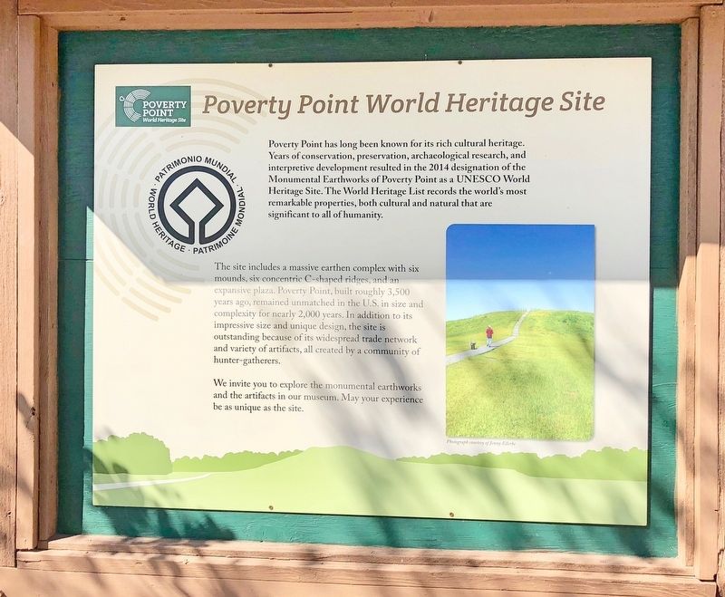
Poverty Point has long been known for its rich cultural heritage. Years of conservation, preservation, archaeological research, and interpretive development resulted in the 2014 designation of the Monumental Earthworks of Poverty Point as a UNESCO World Heritage Site. The World Heritage List records the world's most remarkable properties, both cultural and natural that are significant to all of humanity.
The site includes a massive earthen complex with six mounds, six concentric C-shaped ridges, and an expansive plaza. Poverty Point, built roughly 3,500 years ago, remained unmatched in the U.S. in size and complexity for nearly 2,000 years. In addition to its impressive size and unique design, the site is outstanding because of its widespread trade network and variety of artifacts, all created by a community of hunter-gatherers.
We invite you to explore the monumental earthworks and the artifacts in our museum. May your experience be as unique as the site.
Topics. This historical marker is listed in these topic lists: Anthropology & Archaeology • Native Americans. A significant historical year for this entry is 2014.
Location. 32° 38.151′ N, 91° 24.218′ W. Marker is near Pioneer, Louisiana, in West Carroll Parish. Marker can be reached from Louisiana Route 577, 1.2 miles north of Louisiana Route 134. Located near the Poverty Point Heritage Site Museum. Touch for map. Marker is at or near this postal address: 6859 LA-577, Pioneer LA 71266, United States of America. Touch for directions.
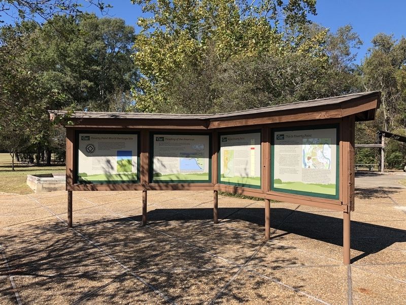
Other nearby markers. At least 8 other markers are within walking distance of this marker. Peopling of the Americas (here, next to this marker); After Poverty Point (here, next to this marker); Poverty Point Artifacts (here, next to this marker); Before Poverty Point (here, next to this marker); The Natural and Cultural Environment (here, next to this marker); This is Poverty Point (here, next to this marker); The Poverty Point Landscape (here, next to this marker); Poverty Point Earthworks (a few steps from this marker). Touch for a list and map of all markers in Pioneer.
Also see . . . Poverty Point World Heritage Site website. (Submitted on November 16, 2017, by Mark Hilton of Montgomery, Alabama.)
Credits. This page was last revised on September 23, 2020. It was originally submitted on November 16, 2017, by Mark Hilton of Montgomery, Alabama. This page has been viewed 293 times since then and 18 times this year. Photos: 1, 2, 3. submitted on November 16, 2017, by Mark Hilton of Montgomery, Alabama.


