Keauhou in Hawaii County, Hawaii — Hawaiian Island Archipelago (Pacific Ocean)
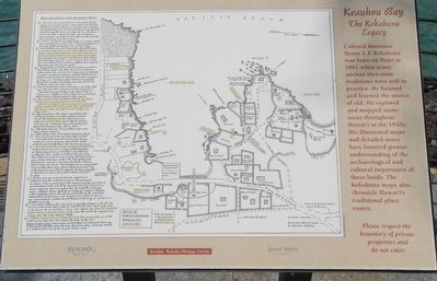
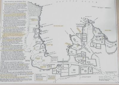
Keauhou Bay
The Kekahuna Legacy
Erected by Keauhou Resort and Hawai'i Tourism.
Topics. This historical marker is listed in these topic lists: Anthropology & Archaeology • Waterways & Vessels. A significant historical year for this entry is 1881.
Location. 19° 33.69′ N, 155° 57.728′ W. Marker is in Keauhou, Hawaii, in Hawaii County. Marker can be reached from Kaleiopapa Street near Ehukai Street, on the left when traveling north. Touch for map. Marker is at or near this postal address: 78-7130 Kaleiopapa Street, Keauhou HI 96739, United States of America. Touch for directions.
Other nearby markers. At least 8 other markers are within walking distance of this marker. Birthplace of Kauikeaouli (within shouting distance of this marker); Kauikeaouli, Kamehameha III (within shouting distance of this marker); Kauikeaouli and Nāhi'ena'ena (within shouting distance of this marker); The Kamehameha Dynasty (within shouting distance of this marker); Royal Center at Keauhou Bay (about 300 feet away, measured in a direct line); Keauhou - Kahalu'u Heritage Corridor (approx. half a mile away); Inikiwai Ku'ula Heiau (approx. 0.7 miles away); Lonoikamakahiki Residence (approx. 0.8 miles away). Touch for a list and map of all markers in Keauhou.
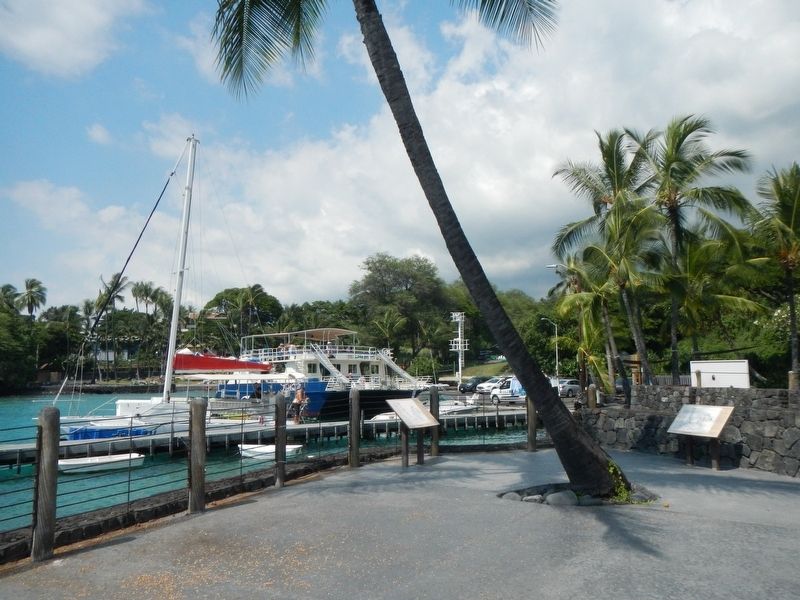
More about this marker. This marker is located near the Keauhou Bay boat dock.
Credits. This page was last revised on November 19, 2017. It was originally submitted on November 19, 2017, by Barry Swackhamer of Brentwood, California. This page has been viewed 394 times since then and 32 times this year. Photos: 1, 2, 3, 4. submitted on November 19, 2017, by Barry Swackhamer of Brentwood, California.


