Bayport in Hernando County, Florida — The American South (South Atlantic)
Bayport in the Civil War/The Battle of Bayport
Inscription.
(side 1)
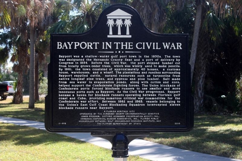
Bayport in the Civil War
Bayport was a shallow-water gulf port town in the 1850s. The town was designated the Hernando County Seat and a port of delivery by Congress in 1854. Before the Civil War, the port shipped lumber cut from locally grown cedar trees, which was widely used to make pencils. By 1861, the town consisted of approximately 40 houses, a customs house, warehouses, and a wharf. The plantations and ranches surrounding Bayport supplied cattle, natural resources such as turpentine from native longleaf pine trees, and cypress and pine lumber. Salt made from sea water in evaporation ponds, along with cotton and corn, helped support the Confederate fighting forces. The Union blockade of Confederate ports forced blockade runners to use smaller and more innocuous ports such as Bayport. As the Civil War progressed, Bayport became a haven for blockade runners operating between Florida’s gulf coast and Cuba, providing numerous critical war commodities for the Confederate war effort. Between 1862 and 1865, vessels belonging to the Union’s East Gulf Coast Blockading Squadron intercepted eleven blockade runners near Bayport.
(side 2)
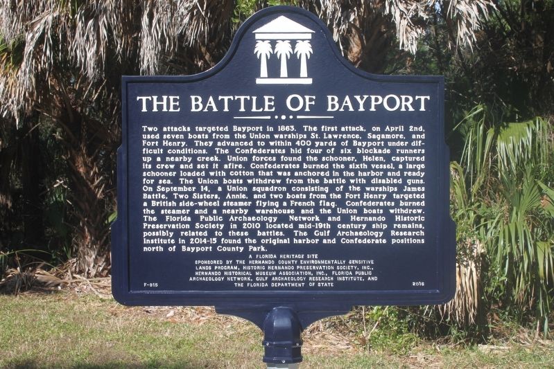
The Battle of Bayport
Two attacks targeted Bayport in 1863. The first attack, on April 2nd, used seven boats from the Union warships St. Lawrence, Sagamore, and Fort Henry. They advanced to within 400 yards of Bayport under difficult conditions. The Confederates hid four of six blockade runners up a nearby creek. Union forces found the schooner, Helen, captured its crew and set it afire. Confederates burned the sixth vessel, a large schooner loaded with cotton that was anchored in the harbor and ready for sea. The Union boats withdrew from the battle with disabled guns. On September 14, a Union squadron consisting of the warships James Battle, Two Sisters, Annie, and two boats from the Fort Henry targeted a British side-wheel steamer flying a French flag. Confederates burned the steamer and a nearby warehouse and the Union boats withdrew. The Florida Public Archaeology Network and Hernando Historic Preservation Society in 2010 located mid-19th century ship remains, possibly related to these battles. The Gulf Archaeology Research Institute in 2014-15 found the original harbor and Confederate positions north of Bayport County Park.
Erected 2016 by The Hernado County Environmentally Sensitive Lands Program, Historic Hernando Preservation Society, Inc., Hernando Historical Museum Association, Inc., Florida Public Archaeology Network, Gulf Archaeology Research Institute, and the Florida Department of State. (Marker Number F-915.)
Topics. This historical marker is listed
in these topic lists: War, US Civil • Waterways & Vessels.
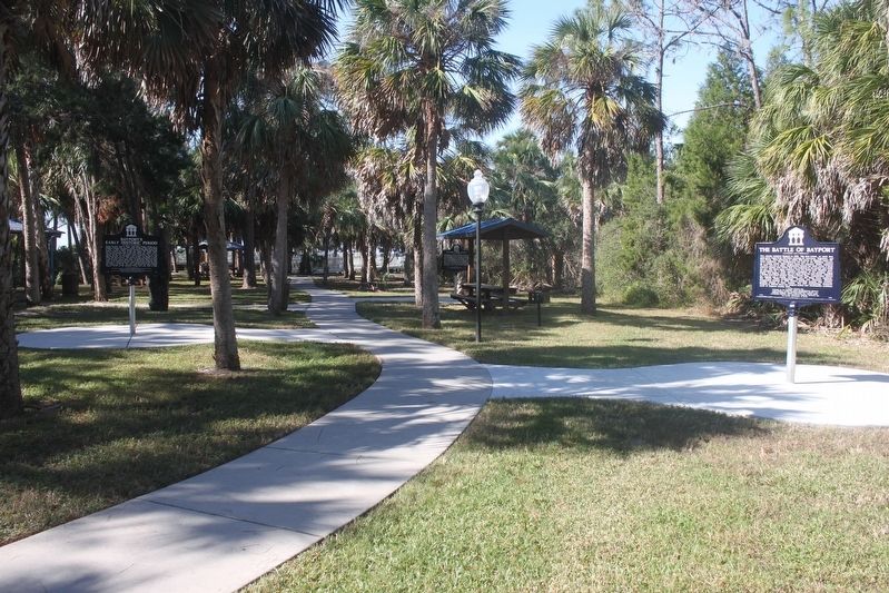
Location. 28° 32.19′ N, 82° 39.082′ W. Marker is in Bayport, Florida, in Hernando County. Marker can be reached from Cortez Boulevard (County Road 550) 1˝ miles south of Pine Island Drive. Marker is in the Bayport Park picnic area near the boat ramp parking lot, at the end of Cortez Blvd, west of Weeki Wachee State Park. Touch for map. Marker is at or near this postal address: 4140 Cortez Blvd, Spring Hill FL 34607, United States of America. Touch for directions.
Other nearby markers. At least 8 other markers are within 13 miles of this marker, measured as the crow flies. The Bayport Area Before Human Occupation/Bayport's First People (within shouting distance of this marker); Bayport's Early Historic Period/Post Civil War Era (within shouting distance of this marker); Bayport (approx. 0.2 miles away); Aripeka Historic District (approx. 7.3 miles away); Town of Centralia (approx. 8 miles away); Veterans Memorial Flag Pole (approx. 9.1 miles away); Hudson Area Veterans Memorial (approx. 12.2 miles away); Hudson Cemetery (approx. 12.2 miles away). Touch for a list and map of all markers in Bayport.
Credits. This page was last revised on November 30, 2017. It was originally submitted on November 22, 2017, by Tim Fillmon of Webster, Florida. This page has been viewed 820 times since then and 88 times this year. Photos: 1, 2, 3. submitted on November 22, 2017, by Tim Fillmon of Webster, Florida. • Bernard Fisher was the editor who published this page.


