All for the View
"A river is more than an amenity, it is a treasure. It offers a necessity of life that must be rationed among those who have power over it."
Justice Oliver Wendell Holmes
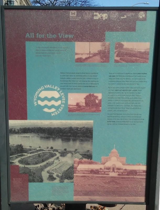
Tethered livestock grazed along the River Common established as public open space by Connecticut settlers in 1769. General Sullivan's soldiers camped along the green riverfront during the Revolutionary War. Timber and coal shipping, boat building and shad fishing made the River Common the focus of Wilkes-Barre economic life. Here, festivals celebrated annual shad runs and presidents made gala appearances.
Views of the magnificent Susquehanna created prime riverfront real estate. Old Wilkes-Barre families built fashionable houses along River Street, enjoying afternoon tea and croquet at the neighboring Wyoming Valley Hotel. Rich and poor strolled along the riverfront, shaded by elm trees planted in 1865.
By the early 1900s, erosion washed away much of the original river bank, weeds and vegetation grew rampant. Private subscription paid to clean up the riverfront. The Park Commission, created in 1906, took over River Common, extending it to South Street and laying out walks, flower gardens, a municipal conservatory that grew flowers for city parks, a tree nursery, tennis courts and park areas that enhanced the new County
Courthouse. Park development northward to the North Street Bridge provided additional gardens, paths and seating areas.The 1936 flood destroyed much of the River Common and Horticultural Building, remnants of which survived several decades. In the 1940s the US Army Corps of Engineers built an earthen levee, protecting Wilkes-Barre homes and businesses, saying a sad, but necessary farewell to the view.
[Photo captions, from top to bottom, read]
• Looking north along the River Common toward the Market Street Bridge and the Luzerne County Courthouse in the distance, 1910.
• Enjoying a day on the River Common along South River Street, 1910.
• View of River Common from Market Street with North Street Bridge in the background, circa 1910.
• Bird's-eye view of palm house and gardens along North River Street, circa 1915.
• Horticultural building, palm house and greenhouses on the River Common, circa 1915. The [curvilinear?] structure, designed to be architecturally compatible with the courthouse, was part of a public [?] garden for the city's [?] children. [best guess of deteriorated text]
Erected by Luzerne County, Luzerne County Historical Society, Delaware & Lehigh National Heritage Corridor, PA Dept of Environ Protect, American Heritage Rivers, US Army Corps of Engineers.
Topics. This historical
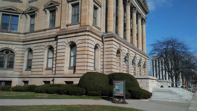
Location. 41° 15.072′ N, 75° 52.731′ W. Marker is in Wilkes-Barre, Pennsylvania, in Luzerne County. Marker is on River Street north of Jackson Street, on the left when traveling north. Marker is on the Luzerne County Courthouse grounds. Touch for map. Marker is at or near this postal address: 200 North River Street, Wilkes Barre PA 18711, United States of America. Touch for directions.
Other nearby markers. At least 8 other markers are within walking distance of this marker. Center of Law, Politics and Power (here, next to this marker); Ellen Webster Palmer (here, next to this marker); Luzerne County (within shouting distance of this marker); U.S.S. Wilkes-Barre (about 300 feet away, measured in a direct line); Korean War Memorial (about 300 feet away); 109th Field Artillery Battalion (about 300 feet away); a different marker also named Ellen Webster Palmer (about 300 feet away); Vietnam Veterans Memorial (about 400 feet away). Touch for a list and map of all markers in Wilkes-Barre.
More about this marker. The fiberglass marker is deteriorating.
Also see . . . River Common Project, Wilkes-Barre PA. (Submitted on November 23, 2017, by William Fischer, Jr. of Scranton, Pennsylvania.)
Credits. This page was last revised on November 23, 2017. It was originally submitted on November 23, 2017, by William Fischer, Jr. of Scranton, Pennsylvania. This page has been viewed 172 times since then and 7 times this year. Photos: 1, 2. submitted on November 23, 2017, by William Fischer, Jr. of Scranton, Pennsylvania.

