Morton in Scott County, Mississippi — The American South (East South Central)
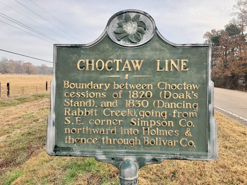
Choctaw Line
Erected 1952 by Mississippi Historical Commission.
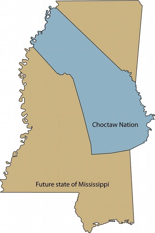
Topics and series. This historical marker is listed in these topic lists: Native Americans • Political Subdivisions • Wars, US Indian. In addition, it is included in the Mississippi State Historical Marker Program series list. A significant historical year for this entry is 1820.
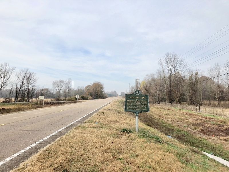
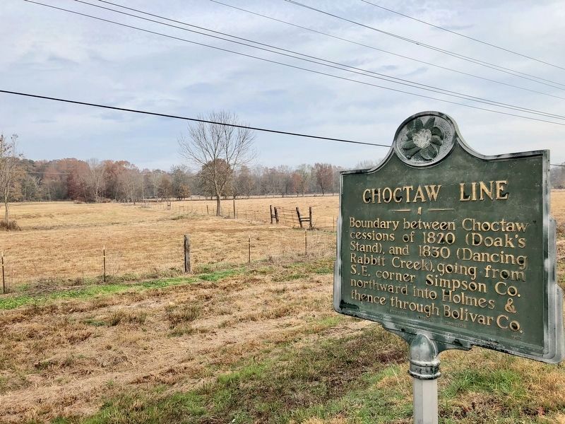
Location. 32° 19.661′ N, 89° 43.476′ W. Marker is in Morton, Mississippi, in Scott County. Marker is on U.S. 80 east of Lindsey Road, on the left when traveling east. Touch for map. Marker is in this post office area: Morton MS 39117, United States of America. Touch for directions.
Other nearby markers. At least 6 other markers are within 10 miles of this marker, measured as the crow flies. The Ueltschey Tannery (approx. 3.4 miles away); Rubin Lacy (approx. 4.4 miles away); Branch School (approx. 7.9 miles away); Centenary College (approx. 8.1 miles away); Shiloh Methodist Campground (approx. 8.9 miles away); Smith County Jamboree (approx. 9˝ miles away).
Related markers. Click here for a list of markers that are related to this marker.
Also see . . .
1. Wikipedia article on Treaty of Doak's Stand. (Submitted on December 4, 2017, by Mark Hilton of Montgomery, Alabama.)
2. Wikipedia article on the Treaty of Dancing Rabbit Creek. (Submitted on December 4, 2017, by Mark Hilton of Montgomery, Alabama.)
Credits. This page was last revised on December 4, 2017. It was originally submitted on December 4, 2017, by Mark Hilton of Montgomery, Alabama. This page has been viewed 378 times since then and 42 times this year. Photos: 1, 2, 3, 4. submitted on December 4, 2017, by Mark Hilton of Montgomery, Alabama.


