Volcano in Hawaii County, Hawaii — Hawaiian Island Archipelago (Pacific Ocean)
Explosive eruptions rock Kīlauea volcano
Photographed by Barry Swackhamer, September 4, 2017
1. Explosive eruptions rock Kīlauea volcano Marker
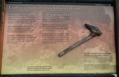
After a series of vengeful acts between the sisters, Hi'iaka retaliated. She stomped furiously and violently clawed her way into the volcano in an attempt to destroy Pele.
The stories carefully chronicle a series of intense earthquakes and explosions that hurled rocks out of the deepening pit. Towering ash clouds turned day into night and lightning pierced the skies.
Ash deposits and carbon dating confirm that the summit of Kīlauea collapsed around 1490. Geologists estimated the initial abyss may have been over 2,000 feet (600 m) deep.
Explosions occurred repeatedly over the next 300 years, culminating in the deadly eruption of 1790 when clouds of ash surged outwards over 2 miles (3.5 km).
In a final expression of volcanic fury, violent explosions flung dense rock from the floor of the caldera up and over the rim.
this page online
In the early 1800s, historian Samuel Kamakau wrote in "Ruling Chiefs of Hawaii" that ... the best stone for the purpose (of carving canoes) was the hokele rock (dense and fine-grained rocks that were blasted out of the caldera) ... and the adze were fashioned at the crater of Pele where hokele rock was to be found ...
In 2001, the park archeologists discovered more than 277 stone working stations were skilled workers labored over hokele found in this area. Craftsmen used smaller stones to make knife blades and drill bits. Larger rocks were sculpted into ko'i (adze), one of the most important tools to the people of pre-contact Hawaii.
Erected by National Park Service, Hawai'i Volcanoes National Park.
Topics. This historical marker is listed in these topic lists: Anthropology & Archaeology • Natural Features • Religion & Religious Structures.
Location. 19° 25.398′ N, 155° 17.052′ W.
Photographed by Barry Swackhamer, September 4, 2017
2. Explosive eruptions rock Kīlauea volcano Marker

Regionally, this marker is in the Volcanic Hawaii. Globally, it is in North America, in Polynesia, in the Pacific Ocean, in North Pacific, on the Pacific Rim, in the Western Hemisphere, in the Western World, and in the Anglosphere.
Other nearby markers. At least 8 other markers are within 2 miles of this marker, measured as the crow flies: Mauna Loa (approx. 0.4 miles away); The "Firepit" of Halema'uma'u (approx. 1.4 miles away); Site of Hawaiian Volcano Observatory (approx. 1.7 miles away); The Volcano House reigns as one of America's great lodges (approx. 1.7 miles away); The 'Ōhi'a Wing will soon be home to the park's collection of artwork and artifacts (approx. 1.8 miles away); Kilauea (approx. 1.8 miles away); Countless are the Accomplishments of Roosevelt's Trusty "Tree Army" (approx. 1.8 miles away); Stephen Tyng Mather (approx. 1.8 miles away). Touch for a list and map
Photographed by Barry Swackhamer, September 4, 2017
3. Kīlauea Caldera
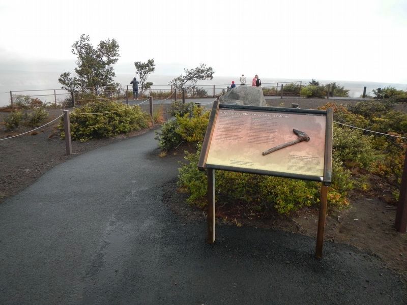
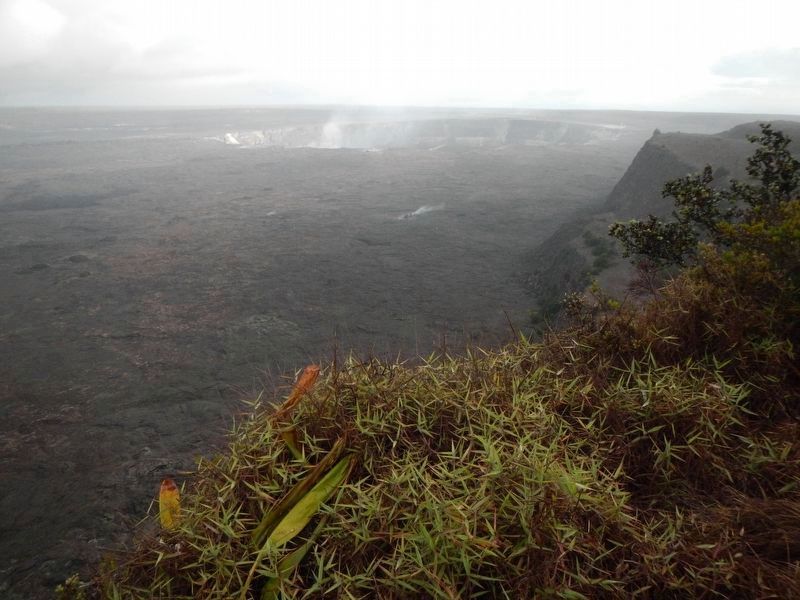
More about this marker. The marker is located at Kīlauea Overlook in Hawai'i Volcanoes National Park.
Credits. This page was last revised on December 15, 2017. It was originally submitted on December 4, 2017, by Barry Swackhamer of Brentwood, California. This page has been viewed 349 times since then and 23 times this year. Photos: 1, 2, 3. submitted on December 4, 2017, by Barry Swackhamer of Brentwood, California.
