Meridian in Lauderdale County, Mississippi — The American South (East South Central)
St. John Baptist Church
Meridian Civil Rights Trail
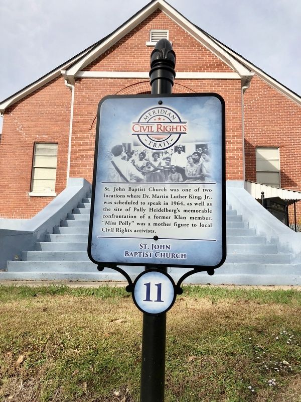
Photographed by Mark Hilton, December 3, 2017
1. St. John Baptist Church Marker
Erected 2014 by the Meridian/Lauderdale County Tourism Bureau. (Marker Number 11.)
Topics and series. This historical marker is listed in these topic lists: African Americans • Civil Rights • Religion & Religious Structures • Women. In addition, it is included in the Meridian, Mississippi Civil Rights Trail series list. A significant historical year for this entry is 1964.
Location. 32° 22.688′ N, 88° 41.84′ W. Marker is in Meridian, Mississippi, in Lauderdale County. It is at the intersection of 20th Street and 18th Avenue, on the right when traveling west on 20th Street. Touch for map. Marker is at or near this postal address: 2000 18th Avenue, Meridian MS 39301, United States of America. Touch for directions.

Regionally, this marker is in East Mississippi. It is also in the American South and specifically in the Deep South. Globally,
this page online
Other nearby markers. At least 8 other markers are within walking distance of this marker: St. Joseph Catholic Church (within shouting distance of this marker); Dr. Jeff Anderson House (approx. ¼ mile away); Lewis Edmund "Buck" Crook, Jr. (approx. 0.3 miles away); Poplar Springs Road Historic District (approx. 0.4 miles away); 10th Avenue Masonic Cemeteries (approx. half a mile away); Gillespie V. "Sonny" Montgomery (approx. 0.6 miles away); Newell Chapel CME (approx. 0.6 miles away); Whitfield "Big Central" High School (approx. 0.6 miles away). Touch for a list and map of all markers in Meridian.
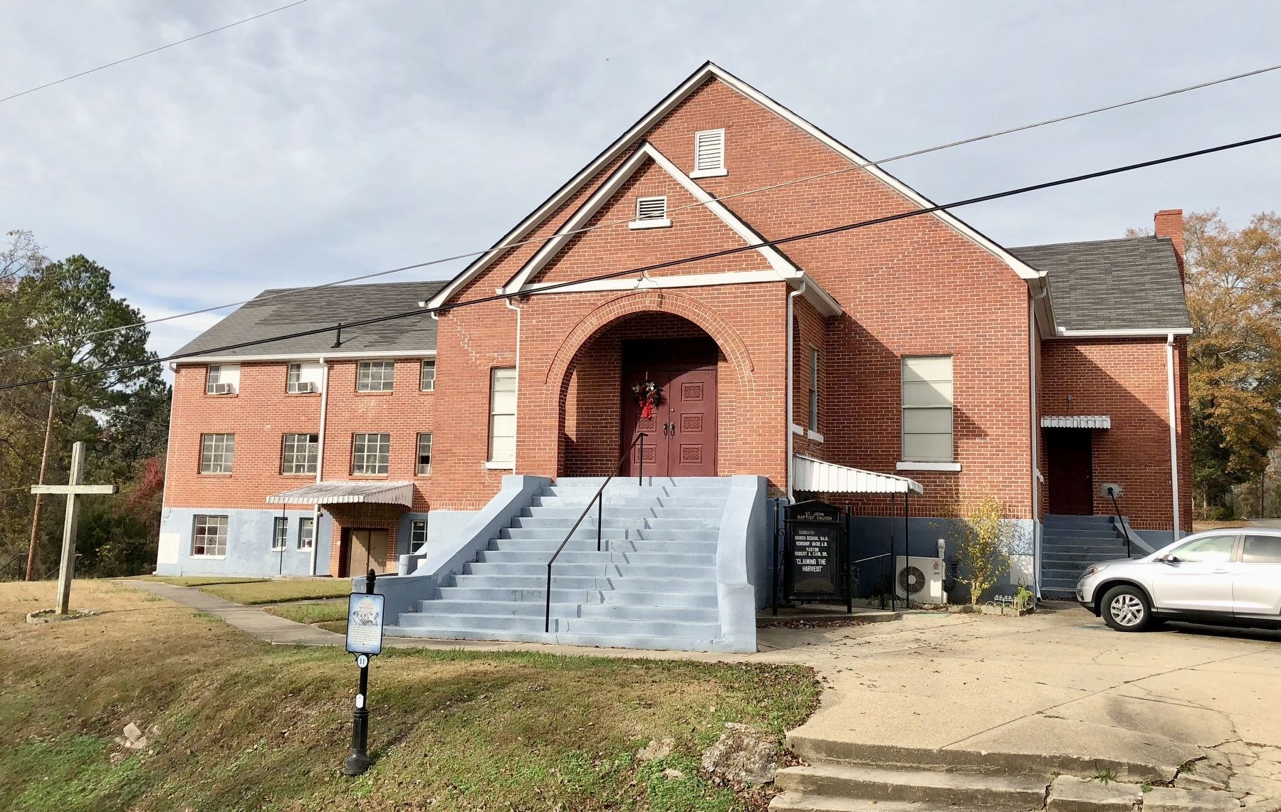
Photographed by Mark Hilton, December 3, 2017
2. St. John Baptist Church
Credits. This page was last revised on October 15, 2020. It was originally submitted on December 5, 2017, by Mark Hilton of Montgomery, Alabama. This page has been viewed 878 times since then and 48 times this year. Photos: 1, 2. submitted on December 5, 2017, by Mark Hilton of Montgomery, Alabama.
