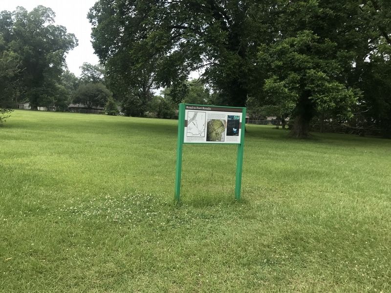
Road to Fort Rosalie

In the early 1700s, a road began here and connected the Grand Village with the French colonial settlement on the Mississippi River bluff near what is now downtown Natchez.
In 1723, French mapmaker Ignace Broutin produced a remarkably detailed map of the Natchez area. Broutin's map shows numerous trails, including the trail from the Grand Village to Fort Rosalie. Some of the present-day Natchez streets follow these ancient foot paths.
Archaeologists examine the buried remains of a Natchez Indian house discovered during a drainage pipe excavation in 1983. The house once stood in this vicinity, beside the road to Fort Rosalie.
Topics. This historical marker is listed in these topic lists: Indigenous Peoples and Communities • Roads & Vehicles.
Location. 31° 31.427′ N, 91° 22.798′ W. Marker is in Natchez, Mississippi, in Adams County. It can be reached from Jeff Davis Boulevard south of South Temple Road, on the right when traveling east. Touch for map. Marker is at or near this postal address: 400 Jeff Davis Boulevard, Natchez MS 39120, United States of America. Touch for directions.
Regionally,
this page online
Other nearby markers. At least 8 other markers are within walking distance of this marker: Historical Archaeology - the Chief's House and Temple (within shouting distance of this marker); Three Archaeological Excavations (within shouting distance of this marker); Historic Plaza (within shouting distance of this marker); Native Structures (within shouting distance of this marker); Historic Use of Ceremonial Mounds (about 300 feet away, measured in a direct line); Conflict with the French (about 300 feet away); Ceremonial Center (about 300 feet away); Abandoned Mound (about 500 feet away). Touch for a list and map of all markers
More about this marker. Located on the grounds of the Grand Village of the Natchez site.
Credits. This page was last revised on June 24, 2024. It was originally submitted on December 5, 2017, by Cajun Scrambler of Assumption, Louisiana. This page has been viewed 637 times since then and 31 times this year. Photos: 1, 2. submitted on December 5, 2017.
