Near Marietta in Cobb County, Georgia — The American South (South Atlantic)
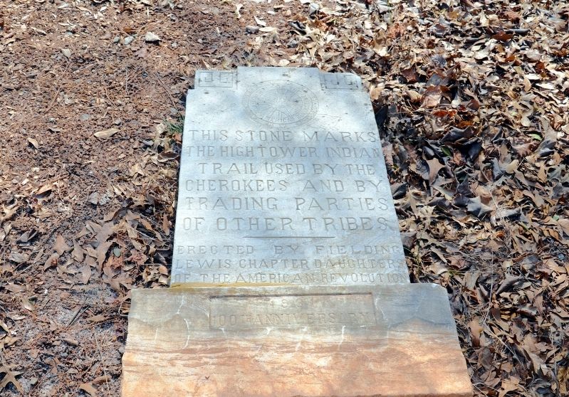
Hightower Indian Trail
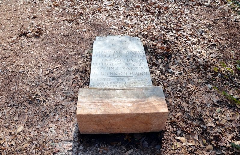
the Hightower Indian
Trail used by the
Cherokees and by
trading parties
of other tribes
(On the base)
1931
100th Anniversary
Erected 1931 by Fielding Lewis Chapter, Daughters of the American Revolution.
Topics and series. This historical marker is listed in these topic lists: Native Americans • Roads & Vehicles. In addition, it is included in the Daughters of the American Revolution series list.
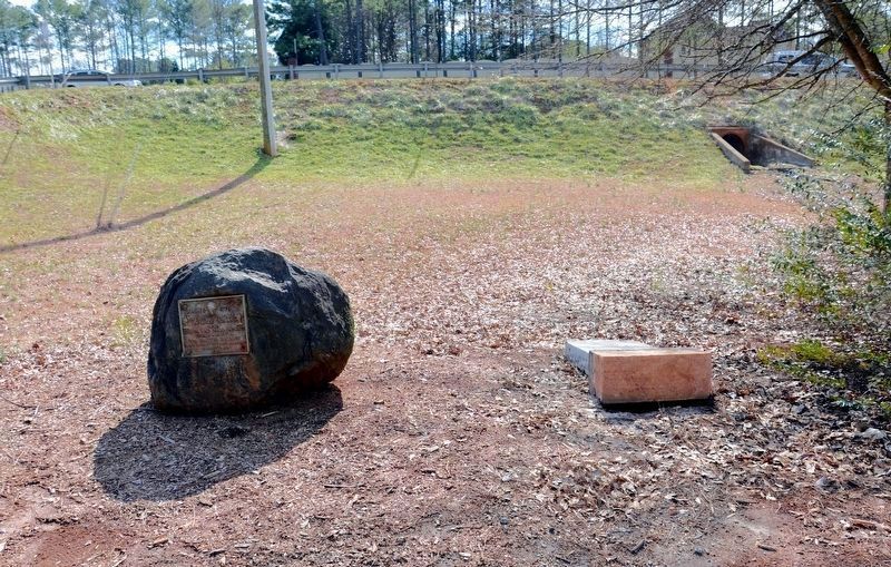
Location. 34° 2.267′ N, 84° 28.1′ W. Marker is near Marietta, Georgia, in Cobb County. Marker is on Shallowford Road, 0.1 miles west of Sandy Plains Road, on the right when traveling west. The marker stands on the left of the entrance drive to Carl Harrison Park. Touch for map. Marker is at or near this postal address: 2653 Shallowford Road, Marietta GA 30066, United States of America. Touch for directions.
Other nearby markers. At least 8 other markers are within 6 miles of this marker, measured as the crow flies. Marks Site (here, next to this marker); Power-Jackson Cabin (approx. 3.4 miles away); Hightower Trail (approx. 3˝ miles away); Marietta Campground (approx. 4˝ miles away); Willeo Baptist Church (approx. 4.7 miles away); Robert McAfee House (approx. 4.9 miles away); Hightower (Etowah) Trail (approx. 5.3 miles away); The Goulding House (approx. 6 miles away). Touch for a list and map of all markers in Marietta.
More about this marker. Since these photos were taken the marker has been returned to its upright position.
Regarding Hightower Indian Trail. "Hightower" is a American settler mispronunciation of the Cherokee word "Ita Wah" or "Etowah."
Credits. This page was last revised on May 28, 2020. It was originally submitted on December 10, 2017, by David Seibert of Sandy Springs, Georgia. This page has been viewed 475 times since then and 22 times this year. Photos: 1, 2, 3. submitted on December 10, 2017, by David Seibert of Sandy Springs, Georgia.


