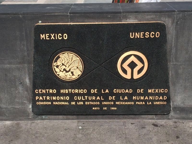
Centro Histórico in Ciudad de México, Mexico — The Valley of Mexico (The Central Highlands)
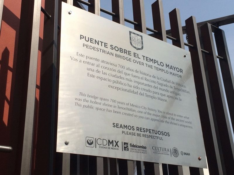
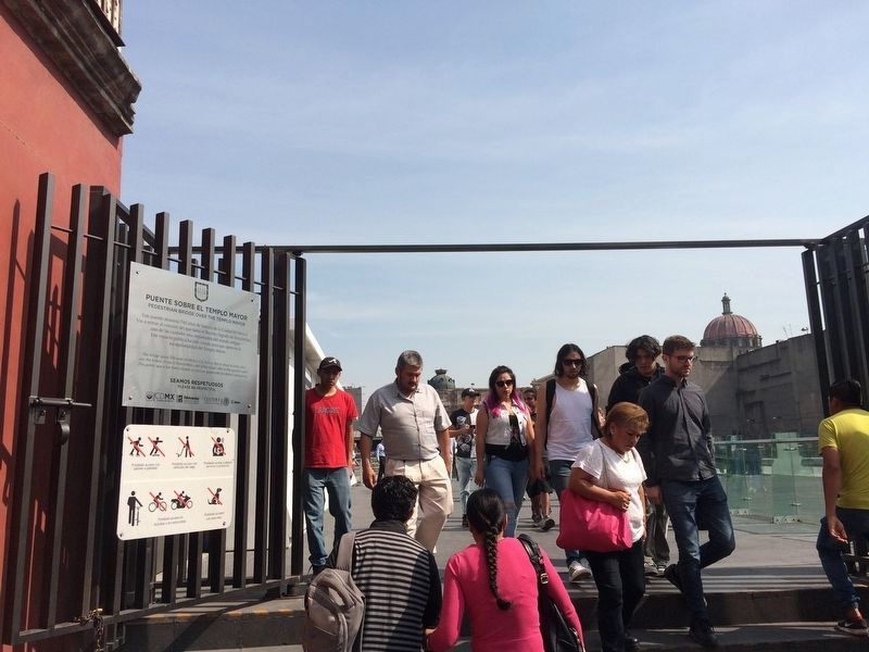
Pedestrian Bridge over the Templo Mayor
Inscription.
Este puente atraviesa 700 años de historia de la Ciudad de México. Vas a entrar al corazón del que fuera el Recinto Sagrado de Tenochitlan, una de las ciudades más importantes del mundo antigio. Este espacio público ha sido creado para que aprecies la excepcionalidad del Templo Mayor.
This bridge spans 700 years of Mexico City history. You're about to enter what was the holiest shrine in Tenochtitlan, one of the major cities of the ancient world. This public space has been created so you can appreciate the shrine's uniqueness.
Seamos respetuosos
Please be respectful
Erected by Instituto Nacional de Arqueología e Historia (INAH).
Topics and series. This historical marker is listed in these topic lists: Anthropology & Archaeology • Architecture • Churches & Religion • Native Americans. In addition, it is included in the UNESCO World Heritage Sites series list.
Location. 19° 26.096′ N, 99° 7.925′ W. Marker is in Ciudad de México. It is in Centro Histórico. Marker is on Calle República de Guatemala just west of Avenida República de Argentina, on the left when traveling east. Touch for map. Marker is in this post office area: Ciudad de México 06000, Mexico. Touch for directions.
Other nearby markers. At least 8 other markers are within walking distance of this marker. The Sacred Tree (a few steps from this marker); The Sacred Precinct of Mexico-Tenochtitlan (a few steps from this marker); The Cuauhxicalco, Place of the Eagle Vessel (a few steps from this marker); What is the Templo Mayor made of? (within shouting distance of this marker); The Templo Mayor and its Seven Construction Stages (within shouting distance of this marker); The City of Tenochtitlan (within shouting distance of this marker); Cuauhtémoc's Last Message (within shouting distance of this marker); Plaza in Front of the Templo Mayor (within shouting distance of this marker). Touch for a list and map of all markers in Ciudad de México.
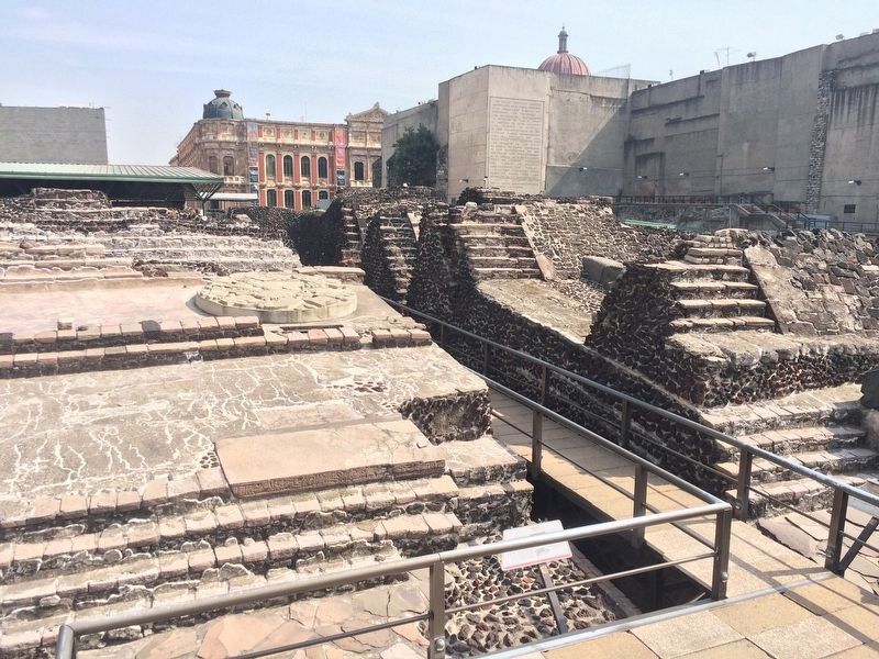
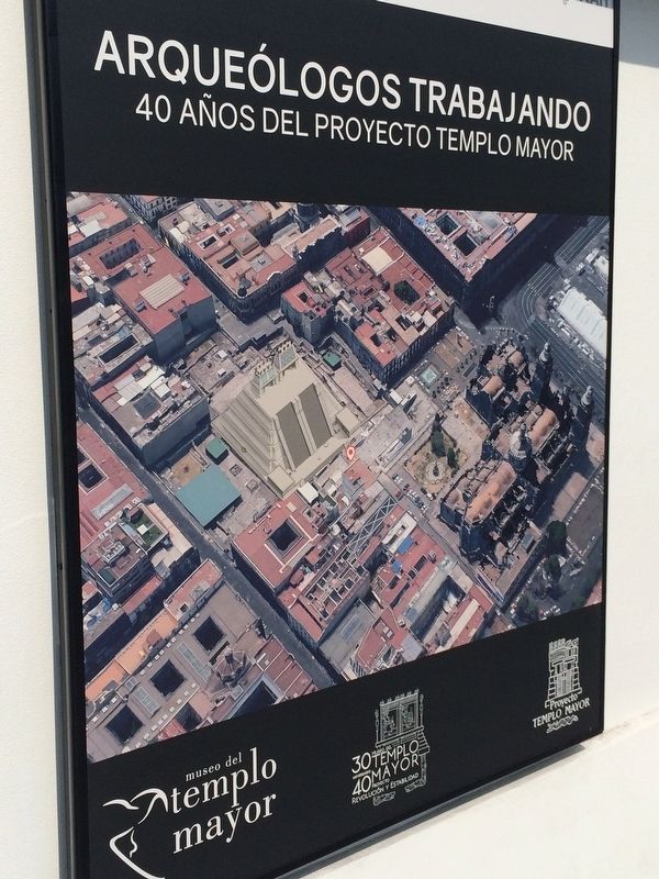
Also see . . . The Templo Mayor (at Wikipedia). The Templo Mayor (Spanish for "Main Temple") was one of the main temples of the Aztecs in their capital city of Tenochtitlan, which is now Mexico City. Its architectural style belongs to the late Postclassic period of Mesoamerica. The temple was dedicated simultaneously to two gods, Huitzilopochtli, god of war, and Tlaloc, god of rain
and agriculture, each of which had a shrine at the top of the pyramid with separate staircases. The spire in the center of the adjacent image was devoted to Quetzalcoatl in his form as the wind god, Ehecatl. The Great Temple devoted to Huitzilopochtli and Tlaloc, measuring approximately 100 by 80 m (328 by 262 ft) at its base, dominated the Sacred Precinct. Construction of the first temple began sometime after 1325, and it was rebuilt six times. The temple was destroyed by the Spanish in 1521 to make way for the new cathedral. Today, the archaeological site lies just to the northeast of the Zócalo, or main plaza of Mexico City, in the block between Seminario and Justo Sierra streets. The site is part of the Historic Center of Mexico City, which was added to the UNESCO World Heritage List in 1987. (Submitted on December 11, 2017, by J. Makali Bruton of Accra, Ghana.)
Credits. This page was last revised on January 4, 2023. It was originally submitted on December 11, 2017, by J. Makali Bruton of Accra, Ghana. This page has been viewed 219 times since then and 16 times this year. Photos: 1, 2, 3, 4, 5. submitted on December 11, 2017, by J. Makali Bruton of Accra, Ghana.
