Leakey in Real County, Texas — The American South (West South Central)
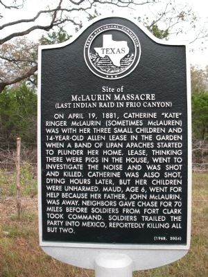
Site of McLaurin Massacre
(Last Indian Raid in Frio Canyon)
Photographed by Bill Royal, November 7, 2009
1. Site of McLaurin Massacre (Last Indian Rain in Frio Canyon) Marker
Erected 1968 by Texas Historical Commission. (Marker Number 4831.)
Topics. This historical marker is listed in these topic lists: Indigenous Peoples and Communities • Settlements & Settlers • Wars, US Indian. A significant historical date for this entry is April 19, 1881.
Location. 29° 48.76′ N, 99° 46.476′ W. Marker is in Leakey, Texas, in Real County. It is on Ranch Road 336 north of McClure Crossing, on the right when traveling north. Touch for map. Marker is in this post office area: Leakey TX 78873, United States
this page online

Regionally, this marker is in the Hill Country. It is also in the American Borderlands. Globally, it is in North America, a Gulf of Mexico state, the Western Hemisphere, the Western World, and the Anglosphere. Historically, it finds itself in what was once New Spain, the Republic of Texas, and one of the Confederate States of America.
Other nearby markers. At least 8 other markers are within 7 miles of this marker, measured as the crow flies: Leakey School (approx. 5.8 miles away); Leakey Methodist Church (approx. 5.8 miles away); Leakey Church of Christ (approx. 5.9 miles away); John Leakey (approx. 6 miles away); Real County (approx. 6 miles away); Real County Courthouse (approx. 6 miles away); a different marker also named Real County (approx. 6 miles away); Leakey Cemetery (approx. 6.2 miles away). Touch for a list and map of all markers in Leakey.
More about this marker. Current marker placed in 2004 to replace original
Related markers. Click here for a list of markers that are related to this marker.
Also see . . . Conflict on the Frio. An article on the
Photographed by Rene Rendon, May 9, 2022
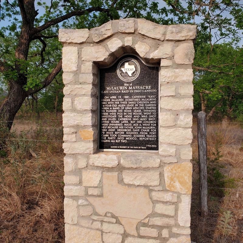
2. Site of McLaurin Massacre Marker
The previous marker was either vandalized or stolen. This is a new marker but placed in a a more secure structure at the same location.
Photographed by Bill Royal, November 7, 2009
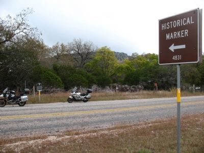
3. Site of McLaurin Massacre (Last Indian Raid in Frio Canyon) Marker
Credits. This page was last revised on December 2, 2024. It was originally submitted on November 11, 2009, by Bill Royal of Sun City Ctr, Florida. This page has been viewed 5,493 times since then and 222 times this year. Last updated on December 11, 2017, by Cosmos Mariner of Cape Canaveral, Florida. Photos: 1. submitted on November 11, 2009, by Bill Royal of Sun City Ctr, Florida. 2. submitted on October 11, 2022, by Rene Rendon of Seaside, California. 3. submitted on November 11, 2009, by Bill Royal of Sun City Ctr, Florida. • Bernard Fisher was the editor who published this page.
