Pendleton in Umatilla County, Oregon — The American West (Northwest)
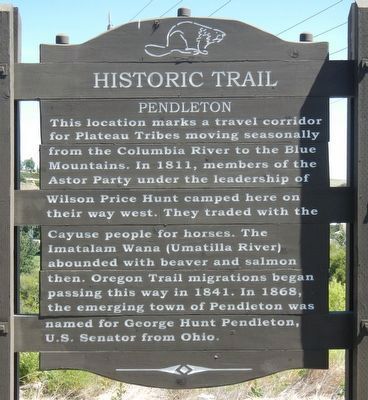
Pendleton
Historic Trail
Erected by Oregon Department of Transportation.
Topics and series. This historical marker is listed in these topic lists: Native Americans • Roads & Vehicles • Settlements & Settlers. In addition, it is included in the Oregon Beaver Boards, and the Oregon Trail series lists. A significant historical year for this entry is 1811.
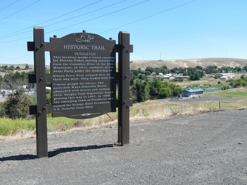
Location. 45° 40.359′ N, 118° 45.321′ W. Marker is in Pendleton, Oregon, in Umatilla County. Marker is on Pendleton Highway (Southeast Court Avenue) (U.S. 30) near Goad Road when traveling west. Touch for map. Marker is at or near this postal address: 2999 Pendleton Highway, Pendleton OR 97801, United States of America. Touch for directions.
Other nearby markers. At least 8 other markers are within 2 miles of this marker, measured as the crow flies. First Methodist Church (approx. 1.4 miles away); Haw Building (approx. 1.4 miles away); Rohrman Bakery (approx. 1.4 miles away); Episcopal Church (approx. 1.4 miles away); LaDow Block (approx. 1˝ miles away); Woodmen of the World (approx. 1˝ miles away); Matlock - Brownfield Bldg (approx. 1˝ miles away); Ferguson Building (approx. 1˝ miles away). Touch for a list and map of all markers in Pendleton.
Credits. This page was last revised on February 11, 2018. It was originally submitted on December 16, 2017, by Barry Swackhamer of Brentwood, California. This page has been viewed 274 times since then and 24 times this year. Photos: 1, 2. submitted on December 16, 2017, by Barry Swackhamer of Brentwood, California.

