
Near Banks in Pike County, Alabama — The American South (East South Central)
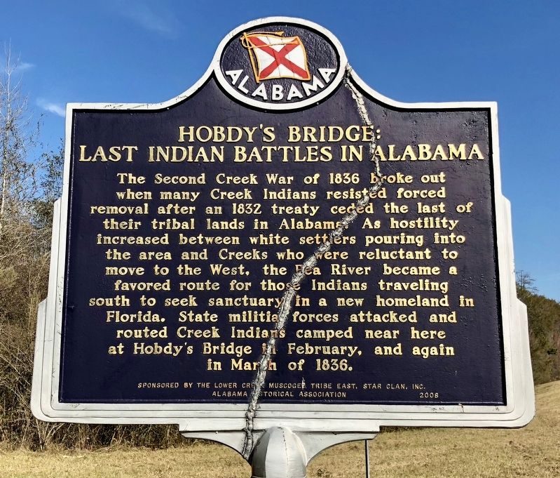
Hobdy's Bridge: Last Indian Battles in Alabama
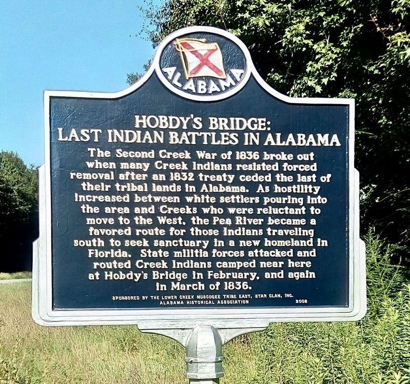
Photographed by James L.Whitman, July 24, 2022
1. Hobdy's Bridge: Last Indian Battles in Alabama Marker
Replacement marker.
Erected 2008 by the Lower Creek Muscogee Tribe East, Star Clan, Inc. Alabama Historical Association.
Topics and series. This historical marker is listed in these topic lists: Indigenous Peoples and Communities • Wars, US Indian. In addition, it is included in the Alabama Historical Association series list. A significant historical month for this entry is March 1836.
Location. 31° 47.176′ N, 85° 40.234′ W. Marker is near Banks, Alabama, in Pike County. It is on Alabama Route 130 1.7 miles west of County Road 9, on the right when traveling west. Touch for map. Marker is in this post office area: Banks AL
this page online

Regionally, this marker is in the American South, specifically in the Deep South, in the Black Belt, and in the Wiregrass. Globally, it is in North America, a Gulf of Mexico state, the Western Hemisphere, the Western World, and the Anglosphere. Historically, it finds itself in what was once the territory of the Mississippian Culture, one of the Confederate States of America, and the Antebellum South.
Other nearby markers. At least 8 other markers are within 7 miles of this marker, measured as the crow flies: Pea River Presbyterian Church Cemetery (approx. 5.2 miles away); Barbour County’s “Little Scotland” / Pea River Presbyterian Church (approx. 5.2 miles away); Dedicated to Memory of African Slaves (approx. 5.2 miles away); Barbour County High School (approx. 6.4 miles away); Clio Heritage Mural (approx. 6.4 miles away); Clio, Alabama (approx. 6.4 miles away); Louisville World War II Memorial (approx. 6½ miles away); Fire Bell (approx. 6.8 miles away).
More about this marker. The marker has been cracked in two and repaired. It is some 700 yards west of the
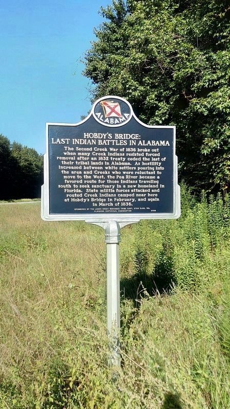
Photographed by James L.Whitman, July 24, 2022
2. Hobdy's Bridge: Last Indian Battles in Alabama Marker
A different historic marker, with the title Hobdy's Bridge, was put up by the Southeastern Muscogee Nation in the 50’s. This marker replaced that one in 2008, but it is now severed in half.
Related marker. Click here for another marker that is related to this marker.
Also see . . .
1. Battle of Hodby's Bridge - Desperate Fight on the Pea River. (Submitted on December 16, 2017, by Mark Hilton of Montgomery, Alabama.)
2. Skirmish at Hobdy's Bridge - Last Man Killed in the Civil War. (Submitted on December 16, 2017, by Mark Hilton of Montgomery, Alabama.)
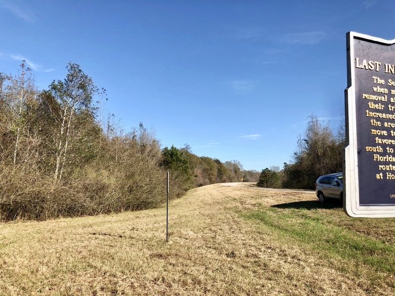
Photographed by Mark Hilton, December 16, 2017
3. View from marker towards the Pea River in distance.
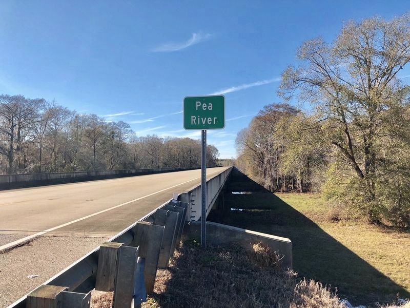
Photographed by Mark Hilton, December 16, 2017
4. View of the Pea River bridge and the Pea Creek.
The modern bridge spanning the Pea River, west of Louisville, today stands very near the location of Hobdy's original span. The battles of Pea River and Hobdy's Bridge were fought in the nearby swamps.
Photographed by Mark Hilton, December 16, 2017
5. Hobdy's Bridge: Last Indian Battles in Alabama Marker
Damaged marker, now replaced.
Credits. This page was last revised on May 3, 2023. It was originally submitted on December 16, 2017, by Mark Hilton of Montgomery, Alabama. This page has been viewed 2,778 times since then and 184 times this year. Photos: 1, 2. submitted on July 29, 2022, by James L.Whitman of Eufaula, Alabama. 3, 4, 5. submitted on December 16, 2017, by Mark Hilton of Montgomery, Alabama.
