Puebla, Mexico — The Central Highlands (North America)
The Old College of San Javier
Antiguo Colegio de San Javier
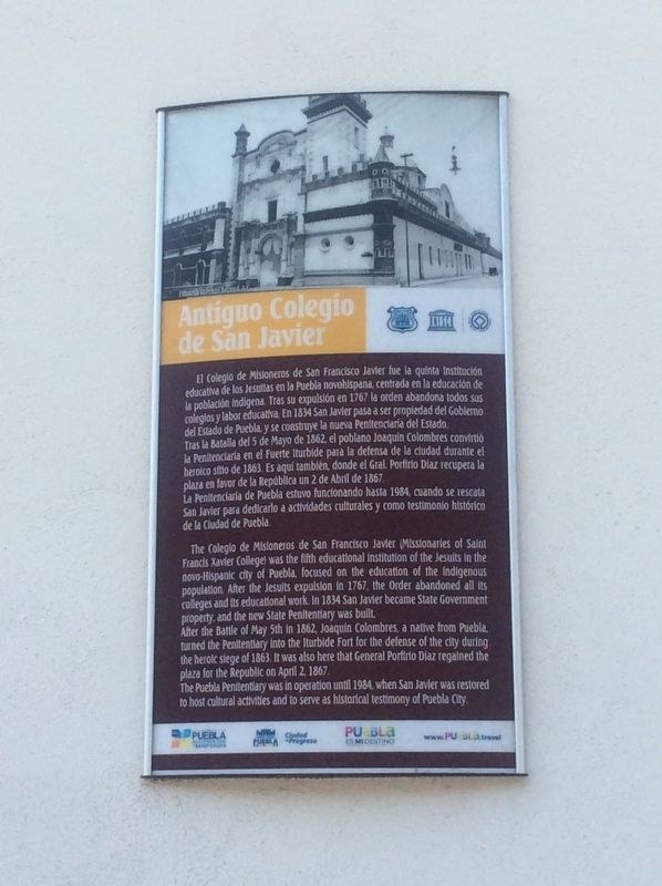
El Colegio de Misioneros de San Francisco Javier fue la quinta institución educativa de los Jesuitas en la Puebla novohispana, centrada en la educación de la población indígena. Tras su expulsión en 1767 la orden abandona todos sus colegios y labor educativa. En 1834 San Javler pasa a ser propiedad del Gobierno del Estado de Puebla,y se construye la nueva Penitenciaria del Estado.
Tras la Batalla del 5 de Mayo de 1862, el poblano Joaquín Colombres convirtió la Penitenciaria en el Fuerte Iturbide para la defensa de la ciudad durante el heroico sitio de 1863. Es aquí también, donde el Gral. Porfirio Díaz recupera la plaza en favor de la República un 2 de Abril de 1867.
La Penitenclaria de Puebla estuvo funcionando hasta 1984, cuando se rescata San Javier para dedicarlo a actividades culturales y como testimonio histórico de la Ciudad de Puebla.
The Old College of San Javier
The Colegio de Misioneros de San Francisco Javier (Missionaries of Saint Francis Xavier College) was the fifth educational institution of the Jesuits in the novo-Hispanic city of Puebla, focused on the education of the indigenous population. After the Jesuits’ expulsion in 1767, the Order abandoned all its colleges and its educational work. In 1834 San Javier became State Government property, and the new State Penitentiary was built.
After the Battle of May 5th in 1862, Joaquin Colombres, a native from Puebla, turned the Penitentiary into the Iturbide Fort for the defense of the city during the heroic siege of 1863. It was also here that General Porfirio Díaz regained the plaza for the Republic on April 2, 1867.
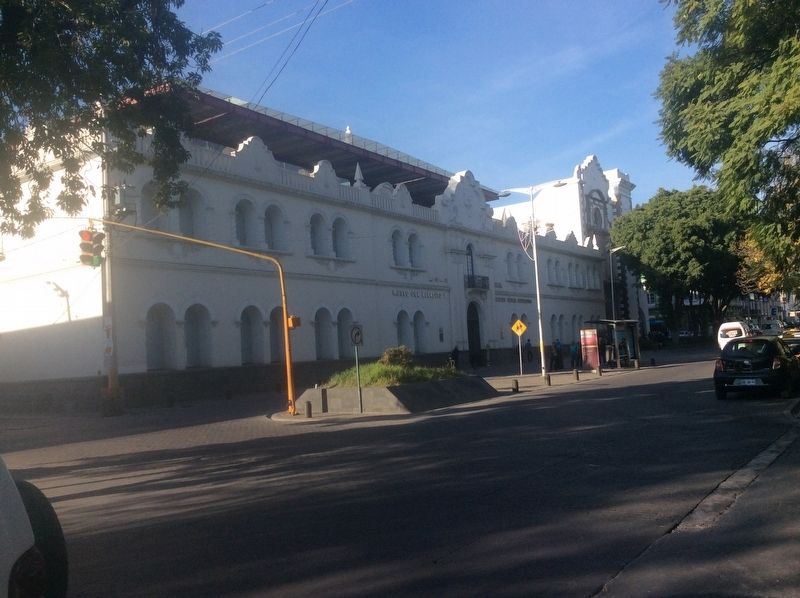
The Puebla Penitentiary was in operation until 1984, when San Javier was restored to host cultural activities and to serve as historical testimony of Puebla City.
Erected by Gobierno Municipal de Puebla.
Topics. This historical marker is listed in these topic lists: Churches & Religion • Education • Wars, Non-US. A significant historical date for this entry is April 2, 1867.
Location. 19° 2.905′ N, 98° 12.461′ W. Marker is in Puebla. Marker is on Calle 13 Sur just south of Avenida de la Reforma, on the right when traveling south. Touch for map. Marker is in this post office area: Puebla 72000, Mexico. Touch for directions.
Other nearby markers. At least 8 other markers are within walking distance of this marker. The Museum of the Mexican Army and Air Force (here, next to this marker); The Church of Guadalupe (about 120 meters away, measured in a direct line);
The "Paseo Bravo" as a Civic Space (about 210 meters away); Nicolás Bravo (about 210 meters away); The House of the Little Heads (approx. 0.6 kilometers away); Mail Car NM 2555 (approx. 0.6 kilometers away); Diesel-Electric Locomotives DH-19 and DH-17 (approx. 0.6 kilometers away); Electric Locomotive FCM 1001 (approx. 0.6 kilometers away). Touch for a list and map of all markers in Puebla.

3. The Old College of San Javier Marker
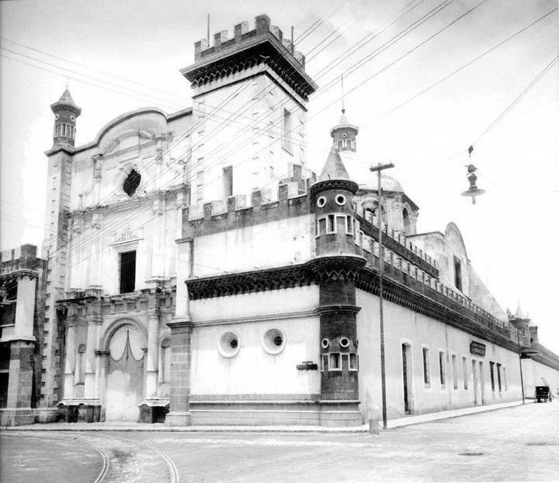
This anonymous and undated photo of the Old College of San Javier from the Antonio Becerril Photographic Collection appears to be the photo from the top of the marker. This view is from Calle 13 Sur and Avenida la Reforma, some steps to the right from the featured marker. The electric lines seen in the photo would suggest a date after the 1880s.
Credits. This page was last revised on March 24, 2024. It was originally submitted on December 20, 2017, by J. Makali Bruton of Accra, Ghana. This page has been viewed 129 times since then and 7 times this year. Photos: 1, 2, 3. submitted on December 20, 2017, by J. Makali Bruton of Accra, Ghana.

