
Bayou Fountain
Highland Road Community Park
| — | Atchafalaya Water Heritage Trail | — |
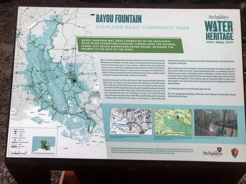
Bayou Fountain was once connected to the Mississippi River when springtime flooding flowed over the natural levees just below downtown Baton Rouge, entering the swamps to the east of the river.
Bayou is a word used frequently to describe waterbodies commonly found in Louisiana’s Mississippi and Atchafalaya river deltas. Bayous are typically found in flat, low-lying areas and can be slow-moving streams, rivers, marshes or wetlands. Those close to the coast reverse course on a daily basis, responding to tidal influences from the Gulf of Mexico. Bayous are sometimes anabranches, or minor, very slow-moving parts of a braided river—a network of channels separated by small and often temporary islands—and they support a variety of crustaceans, fish, reptiles, birds and mammal life.
Bayou Fountain begins at the foot of the Baton Rouge Lakes just outside of downtown Baton Rouge. The bayou’s course flows between the natural levee of the Mississippi River to the west and the Pleistocene terrace to the east. Bayou Fountain was once connected to the Mississippi River when springtime flooding flowed over the natural levees
this page online
Bayou Fountain was once an important means of transportation for American Indians and early colonial settlers to the area. Its geomorphological position as a waterbody close to a high terrace also made it a favorable location for settlement. In modern times it became a continual victim of urban runoff. Fallen trees and captured debris also made the stream impassable and degraded its flood carrying capacity. Community efforts in recent years have helped to clear several miles of these log and trash jams from Highland Road Park to Bayou Manchac.
Visit Atchafalaya.org for more information about this site.
This site’s geology/geomorphology: Pleistocene alluvial deposits of coastal plain streams blanketed by Peoria Loess.
Erected by State
Topics and series. This historical marker is listed in these topic lists: Environment • Waterways & Vessels. In addition, it is included in the Atchafalaya Water Heritage Trail series list.
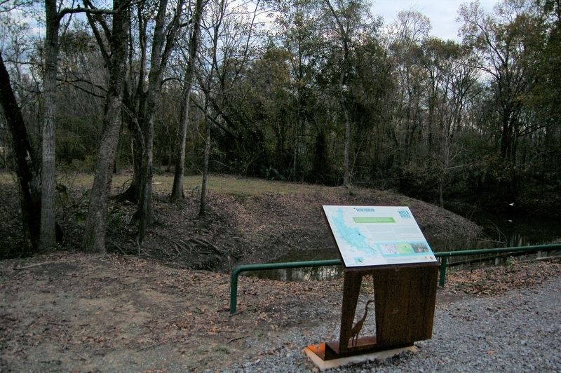
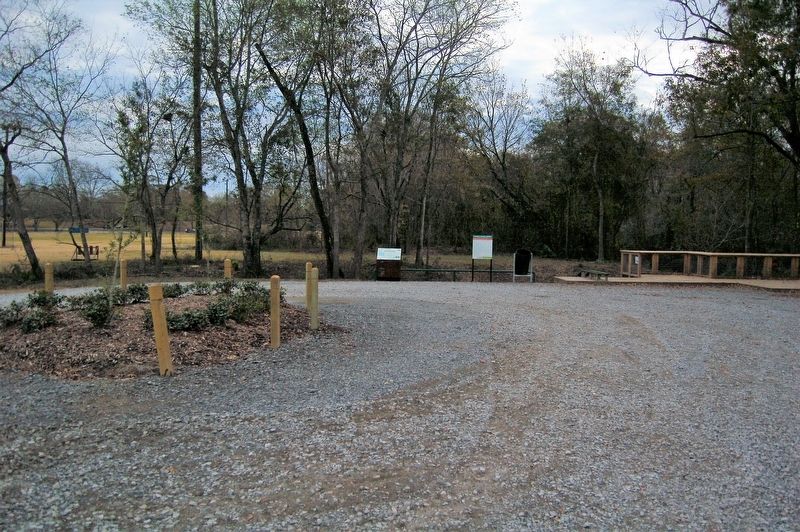
Location. 30° 20.841′ N, 91° 4.705′ W. Marker is in Baton Rouge, Louisiana, in East Baton Rouge Parish. It is in South Baton Rouge. It can be reached from Highland Road (State Road 42) west of Amiss Road, on the left when traveling west. Touch for map. Marker is at or near this postal address: 13955 Highland Road, Baton Rouge LA 70810, United States of America. Touch for directions.

Regionally, this marker is in Louisiana’s Florida Parishes. It is also in the American South, specifically in the Deep South, and in the Great River Road Region. Globally, it is in North America, a Gulf of Mexico state, the Western Hemisphere, the Western World, and the Anglosphere. Historically, it finds itself in what was once New Spain, the territory of the Mississippian Culture, the Louisiana Purchase, one of the Confederate States of America, and
Other nearby markers. At least 8 other markers are within 4 miles of this marker, measured as the crow flies: William Bartram Trail (approx. 1.2 miles away); Bluebonnet Swamp (approx. 2.2 miles away); BREC's Bluebonnet Swamp Nature Center (approx. 2.2 miles away); Swamp Age (approx. 2.2 miles away); Upland Hardwoods (approx. 2.2 miles away); Dutch Highlands (approx. 2.6 miles away); Joe Martin, Jr. (approx. 3.2 miles away); Bayou Paul Colored School (approx. 3.7 miles away). Touch for a list and map of all markers in Baton Rouge.
Credits. This page was last revised on July 22, 2023. It was originally submitted on December 23, 2017, by Cajun Scrambler of Assumption, Louisiana. This page has been viewed 2,348 times since then and 154 times this year. Photos: 1, 2, 3. submitted on December 23, 2017.
