Sylmar in Los Angeles in Los Angeles County, California — The American West (Pacific Coastal)
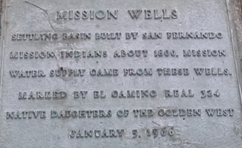
Mission Wells
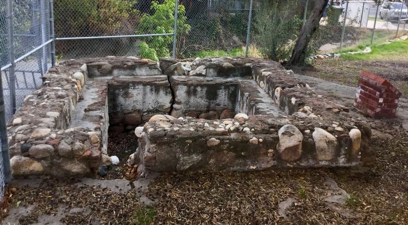
Settling Basin built by San Fernando Mission Indians about 1800. Mission water supply came from these wells.
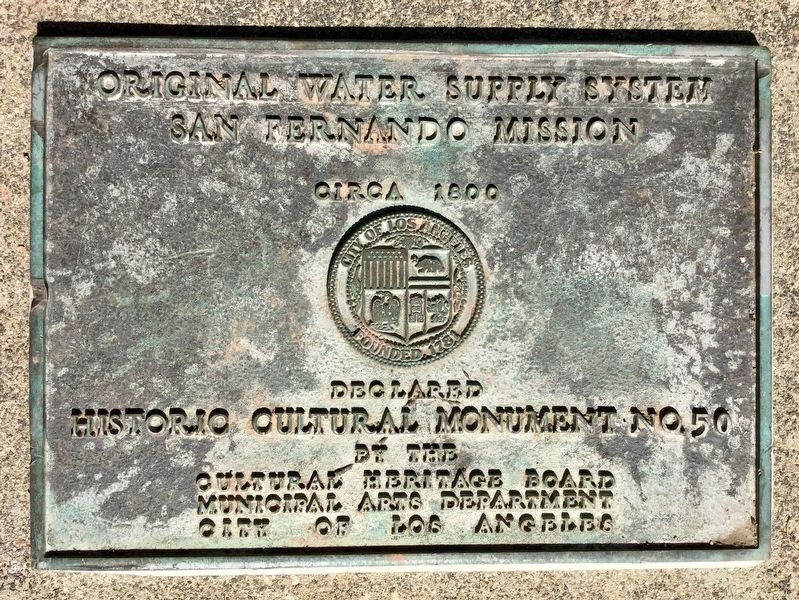
panel 2:
Original water supply system, San Fernando Mission, circa 1800. Declared Historic Cultural Monument No. 50 by the Cultural Heritage Board, Municipal Arts Department, City of Los Angeles.
Erected 1966 by Native Daughters of the Golden West. (Marker Number 50.)
Topics and series. This historical marker is listed in these topic lists: Churches & Religion • Native Americans • Natural Resources. In addition, it is included in the Los Angeles Historic-Cultural Monument, and the Native Sons/Daughters of the Golden West series lists. A significant historical year for this entry is 1800.
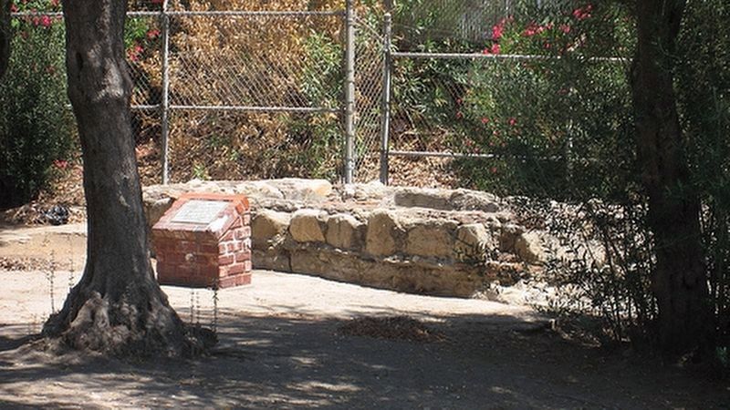
Location. 34° 17.534′ N, 118° 27.24′ W. Marker is in Los Angeles, California, in Los Angeles County. It is in Sylmar. Marker can be reached from the intersection of Havana Avenue and Bleeker Street. Marker is not accessible because this water facility is not open to the public. It can be seen at a distance through a fence. Touch for map. Marker is at or near this postal address: 12299 Havana Ave, Sylmar CA 91342, United States of America. Touch for directions.
Other nearby markers. At least 8 other markers are within 2 miles of this marker, measured as the crow flies. Rogerio Rocha (approx. 0.6 miles away); Khatchkar (approx. 0.8 miles away); Armenian History Timeline (approx. 0.8 miles away); Mission Dam (approx. 0.9 miles away); Casa de Lopez (approx. 0.9 miles away); Father Junipero Serra (approx. 0.9 miles away); Trinity Church (approx. 0.9 miles away); Cesar Chávez (approx. 1.3 miles away). Touch for a list and map of all markers in Los Angeles.
More about this marker. The Mission Wells today provide water to residents of Los Angeles, and for security reasons there is no public access.
Regarding Mission Wells. 200 years ago, water flowed to the surface naturally, there were no wells. The San Fernando Mission was located nearby because of this water supply.
Related markers. Click here for a list of markers that are related to this marker. To better understand the relationship, study each marker in the order shown.
Credits. This page was last revised on February 27, 2023. It was originally submitted on November 2, 2017, by Craig Baker of Sylmar, California. This page has been viewed 909 times since then and 62 times this year. Last updated on December 25, 2017, by Craig Baker of Sylmar, California. Photos: 1. submitted on November 2, 2017. 2. submitted on February 22, 2018, by Craig Baker of Sylmar, California. 3. submitted on November 2, 2017. 4. submitted on February 22, 2018, by Craig Baker of Sylmar, California. • Bill Pfingsten was the editor who published this page.


