Henrico in Henrico County, Virginia — The American South (Mid-Atlantic)
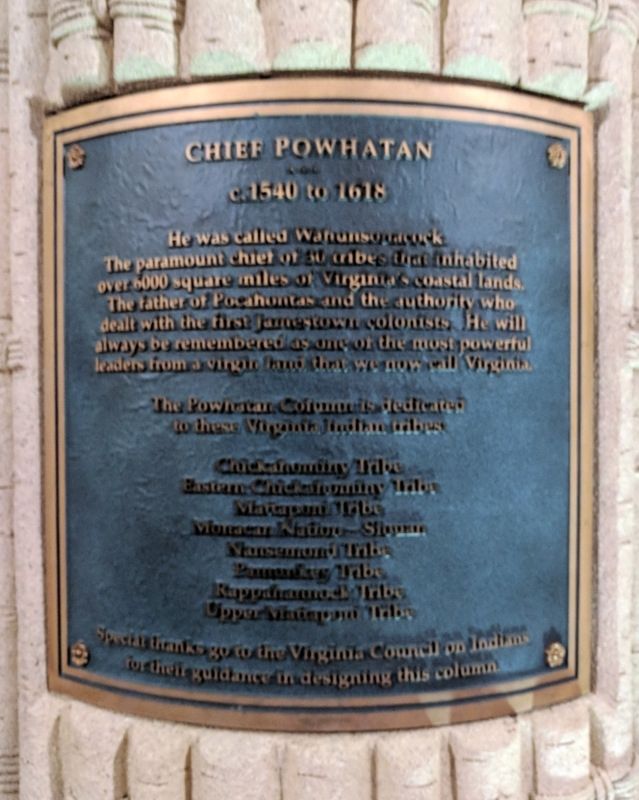
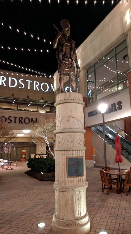
Chief Powhatan
c.1540 to 1618
The Powhatan Column is dedicated to the Virginia Indian tribes:
Eastern Chickahominy Tribe
Mattaponi Tribe
Nansemond Tribe
Pamunkey Tribe
Rappahannock Tribe
Upper Mattoponi Tribe
Special thanks go to the Virginia Council on Indians for their guidance in designing this column.
Topics. This historical marker is listed in these topic lists: Colonial Era • Native Americans • Settlements & Settlers.
Location. 37° 39.337′ N, 77° 37.113′ W. Marker is in Henrico, Virginia, in Henrico County. Marker can be reached from the intersection of West Broad Street (U.S. 250) and Lauderdale Drive, on the right when traveling west. Located in Short Pump Town Center. Touch for map. Marker is at or near this postal address: 11800 W Broad St, Henrico VA 23233, United States of America. Touch for directions.
Other nearby markers. At least 8 other markers are within 3 miles of this marker, measured as the crow flies. "Right arm to partner & Reel" (about 300 feet away, measured in a direct line); Short Pump (approx. 0.4 miles away); Deep Run School (approx. 0.6 miles away); Springfield School (approx. 0.9 miles away); Shady Grove United Methodist Church (approx. 1.1 miles away); Goochland County / Henrico County (approx. 1.7 miles away); Deep Run Baptist Church (approx. 2.2 miles away); Old Coal Pit Railroad Bed (approx. 2.7 miles away). Touch for a list and map of all markers in Henrico.
Also see . . .
1. Powhatan (Native American leader). Wikipedia (Submitted on December 27, 2017.)
2. Powhatan (d. 1618). Encyclopedia Virginia (Submitted on December 27, 2017.)
3. Chief Powhatan. Historic Jamestowne (Submitted on December 27, 2017.)
Credits. This page was last revised on December 27, 2017. It was originally submitted on December 27, 2017, by Bernard Fisher of Richmond, Virginia. This page has been viewed 784 times since then and 89 times this year. Photos: 1, 2. submitted on December 27, 2017, by Bernard Fisher of Richmond, Virginia.

