Mobridge in Walworth County, South Dakota — The American Midwest (Upper Plains)
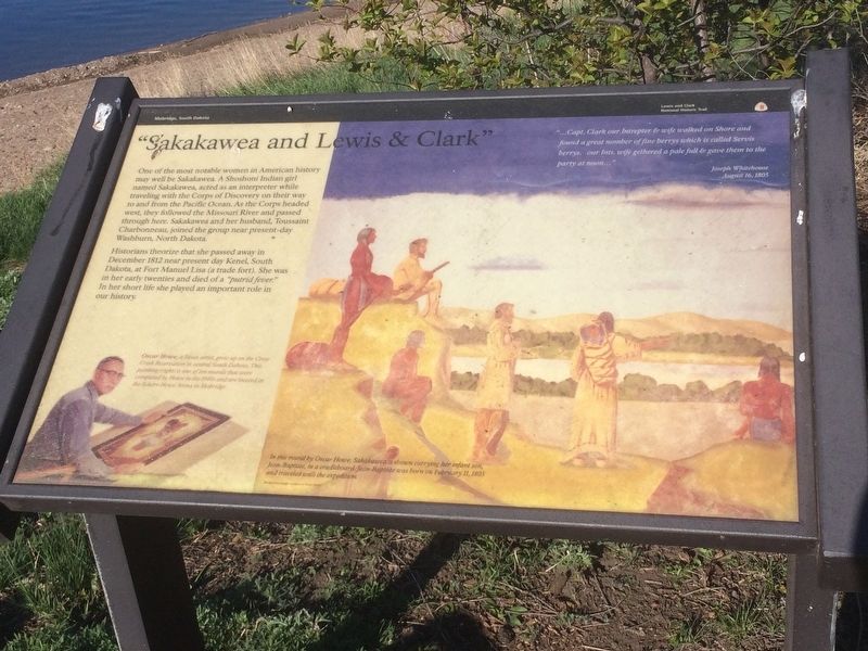
"Sakakawea and Lewis & Clark"
One of the most notable women in American History may well be Sakakawea. A Shoshoni Indian girl named Sakakawea, acted as an interpreter while traveling with the Corps of Discovery on their way to and from the Pacific Ocean. As the Corps headed west, they followed the Missouri River and passed through here. Sakakawea and her husband, Toussaint Charbonneau, joined the group near present-day Washburn, North Dakota.
Historians theorize that she passed away in December 1812 near present day Kenel, South Dakota, at Fort Manuel Lisa (a trade fort). She was in her early twenties and died of a "putrid fever." In her short life she played an important role in our history.
Journal entry
"…Capt. Clark our Intrepter & wife walked on Shore and found a great nomber of fine berrys which is called Servis berrys. Our Ints. Wife gethered a pale full & gave them to the Party at noon…"
Joseph Whitehouse
August 16, 1805
Picture Caption
In this mural by Oscar Howe, Sakakawea is shown carrying her infant son, Jean-Baptiste , in a cradleboard. Jean-Baptiste was born on February 11, 1805 and traveled with the expedition. Oscar Howe, a Sioux artist, grew up on the Crow Creek Reservation in central South Dakota. This painting (right) is one of ten murals that were completed by Howe in the 1940s and are located in the Scherr-Howe Arena in Mobridge.
Erected by Lewis and Clark National Historic Trail.
Topics and series. This historical marker is listed in these topic lists: Exploration • Native Americans • Settlements & Settlers • Women. In addition, it is included in the Lewis & Clark Expedition series list.
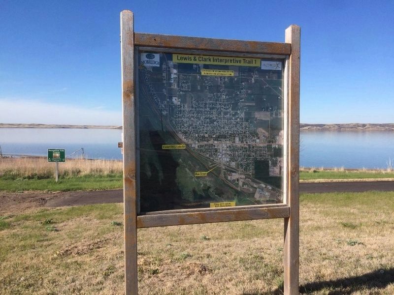
Location. 45° 32.102′ N, 100° 26.596′ W. Marker is in Mobridge, South Dakota, in Walworth County. Marker can be reached from Lewis & Clark Interpretive Trail 1, 0.6 miles north of Park Blvd.. Park in lot off Park Blvd. and walk .6 miles north on trail. Touch for map. Marker is in this post office area: Mobridge SD 57601, United States of America. Touch for directions.
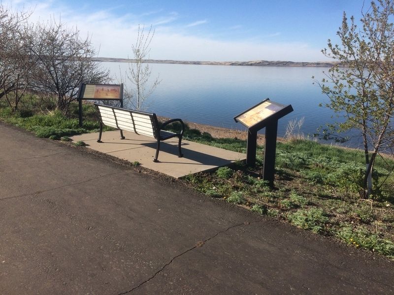
Other nearby markers. At least 8 other markers are within walking distance of this marker. "they just did a man's job" (here, next to this marker); Lewis and Clark Expedition (approx. 0.2 miles away); Honored Leaders (approx. 0.3 miles away); A Final Resting Place (approx. 0.3 miles away); Lewis and Clark/Mobridge (approx. half a mile away); "the track of the white bear" (approx. half a mile away); A Valuable Member of the Team (approx. half a mile away); Lewis & Clark meet the Arikaras (approx. 0.9 miles away). Touch for a list and map of all markers in Mobridge.
Credits. This page was last revised on April 16, 2018. It was originally submitted on January 1, 2018, by Ruth VanSteenwyk of Aberdeen, South Dakota. This page has been viewed 235 times since then and 17 times this year. Photos: 1, 2, 3. submitted on January 1, 2018, by Ruth VanSteenwyk of Aberdeen, South Dakota. • Bill Pfingsten was the editor who published this page.


