Mosier in Wasco County, Oregon — The American West (Northwest)
Mosier
Nestled bewteen the rainy Cascades and the eastern Oregon deserts, Mosier's unique climate enables hillsides to bloom in a pallet of color. In the spring, wildflower enthusiasts flock to Mosier for the spectacular array – “the Wildflower Capital of the World.”
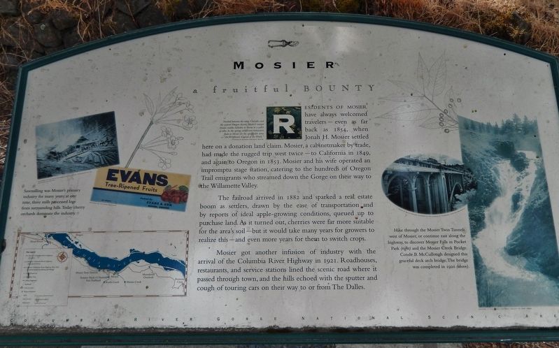
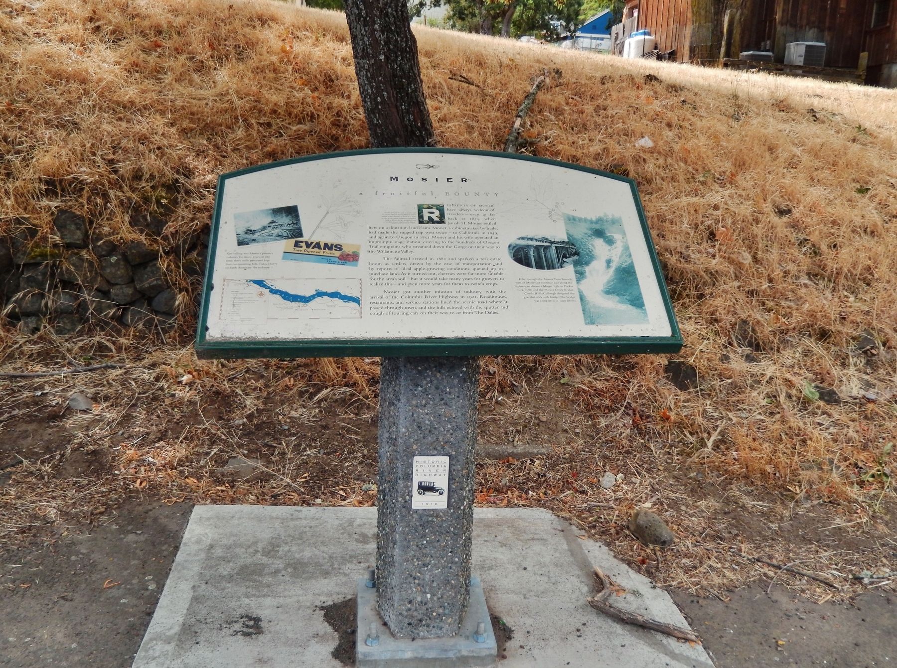
Residents of Mosier have always welcomed travelers – even as far back as 1854, when Jonah H. Mosier settled here on a donation land claim. Mosier, a cabinetmaker by trade, had made the rugged trip west twice – to California in 1849, and again to Oregon in 1853. Mosier and his wife operated an impromptu stage station, catering to the hundreds of Oregon Trail emigrants who streamed down the Gorge on their way to the Willamette Valley.
The railroad arrived in 1882 and sparked a real estate boom as settlers, drawn by the ease of transportation and by reports of ideal apple-growing conditions, queued up to purchase land. As it turned out, cherries were far more suitable for the area's soil – but it would take many years for growers to realize this – and even more years for them to switch crops.
Mosier got another infusion of industry with the arrival of the Columbia River Highway in 1921. Roadhouses, restaurants, and service stations lined the scenic road where it passed through town, and the hills echoed with the sputter and cough of touring cars on their way to or from The Dalles.
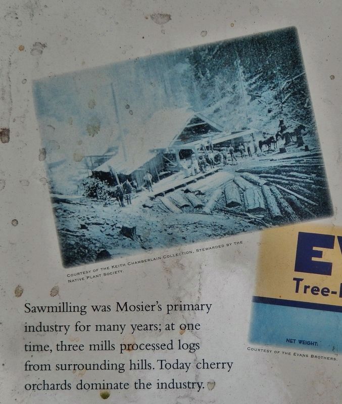
Sawmilling was Mosier’s primary industry for many years; at one time, three mills processed logs from surrounding hills. Today cherry orchards dominate the industry.
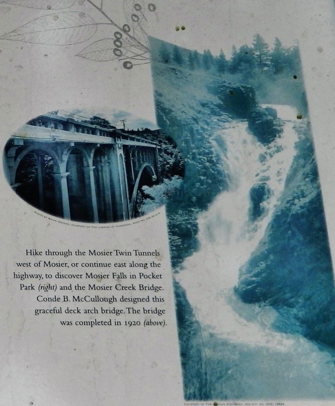
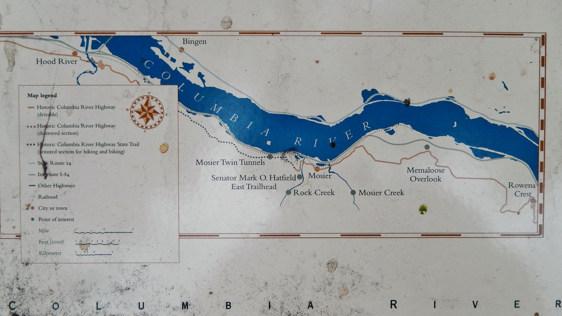
Hike through the Mosier Twin Tunnels west of Mosier, or continue east along the highway, to discover Mosier Falls in Pocket Park and the Mosier Creek Bridge. Conde B. McCullough designed this graceful deck arch bridge. The bridge was completed in 1920.
Topics. This historical marker is listed in these topic lists: Agriculture • Railroads & Streetcars • Roads & Vehicles • Settlements & Settlers.
Location. 45° 41.03′ N, 121° 23.802′ W. Marker is in Mosier, Oregon, in Wasco County. Marker is on Historic Columbia River Highway (U.S. 30) east of Main Street, on the right when traveling east. Marker is located in a pull-out on the south side of the highway between Main Street and Oregon Street. Touch for map. Marker is at or near this postal address: 702 1st Ave, Mosier OR 97040, United States of America. Touch for directions.
Other nearby markers. At least 8 other markers are within 6 miles of this marker, measured as the crow flies. Memaloose Overlook (approx. 2.3 miles away); Memaloose Rest Area Oregon Trail Kiosk (approx. 2.9 miles away); Memaloose—Island of the Dead (approx. 3 miles away); Transition Zones (approx. 3.8 miles away in Washington); A Fluid Geologic Past (approx. 3.8 miles away in Washington); Rowena Crest - The Rowena Loops (approx. 4.7 miles away); Rowena Crest - Ice Age Floods (approx. 4.7 miles away); Pioneer Cemetery (approx. 5.1 miles away in Washington). Touch for a list and map of all markers in Mosier.
Also see . . . Mosier Twin Tunnels.
The "Twin Tunnels" of Mosier were a part of the Historic Columbia River Highway. Engineered by John A. Elliot and constructed between 1919 and 1921, the tunnels were closed in 1955 with the completion of Interstate 84 following the banks of the Columbia River. Originally the tunnels were 17 feet wide but with the advent of larger cars they were widened to 20 feet. The Tunnels were closed in 1955 because of safety issues. With help of Senator Mark Hatfield, the twin tunnels were re-opened in July 2000 for bicycle and foot traffic, and are now part of a 4.6-mile-long "Historic Columbia River Highway State Trail". (Submitted on January 5, 2018, by Cosmos Mariner of Cape Canaveral, Florida.)
Credits. This page was last revised on October 20, 2020. It was originally submitted on January 4, 2018, by Cosmos Mariner of Cape Canaveral, Florida. This page has been viewed 241 times since then and 14 times this year. Photos: 1. submitted on January 4, 2018, by Cosmos Mariner of Cape Canaveral, Florida. 2, 3, 4, 5. submitted on January 5, 2018, by Cosmos Mariner of Cape Canaveral, Florida. • Bill Pfingsten was the editor who published this page.
