Lakeview in Lake County, Oregon — The American West (Northwest)
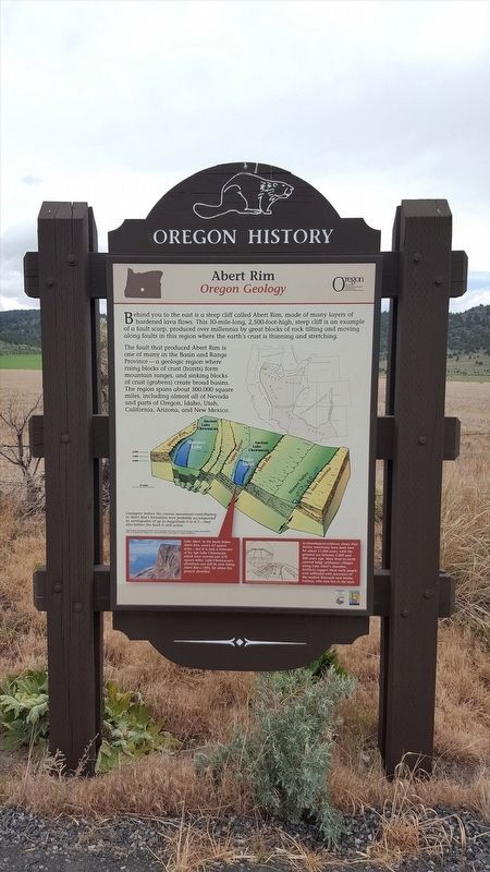
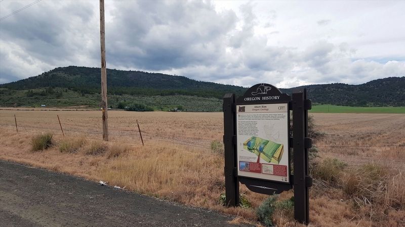
Abert Rim
Oregon Geology
The fault that produced Abert Rim is one of many in the Basin and Range Province--a geologic region where rising blocks of crust (horsts) form mountain ranges, and sinking blocks of crust (grabens) create broad basins. The region spans about 300,000 square miles, including almost all of Nevada and parts of Oregon, Idaho, Utah, California, Arizona, and New Mexico.
Lake Abert, in the basin below Abert Rim, covers 63 square miles--but it is only a remnant of Ice Age Lake Chewaucan, which once covered over 470 square miles. Lake Chewaucan's shorelines can still be seen lining Abert Rim's cliffs, far above the present shorelines.
Archaeological evidence shows that Native American have been here for about 11,000 years, with the greatest use between 2,000 and 500 years ago. Most lived in earth covered lodge (pithouse) villages along Lake Abert's shoreline. Artifacts suggest these early people were affiliated with with ancestors of the modern Klamath and Modoc Indians, who now live to the west.
Erected by Oregon Travel Experience.
Topics and series. This historical marker is listed in these topic lists: Environment • Native Americans. In addition, it is included in the Oregon Beaver Boards series list.
Location. 42° 27.745′ N, 120° 16.935′ W. Marker is in Lakeview, Oregon, in Lake County. Marker is on Fremont Hwy (U.S. 395), on the right when traveling south. Touch for map. Marker is in this post office area: Lakeview OR 97630, United States of America. Touch for directions.
Other nearby markers. At least 1 other marker is within 4 miles of this marker, measured as the crow flies. Chandler State Park (approx. 3.6 miles away).
Also see . . . Oregon Travel Experience - Abert Rim. (Submitted on January 12, 2018, by Douglass Halvorsen of Klamath Falls, Oregon.)
Credits. This page was last revised on January 16, 2018. It was originally submitted on January 12, 2018, by Douglass Halvorsen of Klamath Falls, Oregon. This page has been viewed 368 times since then and 38 times this year. Photos: 1, 2, 3. submitted on January 12, 2018, by Douglass Halvorsen of Klamath Falls, Oregon. • Bill Pfingsten was the editor who published this page.


