Navy Yard in Southeast Washington in Washington, District of Columbia — The American Northeast (Mid-Atlantic)
1607
John Smith
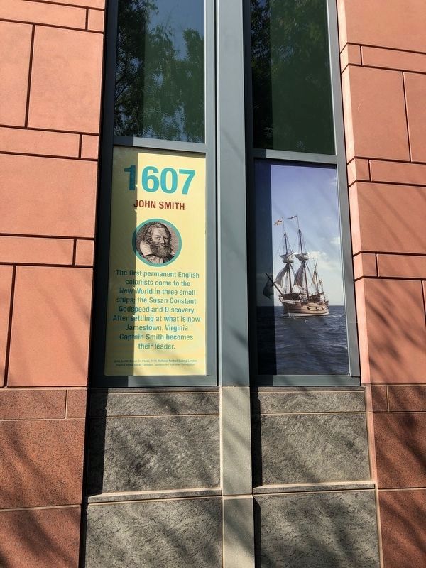
Erected by U.S. Department of Transportation.
Topics and series. This historical marker is listed in these topic lists: Colonial Era • Exploration • Waterways & Vessels. In addition, it is included in the D.C. - Transportation Walk series list. A significant historical year for this entry is 1607.
Location. 38° 52.529′ N, 77° 0.136′ W. Marker is in Southeast Washington in Washington, District of Columbia. It is in Navy Yard. It is on 3rd Street Southeast north of Tingey Street Southeast, on the right when traveling north. Touch for map. Marker is at or near this postal address: 1200 New Jersey Avenue Southeast, Washington DC 20590, United States of America. Touch for directions.

Regionally, this marker is in the Washington Metropolitan Area. It is also in the American Northeast, in the Upper South, in the Mid-Atlantic, in the Tidewater, and in the Chesapeake Bay Region. Globally, it is in
this page online
Other nearby markers. At least 8 other markers are within walking distance of this marker: Cable Stayed Bridge (here, next to this marker); 2005 (a few steps from this marker); 2003 (a few steps from this marker); Landing Gear and Wheels (a few steps from this marker); 1983 (within shouting distance of this marker); 2004 (within shouting distance of this marker); 1972-1978 (within shouting distance of this marker); Arch Bridge (within shouting distance of this marker). Touch for a list and map of all markers in Southeast Washington.
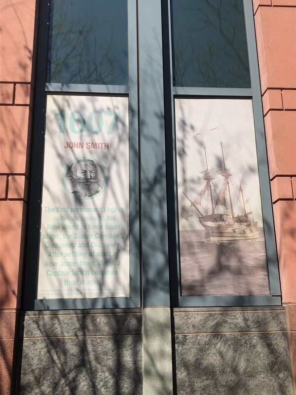
Photographed by Devry Becker Jones (CC0), April 1, 2019
2. 1607 Marker
This is a previous iteration of the marker. While the information is identical, the formatting is slightly different.
Credits. This page was last revised on January 30, 2023. It was originally submitted on January 15, 2018, by Devry Becker Jones of Washington, District of Columbia. This page has been viewed 265 times since then and 13 times this year. Photos: 1. submitted on August 23, 2021, by Devry Becker Jones of Washington, District of Columbia. 2. submitted on April 1, 2019, by Devry Becker Jones of Washington, District of Columbia. • Bill Pfingsten was the editor who published this page.
