Merlin in Josephine County, Oregon — The American West (Northwest)
Hellgate Canyon
The Gateway to the Wild & Scenic Roque River
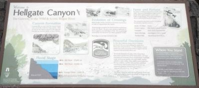
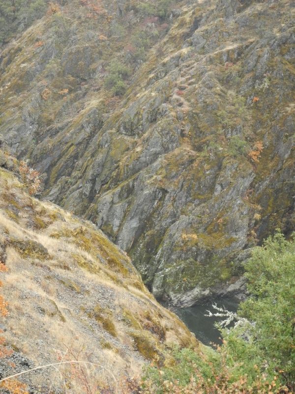
Constant flow of water over the volcanic basalt rock carved the 2,100-foot long canyon. With no way for the water to expand to the sides, the river bed was forced to depths of about 100 feet.
Before bridges, settlers and miners crossed the river by ferry or cable car suspended above the canyon.
The first bridge was built in 1913 for $14,628 but washed away in the 1927 flood. The piers were raised an additional 14-feet to support a second bridge in 1928. The second bridge survived the 1955 flood but was called "outdated" in 1963.
The bridge you see today was built in 1967.
In 1921, The California Oregon Power Company purchased 158 acres surrounding the canyon for a future dam and powerhouse. In 1968, Hellgate Canyon and 84 river miles were protected by Congress with the National Wild and Scenic Rivers Act.
"It is hereby declared to be the policy of the United States that certain selected rivers of the nation which, with their immediate environments, possess outstandingly remarkable scenic, recreational, geologic, fish and wildlife, historic, cultural or other similar values, shall be preserved in free-flowing condition, and that they and their immediate environments shall be protected for the benefit and enjoyment of present and future generations." -- Wild and Scenic Rivers Act - Oct. 21, 1968
The power company, under the name, Pacific Power and Light, dedicated the land to the people of Oregon in 1971.
Recreation in Hellgate Canyon began in the early 1900's. Boat tours and fishing brought tourists. By the 1930's, famous people such as Clark Gable, Ginger Rogers, Zane Grey and Herbert Hoover noted the fishing on the Rogue.
The canyon has often been used as a backdrop for television and films, such as ... Movie/TV Show -- Actors: Rooster Cogburn -- John Wayne, Kathryn Hepburn; Gunsmoke -- James Arness, Burt Reynolds; Spirit of the Eagle -- Dan Haggerty, Trever Yarrish; The River Wild -- Meryl Streep, Kevin Bacon
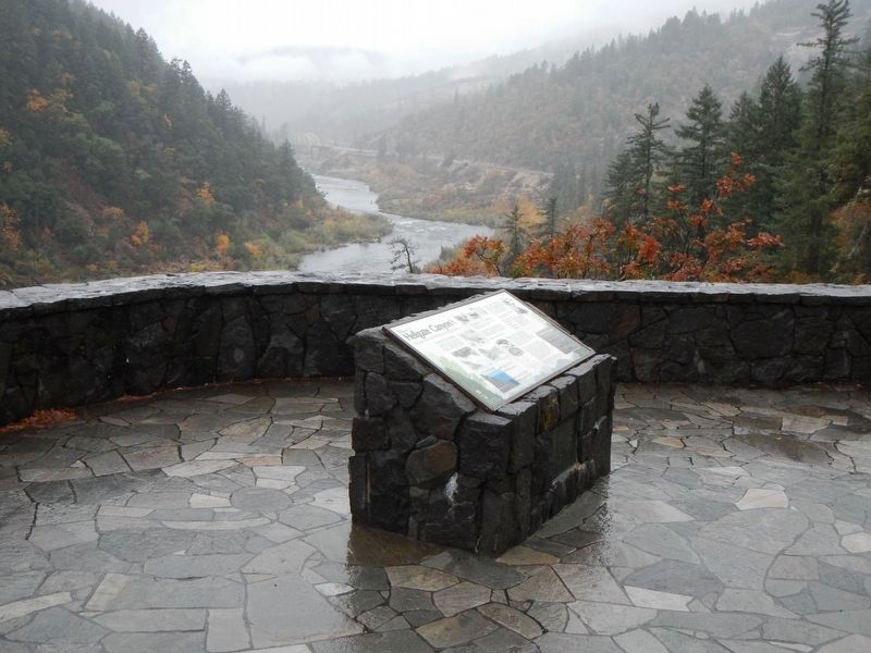
The original Hellgate viewpoint was constructed in the late 1930's by the Civilian Conservation Corps. The viewpoint was reconstructed to its current state in 2009.
Underneath your feet are hidden objects and animals within the paving stones. Can you find them?
Four fish, a bear, a turtle, a sunburst, a compass sign, and eagle carrying a fish, and an arrowhead.
Erected by Bureau of Land Management.
Topics and series. This historical marker is listed in these topic lists: Environment • Natural Features • Sports • Waterways & Vessels. In addition, it is included in the Former U.S. Presidents: #31 Herbert Hoover series list.
Location. 42° 32.622′ N, 123° 30.804′ W. Marker is in Merlin, Oregon, in Josephine County. Marker is on Merlin-Galice Road near Hog Creek Road, on the left when traveling west. Touch for map. Marker is at or near this postal address: 4849 Merlin-Galice Road, Merlin OR 97532, United States of America. Touch for directions.
Other nearby markers. At least 8 other markers are within 9 miles of this marker, measured as the crow flies. Historic Indian Mary Park (approx. 1˝ miles away); Rogue River Wars (approx. 5.1 miles away); Gray's Ranch (approx. 7 miles away); Burrell M. Baucom (approx. 7.9 miles away); No Land is Free (approx. 7.9 miles away); The 1846 Applegate Trail (approx. 7.9 miles away); From Homeland to Tragedy (approx. 7.9 miles away); Fort Vannoy (approx. 8.8 miles away). Touch for a list and map of all markers in Merlin.
Credits. This page was last revised on January 16, 2018. It was originally submitted on January 16, 2018, by Barry Swackhamer of Brentwood, California. This page has been viewed 603 times since then and 86 times this year. Photos: 1, 2, 3. submitted on January 16, 2018, by Barry Swackhamer of Brentwood, California.


