Central Point in Jackson County, Oregon — The American West (Northwest)
Table Rock Monument
Photographed by Douglass Halvorsen, February 23, 2013
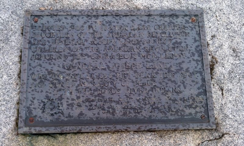
1. Table Rock Monument Marker
General Joseph Lane
who on Sept. 10, 1853 met near this spot
and signed a treaty of peace
with the Rogue River Indians.
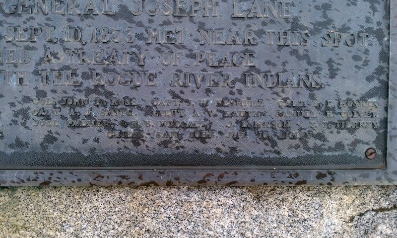
Col. John E.Ross, Capt. J. W. Nesmith, Capt. L. F. Mosher
Capt. A. J. Smith, Lieut. A. V. Kautz, Samuel H. Colver
Joel Palmer, R. B. Metcalf, J. D. Mason, T. T. Tierney
Chiefs, Sam, John, Jim, Jo, Limpy
Erected 1928 by Crater Lake Chapter Daughters of the American Revolution, General Joseph Lane Society Children of the American Revolution.
Topics and series. This monument and memorial is listed in these topic lists: Indigenous Peoples and Communities • Wars, US Indian. In addition, it is included in the Daughters of the American Revolution (DAR) series list. A significant historical date for this entry is September 10, 1853.
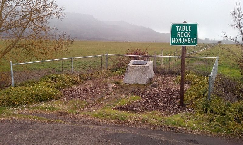
Location. 42° 27.286′ N, 122° 56.072′ W. Monument is in Central Point, Oregon, in Jackson County. It is on Table Rock Rd, on the right when traveling north. Touch for map. Monument is in this post office area: Central Point OR 97502, United States of America. Touch for directions.

Regionally, this memorial monument is in Southern Oregon. It
this page online
Other nearby markers. At least 8 other markers are within 6 miles of this marker, measured as the crow flies: Bybee Ferry (approx. 2.3 miles away); The Lure of Gold (approx. 4.9 miles away); The Takelma (approx. 4.9 miles away); US Army Camp White (approx. 4.9 miles away); Oregon Fallen War Heroes Memorial (approx. 5.2 miles away); The Salmon Ceremony at Ti'lomikh Falls (approx. 5½ miles away); The Rostel Building (approx. 5.6 miles away); The Story of LaRue and Earl Morris (approx. 5.6 miles away). Touch for a list and map of all markers in Central Point.
Photographed by Douglass Halvorsen, February 23, 2013
2. Table Rock Monument Marker
Photographed by Douglass Halvorsen, February 23, 2013
3. Table Rock Monument Marker
Credits. This page was last revised on January 20, 2018. It was originally submitted on January 18, 2018, by Douglass Halvorsen of Klamath Falls, Oregon. This page has been viewed 627 times since then and 58 times this year. Photos: 1, 2, 3. submitted on January 18, 2018, by Douglass Halvorsen of Klamath Falls, Oregon. • Bill Pfingsten was the editor who published this page.
