Alturas in Modoc County, California — The American West (Pacific Coastal)
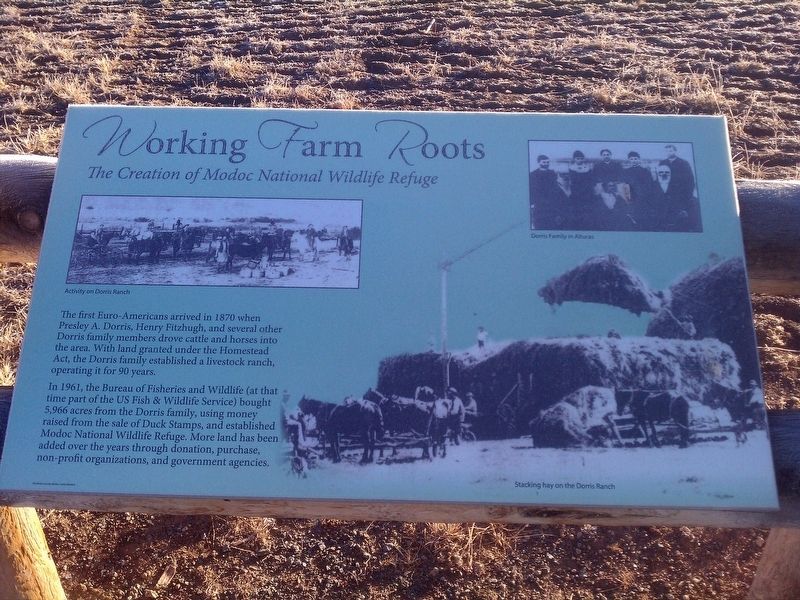
Working Farm Roots
The Creation of Modoc National Wildlife Refuge
Photographed by Douglass Halvorsen, November 17, 2013
1. Working Farm Roots Marker
In 1961, the Bureau of Fisheries and Wildlife (at that time part of the US Fish & Wildlife Service) bought 5,966 acres from the Dorris family, using money raised from the sale of Duck Stamps, and established Modoc National Wildlife Refuge. More land has been added over the years through donation, purchase, non-profit organizations, and government agencies.
Erected by Modoc County Museum.
Topics. This historical marker is listed in these topic lists: Environment • Parks & Recreational Areas • Settlements & Settlers. A significant historical year for this entry is 1870.
Location. 41° 27.798′ N, 120° 31.078′ W. Marker is in Alturas, California, in Modoc County. It is on no nearby street, on the left when traveling south. Touch for map. Marker is in this post office area: Alturas CA 96101, United States of America. Touch for directions.

Regionally,
this page online
Other nearby markers. At least 5 other markers are within 11 miles of this marker, measured as the crow flies: Lassen Trail - Pit River Ford (approx. 1.7 miles away); Sacred Heart Catholic Church (approx. 1.9 miles away); Nevada-California-Oregon Railway Passenger Depot (approx. 2 miles away); Lassen Trail - Conical Rocks (approx. 8.1 miles away); Chimney Rock (approx. 10.4 miles away).
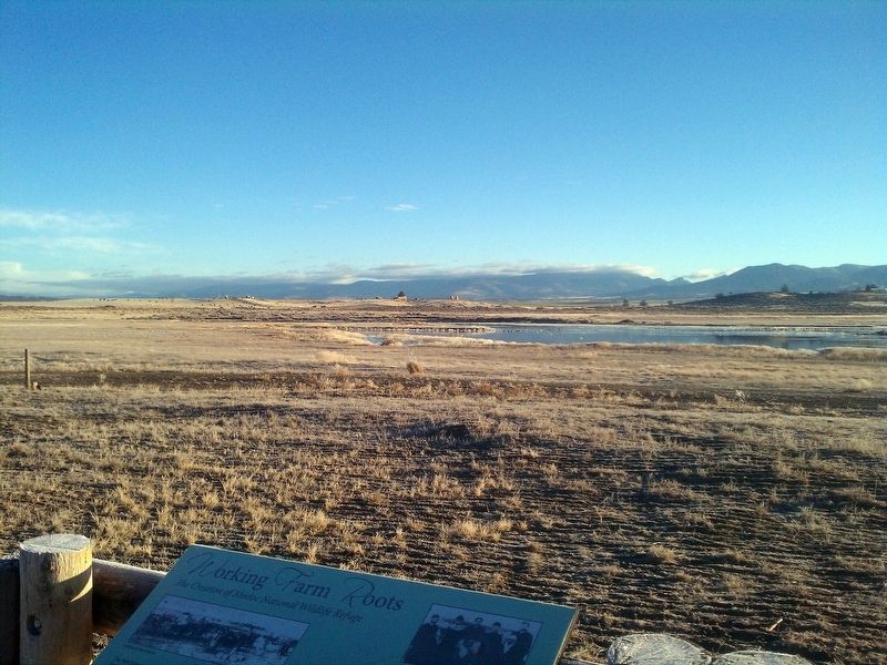
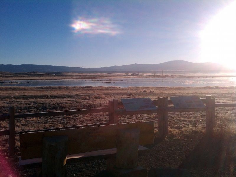
More about this marker. Marker is located within the Modoc National Wildlife Refuge, on the unnamed road between Duck Pond and Goose Pond. The easiest way to reach it when driving, perhaps, is to head east from Alturas on Parker Creek Road/56, then turn right (south) at 115 and take that for about 1/2 mile. On your left should be a road heading east, between the two - take that and drive for
Photographed by Douglass Halvorsen, November 17, 2013
2. Working Farm Roots Marker
Photographed by Douglass Halvorsen, November 17, 2013
3. Modoc National Wildlife Refuge
Photographed by Douglass Halvorsen, November 17, 2013
4. Modoc National Wildlife Refuge
Credits. This page was last revised on January 23, 2018. It was originally submitted on January 19, 2018, by Douglass Halvorsen of Klamath Falls, Oregon. This page has been viewed 387 times since then and 31 times this year. Photos: 1, 2, 3, 4. submitted on January 19, 2018, by Douglass Halvorsen of Klamath Falls, Oregon. • Andrew Ruppenstein was the editor who published this page.
