Tulelake in Siskiyou County, California — The American West (Pacific Coastal)
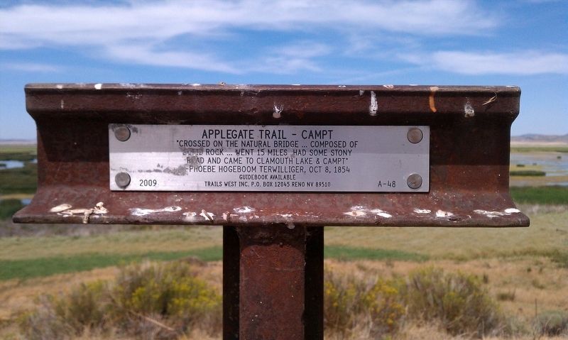
Applegate Trail - Campt
solid rock ... Went 15 miles had some stony
road and came to Clamouth Lake & campt”
-Phoebe Hogeboom Terwilliger, Oct 8, 1854
Erected 2009 by Trails West Inc. (Marker Number A-48.)
Topics and series. This historical marker is listed in these topic lists: Exploration • Roads & Vehicles. In addition, it is included in the Applegate Trail, the California Trail, and the Trails West Inc. series lists.
Location. 41° 54.143′ N, 121° 39.203′ W. Marker is in Tulelake, California, in Siskiyou County. Marker is on Dorris Brownell Rd, on the left when traveling west. Touch for map. Marker is in this post office area: Tulelake CA 96134, United States of America. Touch for directions.
Other nearby markers. At least 8 other markers are within 8 miles of this marker, measured as the crow flies. Applegate Trail - Up a Steep Hill (approx. 2½ miles away); Applegate Trail - Quite Rocky (approx. 3.1 miles away); South Road - Forks Of The Yreka Trail / Yreka Trail - The Trail Forks (approx. 5.9 miles away); Camp Tulelake (approx. 6½ miles away); Applegate Trail - Clammett Lake (approx. 6.8 miles away); Lower Klamath National Wildlife Refuge (approx. 7.1 miles away); Modoc War Casualties (approx. 7.4 miles away); War in the Lava Beds (approx. 7.4 miles away). Touch for a list and map of all markers in Tulelake.
Photographed By Douglass Halvorsen, August 4, 2012
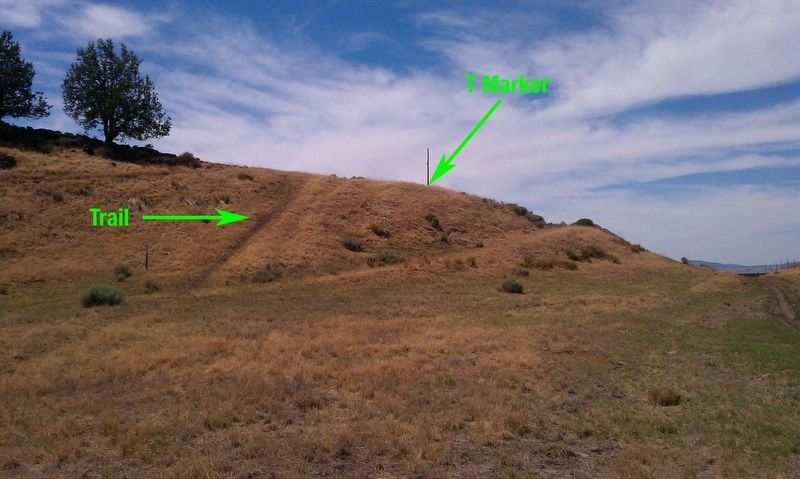
2. Applegate Trail - Campt Marker
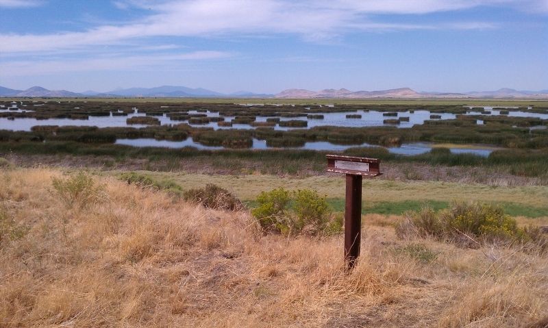
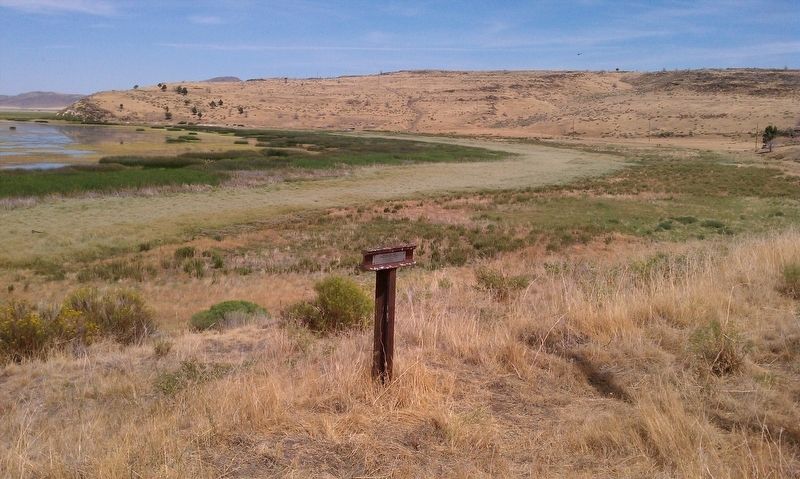
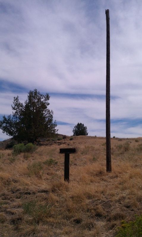
A wonderful view of the Applegate Trail that slopes down this hill. The T marker is on top of the hill by the former telephone pole. It needs to be mentioned that Lower Klamath Lake was once much higher in water elevation before dams were built in the early 1900s. This has allowed Dorris Brownell Rd to pass through here when at one time the road was covered by lake water.
Credits. This page was last revised on February 27, 2018. It was originally submitted on January 21, 2018, by Douglass Halvorsen of Klamath Falls, Oregon. This page has been viewed 226 times since then and 10 times this year. Photos: 1, 2, 3, 4, 5. submitted on January 21, 2018, by Douglass Halvorsen of Klamath Falls, Oregon. • Andrew Ruppenstein was the editor who published this page.
