Gold Beach in Curry County, Oregon — The American West (Northwest)
Gold Beach
Photographed by Cosmos Mariner, June 24, 2015
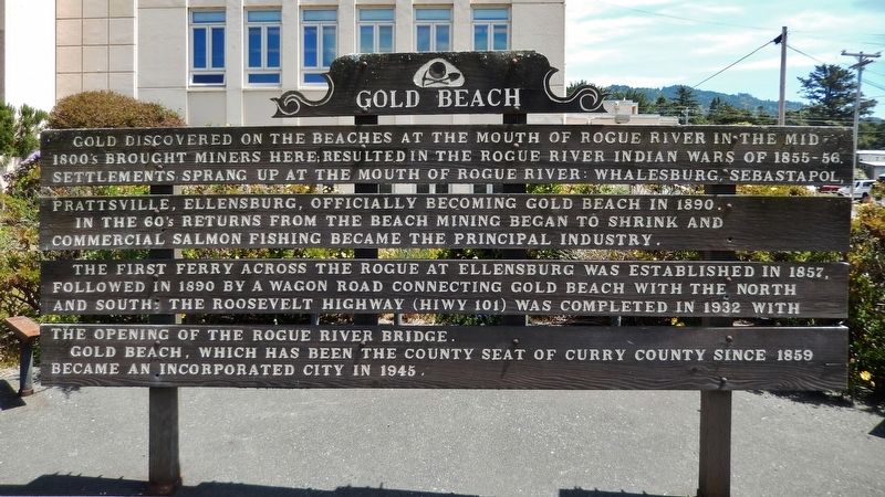
1. Gold Beach Marker
Gold discovered on the beaches at the mouth of Rogue River in the mid-1800s brought miners here; resulted in the Rogue River Indian Wars of 1855-56.
Prattsville, Ellensburg, officially becoming Gold Beach in 1890. In the 60’s returns from the beach mining began to shrink and commercial salmon fishing became the principal industry.
The first ferry across the Rogue at Ellensburg was established in 1857, followed in 1890 by a wagon road connecting Gold Beach with the north and south. The Roosevelt Highway (HIWY 101) was completed in 1932 with the opening of the Rogue River Bridge.
Gold Beach, which has been the County Seat of Curry County since 1859, became an incorporated city in 1945.
Topics. This historical marker is listed in these topic lists: Industry & Commerce • Settlements & Settlers • Wars, US Indian • Waterways & Vessels. A significant historical year for this entry is 1890.
Location. 42° 25.013′ N, 124° 25.18′ W. Marker is in Gold Beach, Oregon, in Curry County. It is on Ellensburg Avenue (U.S. 101) north of Gauntlett Street, on the right when traveling north. Marker is located in front
this page online

Regionally, this marker is in Southern Oregon and specifically on the Oregon Coast. It is also on the American Pacific Coast, in the Pacific Northwest, and in the Lewis & Clark Corridor. Globally, it is in North America, in the Cascade Range, on the Ring of Fire, on the Pacific Rim, in the Western Hemisphere, in the Western World, and in the Anglosphere. Historically, it finds itself in what was once New Spain.
Other nearby markers. At least 6 other markers are within 10 miles of this marker, measured as the crow flies: Patterson Bridge (approx. 0.4 miles away); Mary D. Hume (approx. 0.4 miles away); Gold Beach Ranger Station (approx. one mile away); First Fish Hatchery in Oregon (approx. 1.1 miles away); Oregon Geology: Cape Sebastian (approx. 5.7 miles away); Cape San Sebastian (approx. 5.7 miles away).
Another marker is no longer nearby. Conflict at Pistol River (was approx.
Photographed by Cosmos Mariner, June 24, 2015
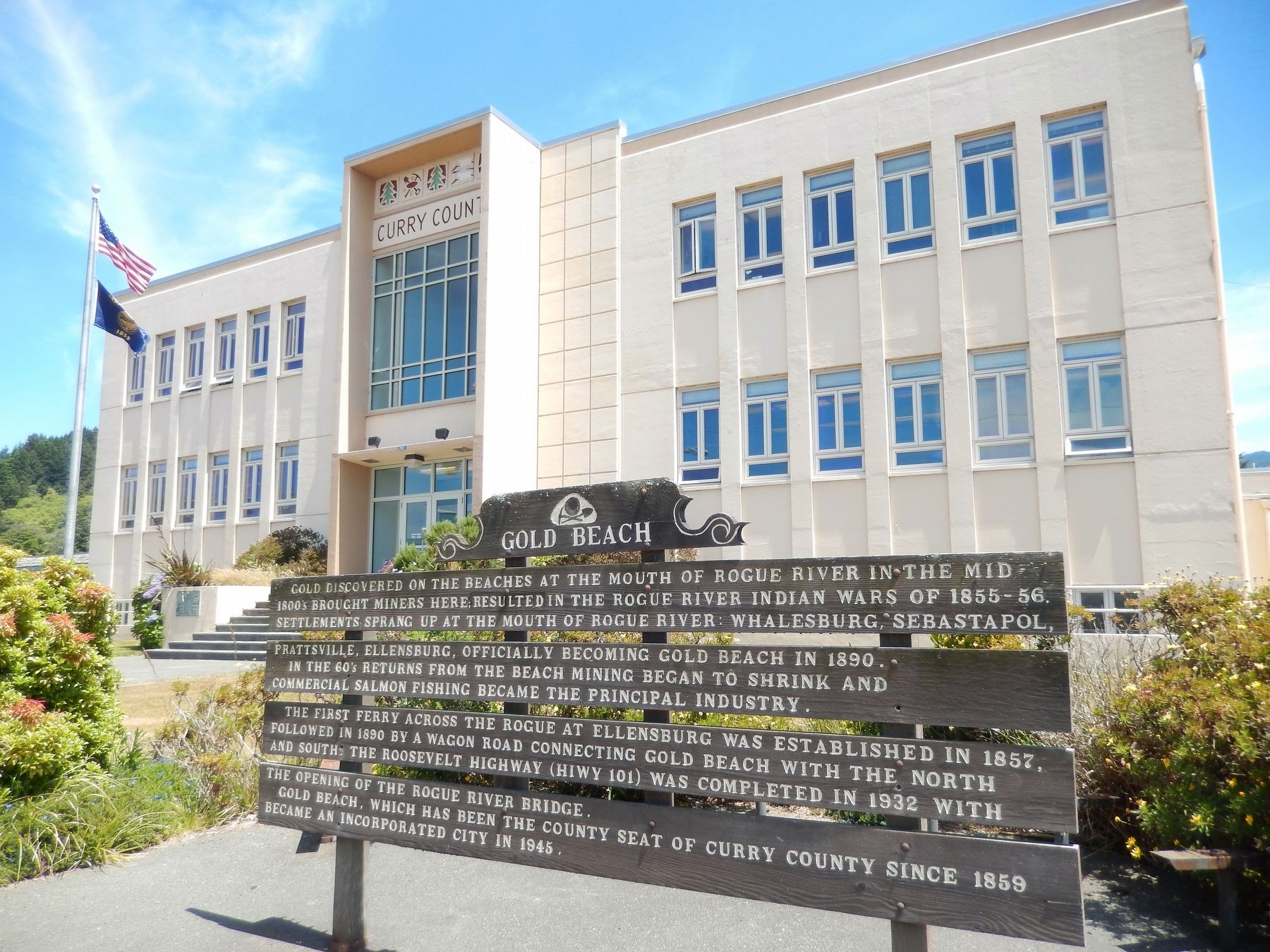
2. Gold Beach Marker (wide view; Curry County Courthouse in background)
More about this marker. Market is a large wooden structure, somewhat weathered
Related markers. Click here for a list of markers that are related to this marker.
Also see . . .
1. History of the Rogue River. Southern Oregon website entry:
The first settlers to arrive in this region were trappers and fur traders seeking pelts. They named the area “River of the Rogues” after the Native Americans that refused to give up their homes without a fight. The area saw a huge influx of settlers following the passage of the Donation Land Act in 1850, which gave couples 320 acres, and single white men 160 acres, if they lived and cultivated the land for at least 4 years. The area was flooded with thousands of additional settlers in late 1851 when gold was discovered on the Rogue. Over $70 million worth of gold was panned from the Rogue River. (Submitted on January 23, 2018, by Cosmos Mariner of Cape Canaveral, Florida.)
2. Rogue River War of 1855-56. Oregon Encyclopedia website entry (Submitted on December 17, 2024, by Larry Gertner of New York, New York.)
Photographed by Cosmos Mariner, June 24, 2015
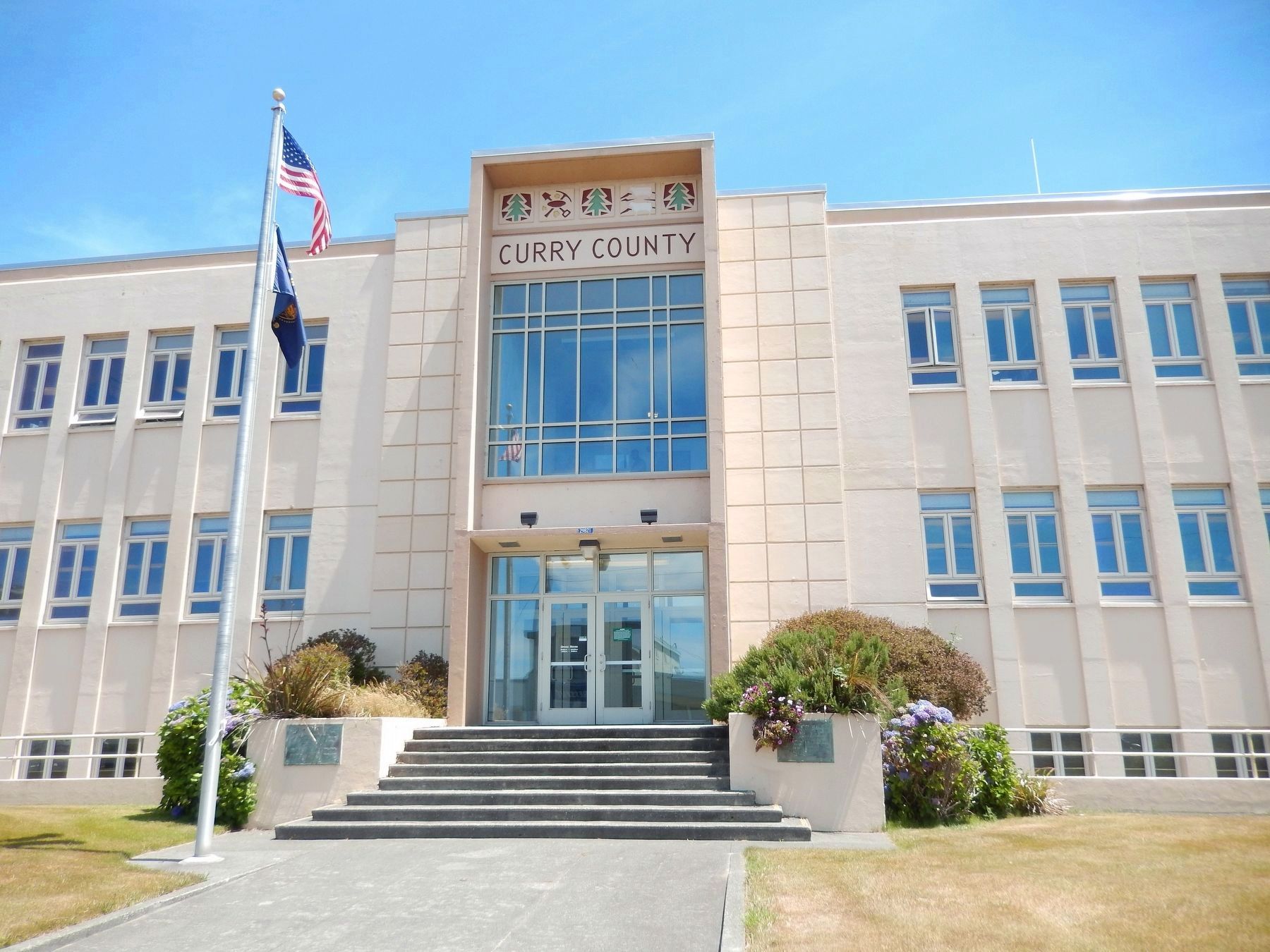
3. Curry County Courthouse (marker is located in front of the Courthouse)
Credits. This page was last revised on December 17, 2024. It was originally submitted on January 23, 2018, by Cosmos Mariner of Cape Canaveral, Florida. This page has been viewed 617 times since then and 51 times this year. Photos: 1, 2, 3. submitted on January 23, 2018, by Cosmos Mariner of Cape Canaveral, Florida. • Bill Pfingsten was the editor who published this page.
