Navy Yard in Southeast Washington in Washington, District of Columbia — The American Northeast (Mid-Atlantic)
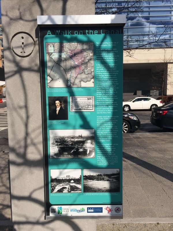
A Walk on the Canal
You are standing on the site of the Washington City Canal.
From 1815 to about 1880, the three blocks of Canal Park were part of an innovative, man-made waterways linking the Potomac River to the Eastern Branch of the Anacostia River.
In the beginning, the nation's capital had only a few dusty dirt roads. Waterways were much more efficient for moving building materials and people so George Washington and Pierre C. L'Enfant planned to transform existing creeks and streams into a canal. Engineer and architect Benjamin Latrobe designed the canal to begin where Tiber Creek emptied into the Potomac near the White House. With stone shoring up its sides, the canal ran the length of today's Constitution Avenue, then turned southeast at the foot of the Capitol. Beyond the Capitol it divided into two branches to reach the Anacostia River . The northern branch came here, then continued on to the Anacostia near the Navy Yard.
Another canal, the Chesapeake and Ohio (C&O), began in Georgetown and followed the Potomac westward. In 1833 engineers linked the C&O Canal to the Washington City Canal. Near what is now 17th Street and Constitution Avenue, NW, they built a stone house beside a lock connecting the two. This lock house is the only visible reminder of the Washington Canal.
The canal worked well until the late 1840s. Then modern railroads and paved streets competed for its traffic. As interest dwindled, so did maintenance. Silt and trash began to choke the waterway. In the 1870s most of the canal was filled, but the portion that is now Washington Canal Park remained until the 1880s.
Erected by Canal Park, Capitol Riverfront, Deputy Mayor for Planning and Economic Development, One City, District of Columbia Housing Authority.
Topics. This historical marker is listed in these topic lists: Railroads & Streetcars • Roads & Vehicles • Waterways & Vessels. A significant historical year for this entry is 1815.
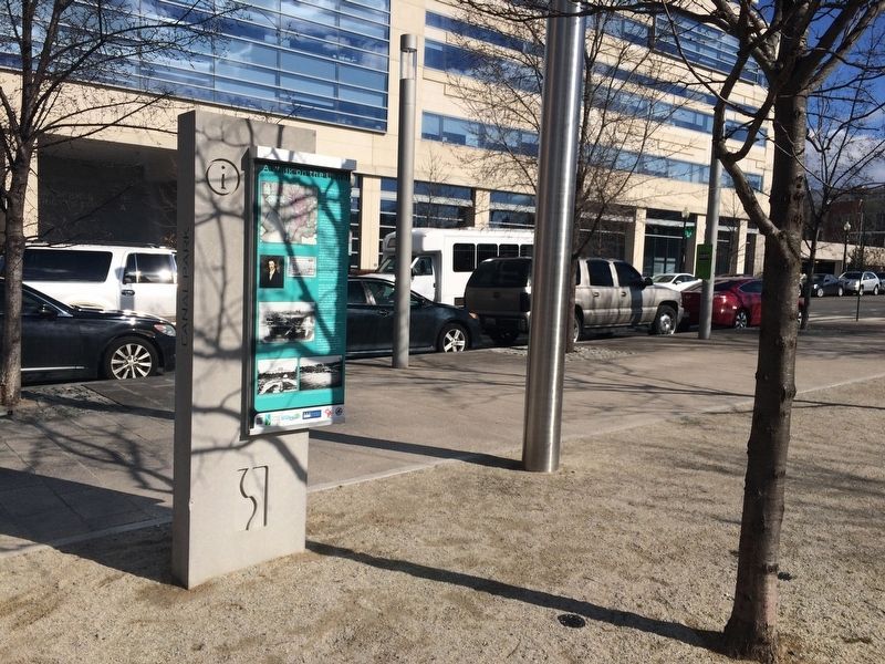
Location. 38° 52.746′ N, 77° 0.201′ W. Marker is in Southeast Washington in Washington, District of Columbia. It is in Navy Yard. Marker is at the intersection of 2nd Street Southeast and I Street Southeast on 2nd Street Southeast. Touch for map. Marker is at or near this postal address: 202 M Street Southeast, Washington DC 20003, United States of America. Touch for directions.
Other nearby markers. At least 8 other markers are within walking distance of this marker. One of DC's Oldest Neighborhoods (within shouting distance of this marker); Virginia Avenue Tunnel (1906-2015) / Navy Yard Tunnel (1872-1906) (about 600 feet away, measured in a direct line); Saint Paul African Union Methodist Protestant (AUMP) Church (approx. 0.2 miles away); Water, Water Everywhere (approx.
Credits. This page was last revised on January 30, 2023. It was originally submitted on February 2, 2018, by Devry Becker Jones of Washington, District of Columbia. This page has been viewed 161 times since then and 2 times this year. Photos: 1, 2, 3. submitted on February 2, 2018, by Devry Becker Jones of Washington, District of Columbia. • Bill Pfingsten was the editor who published this page.


