Near Manzanita in Tillamook County, Oregon — The American West (Northwest)
Safety and Beauty

Photographed By Barry Swackhamer, September 22, 2017
1. Safety and Beauty Marker
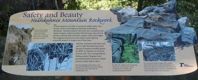
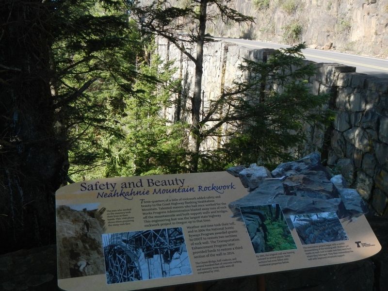
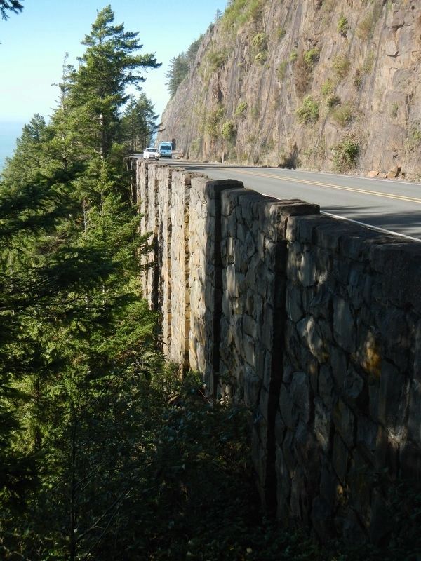
Captions: (left) The men who worked on the masonry took their lives in their hands. This 1940 photo shows them preparing the steep rick face.; (bottom center) The Chasm Bridge, half viaduct, and several hundred feet of concrete curbing and masonry stone wall were all completed by 1941. (bottom, second from the right) By 2005, the original wall was leaning outward in several places. Some sections had even fallen onto residential properties below.; (bottom right) The restoration project began with a careful disassembling of the existing wall. Workers put marks on each rock to make sure they went back where they belonged. They then reassembled the wall with improved structural support.
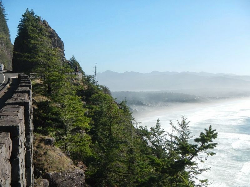
Weather and time took their toll, and in 2006 the National Scenic Byways Program awarded grants to ODOT to restore two sections of rock wall. The Transportation Enhancement Program later provided funds to restore a third section of the wall in 2014.
Erected by Oregon Department of Transportation.
Topics. This historical marker is listed in these topic lists: Man-Made Features • Roads & Vehicles.
Location. 45° 44.611′ N, 123° 57.506′ W. Marker is near Manzanita, Oregon, in Tillamook County. Marker is on Oregon Coast Highway (U.S. 101) near Meadow Loop, on the left when traveling north. Touch for map. Marker is in this post office area: Manzanita OR 97130, United States of America. Touch for directions.
Other nearby markers. At least 8 other markers are within walking distance of this marker. From Footpath to Highway (here, next to this marker); The First People (within shouting distance of this marker); Uncanny Neahkahnie (within shouting distance of this marker); Oswald West (about 700 feet away, measured in a direct line); Neahkahnie Mountain (about 700 feet away); a different marker also named Oswald West (about 700 feet away); Roosevelt Elk (about 700 feet away); In Harmony with Nature (about 700 feet away). Touch for a list and map of all markers in Manzanita.
Credits. This page was last revised on May 23, 2019. It was originally submitted on February 4, 2018, by Barry Swackhamer of Brentwood, California. This page has been viewed 160 times since then and 19 times this year. Photos: 1, 2, 3, 4. submitted on February 4, 2018, by Barry Swackhamer of Brentwood, California.


